East Providence

Log in to your account

AroundUs is a community-driven map of interesting places, built by curious explorers like you. It grows with every review, story, and photo you share.
Connect to save your favorite spots, contribute locations, and create personalized routes.
By continuing, you accept our Terms and Conditions and our Privacy Policy
Add to collection
Map
Suggest a change
Share

East Providence, Coastal city in Providence County, United States

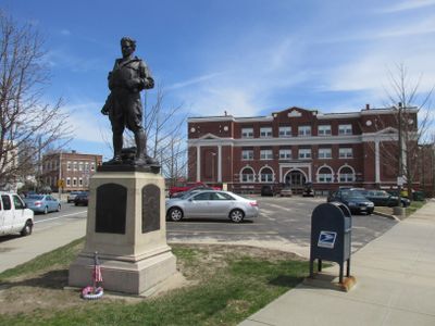
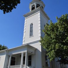
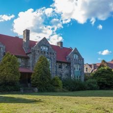
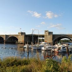
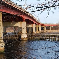
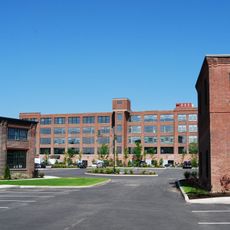
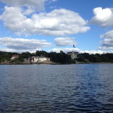
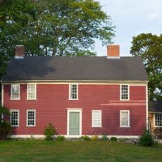
East Providence is a town situated along Narragansett Bay in Rhode Island, featuring residential neighborhoods, commercial areas, and waterfront parks. The place combines housing, shopping districts, and green spaces that serve the local community.

This town was established in 1862 as an independent municipality when it separated from Massachusetts. The founding created a new administrative entity in the region's development.

Portuguese traditions shape the local identity here, with restaurants, shops, and community celebrations reflecting strong ancestral roots in the area. This heritage is visible throughout daily life and neighborhood gathering spaces.

A network of paved bike paths runs through town, making it easy to explore neighborhoods and reach waterfront areas on two wheels. These routes are well-maintained and suitable for casual cycling.

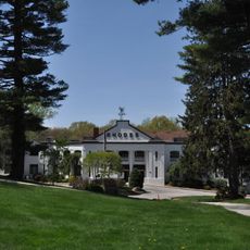
Bradley Hospital located here was the first psychiatric hospital in the United States dedicated solely to treating children. This institution pioneered approaches to childhood mental health care.

Location: Providence County

Inception: 1862

Elevation above the sea: 19 m

Website: http://eastprovidenceri.net

GPS coordinates: 41.81361,-71.37000

Latest update: December 7, 2025 09:20

Photos
Around this place
Show the full map
Crook Point Bascule Bridge
United States of America

Crook Point Bascule Bridge

1.7 km
Iway
United States of America

Iway

2.6 km
India Point Park
United States of America

India Point Park

1.9 km
Washington Bridge
United States of America

Washington Bridge

1.5 km
Henderson Bridge
United States of America

Henderson Bridge

1.9 km
Nelson W. Aldrich House
United States of America

Nelson W. Aldrich House

2.5 km
Wayland Square
United States of America

Wayland Square

2.4 km
Squantum Association
United States of America

Squantum Association

2.6 km
India Point Railroad Bridge
United States of America

India Point Railroad Bridge

1.5 km
Phillip Walker House
United States of America

Phillip Walker House

1.9 km
Bold Point
United States of America

Bold Point

1.7 km
World War I Memorial
United States of America

World War I Memorial

678 m
Corliss-Carrington House
United States of America

Corliss-Carrington House

2.8 km
James Dennis House
United States of America

James Dennis House

2.8 km
Oddfellows' Hall
United States of America

Oddfellows' Hall

1.1 km
Boston and Providence Railroad Bridge
United States of America

Boston and Providence Railroad Bridge

2.4 km
Wayland Historic District
United States of America

Wayland Historic District

2.4 km
Blackstone Park Historic District
United States of America

Blackstone Park Historic District

2.3 km
Return Sludge Pumping Station, Fields Point Sewage Treatment Plant
United States of America

Return Sludge Pumping Station, Fields Point Sewage Treatment Plant

2.6 km
Fuller Rock Light
United States of America

Fuller Rock Light

2.3 km
Stimson Avenue Historic District
United States of America

Stimson Avenue Historic District

2.7 km
Sassafras Point Light
United States of America

Sassafras Point Light

2.4 km
Chemical Building, Fields Point Sewage Treatment Plant
United States of America

Chemical Building, Fields Point Sewage Treatment Plant

2.7 km
Nathaniel Pearce House
United States of America

Nathaniel Pearce House

2.7 km
Omega Pond Railroad Bridge
United States of America

Omega Pond Railroad Bridge

2.8 km
Lippitt House Museum
United States of America

Lippitt House Museum

2.8 km
Nathaniel Daggett House
United States of America

Nathaniel Daggett House

2.8 km
Hope-Power-Cooke Streets Historic District
United States of America

Hope-Power-Cooke Streets Historic District

2.7 km
Show the full map
Reviews

Visited this place? Tap the stars to rate it and share your experience / photos with the community! Try now! You can cancel it anytime.

« East Providence - Coastal city in Providence County, United States » is provided by Around Us (aroundus.com). Images and texts are derived from Wikimedia project under a Creative Commons license. You are allowed to copy, distribute, and modify copies of this page, under the conditions set by the license, as long as this note is clearly visible.

Discover hidden gems everywhere you go!

From secret cafés to breathtaking viewpoints, skip the crowded tourist spots and find places that match your style. Our app makes it easy with voice search, smart filtering, route optimization, and insider tips from travelers worldwide. Download now for the complete mobile experience.

Around Us App Screenshot

A unique approach to discovering new places

Le Figaro

All the places worth exploring

France Info

A tailor-made excursion in just a few clicks

20 Minutes