Jerimoth Hill

Log in to your account

AroundUs is a community-driven map of interesting places, built by curious explorers like you. It grows with every review, story, and photo you share.
Connect to save your favorite spots, contribute locations, and create personalized routes.
By continuing, you accept our Terms and Conditions and our Privacy Policy
Add to collection
Map
Suggest a change
Share

Jerimoth Hill, Mountain summit in Foster, United States.

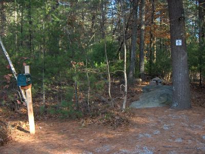
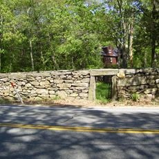
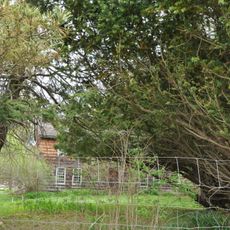
Jerimoth Hill is Rhode Island's highest point, standing at about 247 meters (810 feet) above sea level. A short walking trail winds through thick forest to reach a rocky outcrop at the top, where the trees open up to reveal views of the surrounding land.

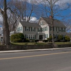
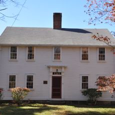
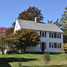
The hill was named after Jerimoth Brown, an early settler who owned the land in the 1800s. In 1911, Walter Raymond Turner donated the summit area to Brown University, establishing the institution's long-term control of the site.

Visitors from around the world come to Jerimoth Hill to check off Rhode Island from their list of state highpoints, a hobby that has grown into a tight community of peak collectors. The summit has become an informal meeting point for travelers pursuing this goal, creating a sense of shared accomplishment.

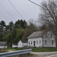
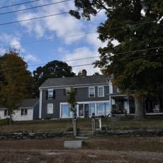
The trail can be reached from Route 101, with parking available near the trailhead in Foster. The short walk takes only a few minutes, making it an easy stop for visitors passing through the area.

Despite being Rhode Island's highest point, this summit remains largely unknown to the general public, partly because it lacks obvious landmarks or facilities. This quiet status makes it an overlooked destination compared to more well-traveled peaks elsewhere in the region.

Location: Rhode Island

Elevation above the sea: 247 m

GPS coordinates: 41.84922,-71.77925

Latest update: December 6, 2025 22:01

Photos
Around this place
Dayville Historic District
United States of America

Dayville Historic District

8.8 km
Old Furnace State Park
United States of America

Old Furnace State Park

10.4 km
Swamp Meadow Bridge
United States of America

Swamp Meadow Bridge

6.9 km
Quaddick State Park
United States of America

Quaddick State Park

12.1 km
Old Killingly High School
United States of America

Old Killingly High School

10.2 km
Quinebaug Mill – Quebec Square Historic District
United States of America

Quinebaug Mill – Quebec Square Historic District

10.7 km
Broad Street – Davis Park Historic District
United States of America

Broad Street – Davis Park Historic District

9.6 km
Thompson Hill Historic District
United States of America

Thompson Hill Historic District

14.1 km
Glocester Town Pound
United States of America

Glocester Town Pound

10.5 km
Clayville Historic District
United States of America

Clayville Historic District

11.7 km
Hopkins Mill Historic District
United States of America

Hopkins Mill Historic District

6.7 km
Pascoag Grammar School
United States of America

Pascoag Grammar School

14.1 km
Cady-Copp House
United States of America

Cady-Copp House

8.5 km
Daniel's Village Archeological Site
United States of America

Daniel's Village Archeological Site

7 km
Temple Beth Israel
United States of America

Temple Beth Israel

9.6 km
Israel Putnam School
United States of America

Israel Putnam School

12.9 km
Danielson Main Street Historic District
United States of America

Danielson Main Street Historic District

10 km
Bridgeton School
United States of America

Bridgeton School

14 km
Putnam High School
United States of America

Putnam High School

13.5 km
Moses Taft House
United States of America

Moses Taft House

14 km
Josephine White Block
United States of America

Josephine White Block

11.6 km
Moosup Valley Historic District
United States of America

Moosup Valley Historic District

12.3 km
Dexter Arnold Farmstead
United States of America

Dexter Arnold Farmstead

10.2 km
Amos Cooke House
United States of America

Amos Cooke House

10.8 km
Capt. George Dorrance House
United States of America

Capt. George Dorrance House

12.2 km
George Pickering Nichols House
United States of America

George Pickering Nichols House

14 km
Killingly Intermediate School
United States of America

Killingly Intermediate School

9.8 km
Manton-Hunt-Farnum Farm
United States of America

Manton-Hunt-Farnum Farm

14.2 km
Show the full map
Reviews

Visited this place? Tap the stars to rate it and share your experience / photos with the community! Try now! You can cancel it anytime.

« Jerimoth Hill - Mountain summit in Foster, United States » is provided by Around Us (aroundus.com). Images and texts are derived from Wikimedia project under a Creative Commons license. You are allowed to copy, distribute, and modify copies of this page, under the conditions set by the license, as long as this note is clearly visible.

Discover hidden gems everywhere you go!

From secret cafés to breathtaking viewpoints, skip the crowded tourist spots and find places that match your style. Our app makes it easy with voice search, smart filtering, route optimization, and insider tips from travelers worldwide. Download now for the complete mobile experience.

Around Us App Screenshot

A unique approach to discovering new places

Le Figaro

All the places worth exploring

France Info

A tailor-made excursion in just a few clicks

20 Minutes