Broad Street – Davis Park Historic District

Log in to your account

AroundUs is a community-driven map of interesting places, built by curious explorers like you. It grows with every review, story, and photo you share.
Connect to save your favorite spots, contribute locations, and create personalized routes.
Continue with Google
Continue with Apple
Continue with X
Continue with Facebook
Continue with email
By continuing, you accept our Terms and Conditions and our Privacy Policy
Create an account
Add to collection
Map
Suggest a change
Share

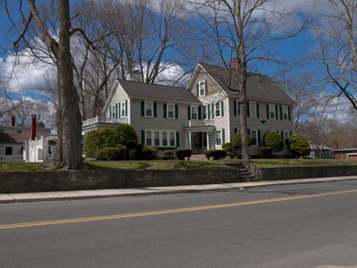
Broad Street – Davis Park Historic District, Historical residential district in Danielson, Connecticut.

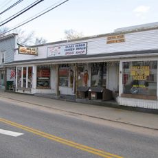
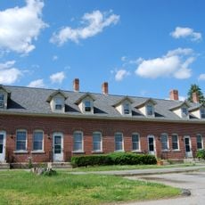
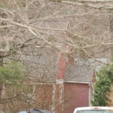
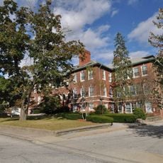
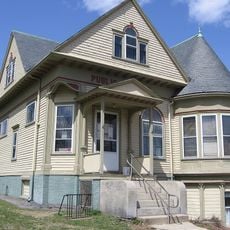
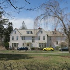
Broad Street - Davis Park Historic District is a residential area in Danielson containing roughly 95 buildings with Victorian, Queen Anne, and Colonial Revival architecture. The properties sit on elevated ground near Davis Park and Main Street's row of shops and services.

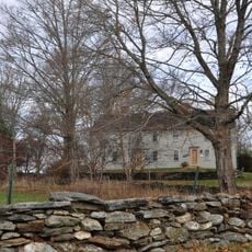
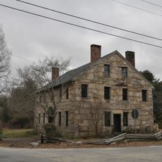
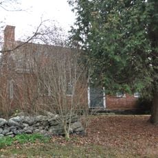
The area developed after 1809 when the Danielson brothers established a cotton mill that drew families and workers to settle nearby. One of the oldest homes in the district dates to 1825 and reflects this early period of growth.

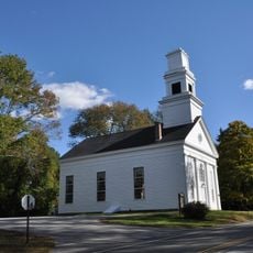
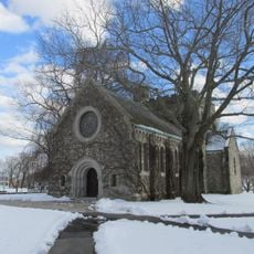
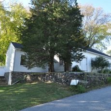
Temple Beth Israel and St. Alban's Church reflect different faith communities whose presence shaped the neighborhood over many decades. These buildings show how religious groups became part of the local identity and daily life here.

Walking through the district is straightforward since homes line the main streets and everything connects directly to each other. The hilly terrain means some walking paths have slopes, so wear comfortable shoes when exploring.

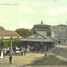
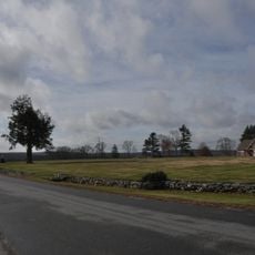
Davis Park is a triangular green space created in 1890 that sits at the heart of the district where Broad Street, Reynolds Street, and Main Street converge. This small park breaks up the residential blocks and gives the area a gathering point for neighbors.

Location: Connecticut

GPS coordinates: 41.80750,-71.88056

Latest update: December 14, 2025 18:06

Photos
Around this place
Jerimoth Hill
United States of America

Jerimoth Hill

9.6 km
Israel Putnam Wolf Den
United States of America

Israel Putnam Wolf Den

9.5 km
Dayville Historic District
United States of America

Dayville Historic District

4.3 km
United States of America

Israel Putnam Monument

6.2 km
Old Furnace State Park
United States of America

Old Furnace State Park

3.1 km
Swamp Meadow Bridge
United States of America

Swamp Meadow Bridge

12.6 km
Mashamoquet Brook State Park
United States of America

Mashamoquet Brook State Park

9.9 km
Moosup Valley State Park Trail
United States of America

Moosup Valley State Park Trail

12.1 km
Central Village Historic District
United States of America

Central Village Historic District

10.1 km
Putnam Farm
United States of America

Putnam Farm

6.1 km
Old Killingly High School
United States of America

Old Killingly High School

600 m
Abington Congregational Church
United States of America

Abington Congregational Church

11.9 km
Pomfret Street Historic District
United States of America

Pomfret Street Historic District

11.4 km
Quinebaug Mill – Quebec Square Historic District
United States of America

Quinebaug Mill – Quebec Square Historic District

1.2 km
Brooklyn Green Historic District
United States of America

Brooklyn Green Historic District

6.1 km
Glen Falls Bridge
United States of America

Glen Falls Bridge

10.2 km
Cady-Copp House
United States of America

Cady-Copp House

9.4 km
Daniel's Village Archeological Site
United States of America

Daniel's Village Archeological Site

8.8 km
Pomfret Town House
United States of America

Pomfret Town House

9.4 km
Temple Beth Israel
United States of America

Temple Beth Israel

461 m
Israel Putnam School
United States of America

Israel Putnam School

12.2 km
Jonathan Wheeler House
United States of America

Jonathan Wheeler House

11.1 km
Danielson Main Street Historic District
United States of America

Danielson Main Street Historic District

426 m
Bush Hill Historic District
United States of America

Bush Hill Historic District

7 km
Aldrich Free Public Library
United States of America

Aldrich Free Public Library

9.9 km
Mill Ridge Manor
United States of America

Mill Ridge Manor

9.9 km
Capt. George Dorrance House
United States of America

Capt. George Dorrance House

10.9 km
Killingly Intermediate School
United States of America

Killingly Intermediate School

5.1 km
Show the full map
Reviews

Visited this place? Tap the stars to rate it and share your experience / photos with the community! Try now! You can cancel it anytime.

« Broad Street – Davis Park Historic District - Historical residential district in Danielson, Connecticut » is provided by Around Us (aroundus.com). Images and texts are derived from Wikimedia project under a Creative Commons license. You are allowed to copy, distribute, and modify copies of this page, under the conditions set by the license, as long as this note is clearly visible.

Discover hidden gems everywhere you go!

From secret cafés to breathtaking viewpoints, skip the crowded tourist spots and find places that match your style. Our app makes it easy with voice search, smart filtering, route optimization, and insider tips from travelers worldwide. Download now for the complete mobile experience.

Around Us App Screenshot

A unique approach to discovering new places

Le Figaro

All the places worth exploring

France Info

A tailor-made excursion in just a few clicks

20 Minutes