Enable Location

We need your location to show you interesting places around you

Discover nearby places

Find interesting locations and hidden gems around you

Precise directions

Get accurate directions and distances to places

Your location is never shared with other users. It's only used when you tap the location button.

Pomfret Street Historic District

Log in to your account

Start exploring — it's free

Trusted by 62,545 travelers worldwide

Continue with Google
Continue with Apple
or

We will send you a code to connect

By continuing, you accept our Terms and Conditions and our Privacy Policy

Check your inbox

We've sent a pincode in your inbox. Please enter the code below.

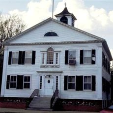
Pomfret Street Historic District, National Register listed historic district in Pomfret, Connecticut.

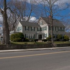
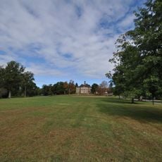
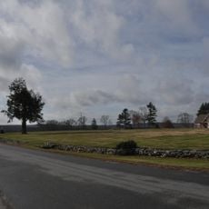
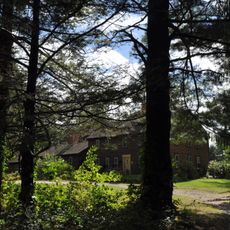
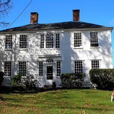
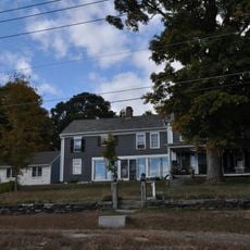
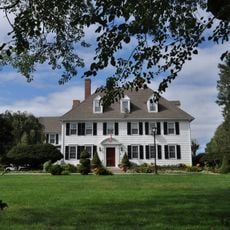
Pomfret Street Historic District spans two miles along State Route 169 with more than 180 buildings, each surrounded by generous grounds and mature trees. The houses sit far back from the road, creating a spacious, rural appearance rather than a densely built streetscape.

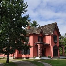
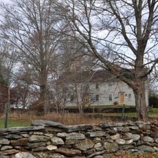
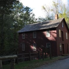
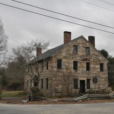
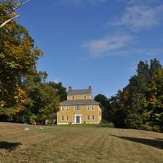
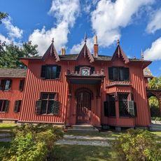
The area spans over 250 years of development, starting with colonial-era homes that were later joined by country estates built during the resort period between 1872 and 1930. This era of transformation brought significant architectural changes to the landscape.

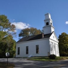
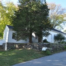
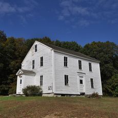
The area hosts two significant churches that continue to serve as community gathering places alongside residential properties of different periods. These buildings and homes create a diverse streetscape that reflects how residents have valued both religious and domestic life over time.

The district is best explored by a leisurely drive or walk along Route 169, with various buildings visible from the road. The wide spacing between houses means walking the entire area takes time, so a car is practical for seeing the full range of architecture.

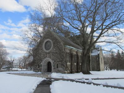
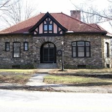
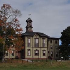
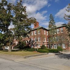
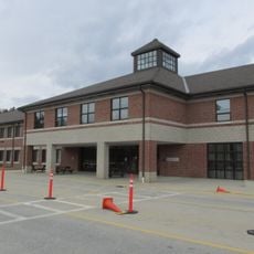
Two well-known schools, Pomfret School and Rectory School, occupy former estate grounds and use buildings designed by celebrated architects. The Romanesque Clark Chapel from 1908 stands out as a notable example of how earlier country properties were later repurposed for educational use.

The community of curious travelers

AroundUs brings together thousands of curated places, local tips, and hidden gems, enriched daily by 60,000 contributors worldwide.

Start exploring
Location
GPS coordinates
41.88861,-71.96417
Latest update
December 14, 2025 18:14
Around this place
Roseland Cottage
United States of America

Roseland Cottage

6.8 km
Israel Putnam Wolf Den
United States of America

Israel Putnam Wolf Den

5.3 km
Dayville Historic District
United States of America

Dayville Historic District

8.1 km
Frog Rock
United States of America

Frog Rock

7.6 km
Mashamoquet Brook State Park
United States of America

Mashamoquet Brook State Park

4.5 km
Putnam Farm
United States of America

Putnam Farm

7.4 km
Abington Congregational Church
United States of America

Abington Congregational Church

5 km
Broad Street – Davis Park Historic District
United States of America

Broad Street – Davis Park Historic District

11.4 km
Thompson Hill Historic District
United States of America

Thompson Hill Historic District

11 km
Brooklyn Green Historic District
United States of America

Brooklyn Green Historic District

11.2 km
Brayton Grist Mill
United States of America

Brayton Grist Mill

7 km
Cady-Copp House
United States of America

Cady-Copp House

8.2 km
Daniel's Village Archeological Site
United States of America

Daniel's Village Archeological Site

9.4 km
Pomfret Town House
United States of America

Pomfret Town House

2.7 km
Woodstock Academy Classroom Building
United States of America

Woodstock Academy Classroom Building

7 km
Israel Putnam School
United States of America

Israel Putnam School

5.7 km
Benjamin Bosworth House
United States of America

Benjamin Bosworth House

10 km
Woodstock Hill Historic District
United States of America

Woodstock Hill Historic District

7 km
Danielson Main Street Historic District
United States of America

Danielson Main Street Historic District

11.4 km
Bush Hill Historic District
United States of America

Bush Hill Historic District

8.5 km
Taylor's Corner
United States of America

Taylor's Corner

7.7 km
Sumner-Carpenter House
United States of America

Sumner-Carpenter House

8.7 km
Union Society of Phoenixville House
United States of America

Union Society of Phoenixville House

10.2 km
Natchaug Forest Lumber Shed
United States of America

Natchaug Forest Lumber Shed

11.4 km
George Pickering Nichols House
United States of America

George Pickering Nichols House

9.3 km
Roseland Cottage
United States of America

Roseland Cottage

6.8 km
Killingly Intermediate School
United States of America

Killingly Intermediate School

6.9 km
Mathew Bowen Homestead
United States of America

Mathew Bowen Homestead

6.1 km
Show the full map
« Pomfret Street Historic District - National Register listed historic district in Pomfret, Connecticut » is provided by Around Us (aroundus.com). Images and texts are derived from Wikimedia project under a Creative Commons license. You are allowed to copy, distribute, and modify copies of this page, under the conditions set by the license, as long as this note is clearly visible.

Discover hidden gems everywhere you go!

From secret cafés to breathtaking viewpoints, skip the crowded tourist spots and find places that match your style. Our app makes it easy with voice search, smart filtering, route optimization, and insider tips from travelers worldwide. Download now for the complete mobile experience.

Around Us App Screenshot

A unique approach to discovering new places

Le Figaro

All the places worth exploring

France Info

A tailor-made excursion in just a few clicks

20 Minutes

Around Us
Travel Guide & Maps
Download

Send to your phone

QR Code
1

Open the camera app on your mobile.

2

Point at the QR code with your camera. A notification will appear.

3

Tap the notification to open the link.