Dayville Historic District

Log in to your account

AroundUs is a community-driven map of interesting places, built by curious explorers like you. It grows with every review, story, and photo you share.
Connect to save your favorite spots, contribute locations, and create personalized routes.
Continue with Google
Continue with Apple
Continue with X
Continue with Facebook
Continue with email
By continuing, you accept our Terms and Conditions and our Privacy Policy
Create an account
Add to collection
Map
Suggest a change
Share

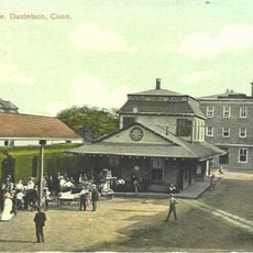
Dayville Historic District, Historic district in Killingly, Connecticut.

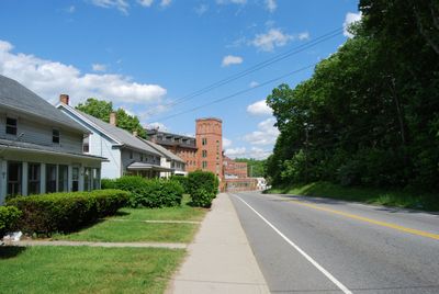
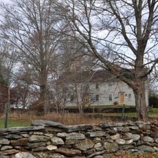
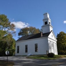
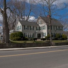
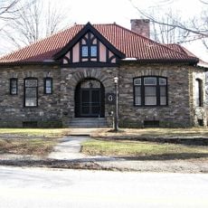
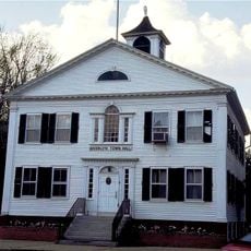
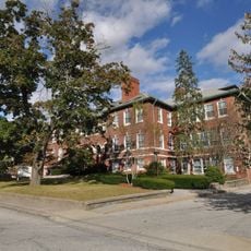
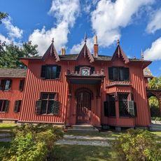
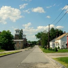
Dayville Historic District is a preserved area in Killingly containing 21 major buildings clustered mainly around Main and Pleasant Streets, dating from between 1840 and 1912. The district covers roughly 15 acres and is bordered by open land, non-historic houses, and a railroad right-of-way.

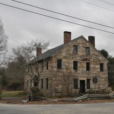
The district originated in the 1830s when Captain John Day developed water-powered facilities and built a dam and canal system. This infrastructure enabled the settlement of industrial operations that shaped the area over the following decades.

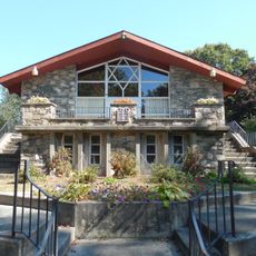
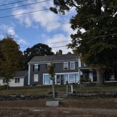
The district displays houses in various 19th century styles, including Greek Revival structures with gable roofs and Italianate buildings with bracketed cornices. These architectural choices reflect the tastes that were common across New England during that era.

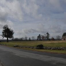
The district is best explored on foot to appreciate the details of the buildings and how they are arranged around the two main streets. The open and wooded boundaries of the area provide clear reference points for visitors seeking to understand its limits.

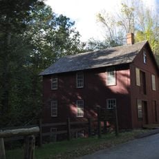
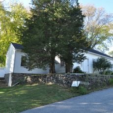
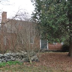
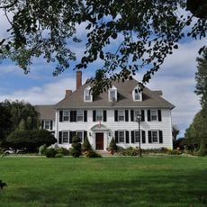
Behind the Dr. Asahel Darling House, three 19th century outbuildings remain intact: two carriage barns and a well house. These rare survivors offer insight into the everyday life of the district's more affluent residents during that period.

Location: Connecticut

Elevation above the sea: 82 m

GPS coordinates: 41.84583,-71.88556

Latest update: December 12, 2025 07:56

Photos
Around this place
Jerimoth Hill
United States of America

Jerimoth Hill

8.8 km
Israel Putnam Wolf Den
United States of America

Israel Putnam Wolf Den

8.2 km
United States of America

Israel Putnam Monument

8.5 km
Old Furnace State Park
United States of America

Old Furnace State Park

7.3 km
Mashamoquet Brook State Park
United States of America

Mashamoquet Brook State Park

8.2 km
Quaddick State Park
United States of America

Quaddick State Park

13.7 km
United States of America

The Cottage House

12.7 km
Putnam Farm
United States of America

Putnam Farm

6 km
Abington Congregational Church
United States of America

Abington Congregational Church

10.2 km
Pomfret Street Historic District
United States of America

Pomfret Street Historic District

8.1 km
Quinebaug Mill – Quebec Square Historic District
United States of America

Quinebaug Mill – Quebec Square Historic District

5.3 km
Broad Street – Davis Park Historic District
United States of America

Broad Street – Davis Park Historic District

4.3 km
Thompson Hill Historic District
United States of America

Thompson Hill Historic District

12.5 km
Brooklyn Green Historic District
United States of America

Brooklyn Green Historic District

8.3 km
Cady-Copp House
United States of America

Cady-Copp House

5.3 km
Daniel's Village Archeological Site
United States of America

Daniel's Village Archeological Site

5 km
Pomfret Town House
United States of America

Pomfret Town House

6.8 km
Temple Beth Israel
United States of America

Temple Beth Israel

4.7 km
Israel Putnam School
United States of America

Israel Putnam School

8 km
Jonathan Wheeler House
United States of America

Jonathan Wheeler House

13.7 km
Danielson Main Street Historic District
United States of America

Danielson Main Street Historic District

4.5 km
Bush Hill Historic District
United States of America

Bush Hill Historic District

7.6 km
Elliottville Lower Mill
United States of America

Elliottville Lower Mill

3.6 km
George Pickering Nichols House
United States of America

George Pickering Nichols House

11.3 km
Roseland Cottage
United States of America

Roseland Cottage

13.8 km
Killingly Intermediate School
United States of America

Killingly Intermediate School

1.2 km
Mathew Bowen Homestead
United States of America

Mathew Bowen Homestead

13 km
Wauregan Historic District
United States of America

Wauregan Historic District

11.4 km
Show the full map
Reviews

Visited this place? Tap the stars to rate it and share your experience / photos with the community! Try now! You can cancel it anytime.

« Dayville Historic District - Historic district in Killingly, Connecticut » is provided by Around Us (aroundus.com). Images and texts are derived from Wikimedia project under a Creative Commons license. You are allowed to copy, distribute, and modify copies of this page, under the conditions set by the license, as long as this note is clearly visible.

Discover hidden gems everywhere you go!

From secret cafés to breathtaking viewpoints, skip the crowded tourist spots and find places that match your style. Our app makes it easy with voice search, smart filtering, route optimization, and insider tips from travelers worldwide. Download now for the complete mobile experience.

Around Us App Screenshot

A unique approach to discovering new places

Le Figaro

All the places worth exploring

France Info

A tailor-made excursion in just a few clicks

20 Minutes