Scituate, town in Rhode Island, United States
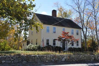
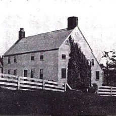
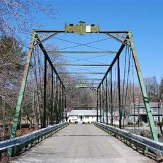
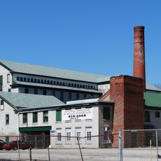
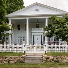
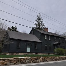
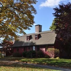
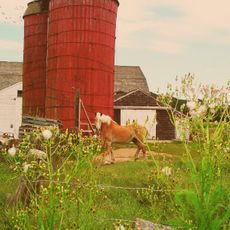
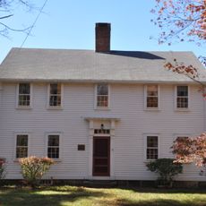
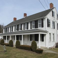
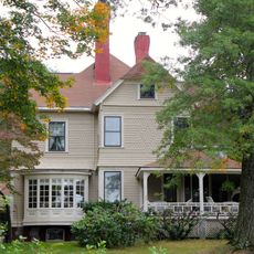
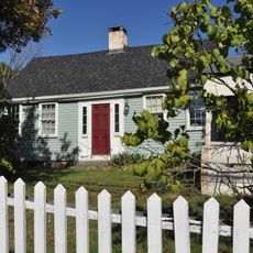
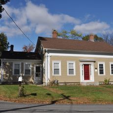
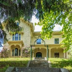
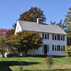
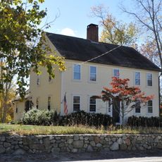
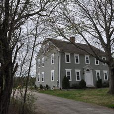
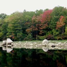
Scituate is a town in Providence County, Rhode Island, set among forests, streams, and ponds. It is made up of several villages, including North Scituate, Hope, Ashland, Clayville, and Fiskeville, each with its own character.
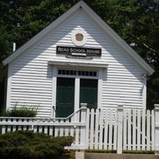
The town was founded in 1710 by settlers from Scituate, Massachusetts, and became an official part of Rhode Island in 1731. Stephen Hopkins, one of its early residents, later served as governor of the colony and signed the Declaration of Independence.
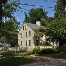
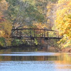
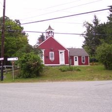
The name Scituate comes from the Native American word Satuit, meaning cold brook. In the villages, local gatherings and seasonal events are a regular part of life, giving visitors a chance to see how the community comes together.
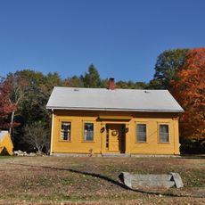
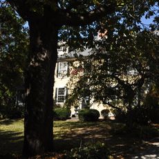
The villages are easy to walk through on their own, though a car is helpful for getting between them. Parks and green areas are spread throughout the town and are accessible year-round.
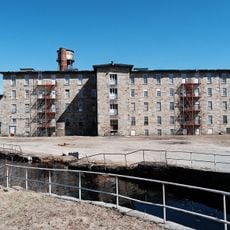
In 1915, the state took a large portion of the town's land to build a water reservoir for Providence, which meant demolishing homes, schools, and churches. Just a few decades later, in 1946, the area was briefly considered as a possible site for the United Nations headquarters, partly because of its advanced radio monitoring activities.
The community of curious travelers
AroundUs brings together thousands of curated places, local tips, and hidden gems, enriched daily by 60,000 contributors worldwide.