Enable Location

We need your location to show you interesting places around you

Discover nearby places

Find interesting locations and hidden gems around you

Precise directions

Get accurate directions and distances to places

Your location is never shared with other users. It's only used when you tap the location button.

Burrillville

Log in to your account

Start exploring — it's free

Trusted by 65,939 travelers worldwide

Continue with Google
Continue with Apple
or

We will send you a code to connect

By continuing, you accept our Terms and Conditions and our Privacy Policy

Check your inbox

We've sent a pincode in your inbox. Please enter the code below.

Discussion Reviews 1 Photos
16k Popularity

Burrillville, town in Providence County, Rhode Island, United States

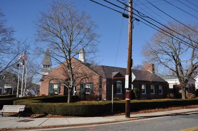
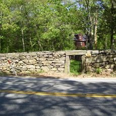
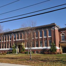
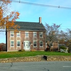
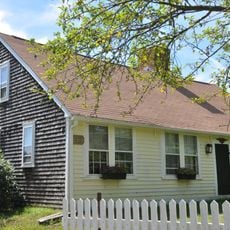
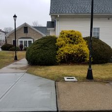
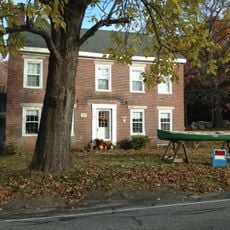
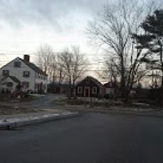
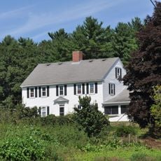
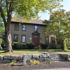
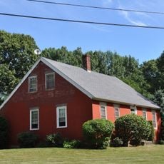
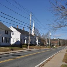
Burrillville is a town in the northern part of Providence County, Rhode Island, set among forests and small rivers near the borders with Connecticut and Massachusetts. It is made up of seven villages, including Pascoag, Harrisville, and Mapleville, with older homes, small shops, and open rural land spread across the area.

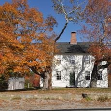
English colonists first settled this area in the 1660s, building small farms and mills along the rivers that ran through the forests. The town was officially incorporated in 1806 and named after Senator James Burrill Jr., who was active in Rhode Island politics at the time.

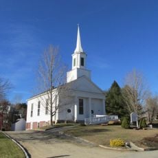
The name Burrillville honors Senator James Burrill Jr., a notable figure in Rhode Island's early political life. The seven villages that make up the town, including Pascoag and Harrisville, each have their own character, and residents tend to identify with their home village rather than with the broader town.

The town is best reached by car, with Route 44 and Route 7 being the main roads into the area from different directions. For those who want to stay overnight, there are options ranging from a farm-style bed and breakfast to a campground with spaces for tents and RVs.

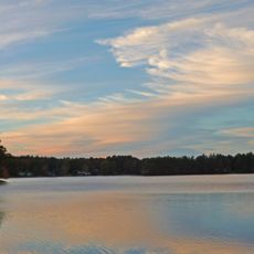
A short walk from Buck Hill Management Area leads to a marker where Rhode Island, Connecticut, and Massachusetts all meet at one point. In the village of Glendale, Spring Lake Beach runs one of the oldest arcades in the country, where visitors can play old-style games and rent canoes or paddleboats on the same visit.

The community of curious travelers

AroundUs brings together thousands of curated places, local tips, and hidden gems, enriched daily by 60,000 contributors worldwide.

Start exploring
Inception
1730
Elevation above the sea
179 m
Shares border with
Putnam
GPS coordinates
41.96833,-71.68306
Latest update
March 3, 2026 08:20
Around this place
Blackstone River Bikeway
United States of America

Blackstone River Bikeway

9.2 km
Douglas State Forest
United States of America

Douglas State Forest

9.8 km
Quaddick State Park
United States of America

Quaddick State Park

10.7 km
Glocester Town Pound
United States of America

Glocester Town Pound

8.2 km
Pascoag Grammar School
United States of America

Pascoag Grammar School

1.9 km
Jacob Aldrich House
United States of America

Jacob Aldrich House

7.3 km
A. E. Cook House
United States of America

A. E. Cook House

8.4 km
Bridgeton School
United States of America

Bridgeton School

2.5 km
Joseph Richardson House
United States of America

Joseph Richardson House

6.9 km
Moses Taft House
United States of America

Moses Taft House

2.9 km
George Taft House
United States of America

George Taft House

11 km
North Smithfield Public Library
United States of America

North Smithfield Public Library

9.2 km
Seth Aldrich House
United States of America

Seth Aldrich House

7.7 km
Old Douglas Center Historic District
United States of America

Old Douglas Center Historic District

10.6 km
William Mowry House
United States of America

William Mowry House

10.5 km
C.R. Thomson House and Barn
United States of America

C.R. Thomson House and Barn

7.1 km
Daniel Aldrich Cottage and Sawmill
United States of America

Daniel Aldrich Cottage and Sawmill

7.3 km
William and Mary Farnum House
United States of America

William and Mary Farnum House

10.5 km
Elisha Southwick House
United States of America

Elisha Southwick House

8.5 km
Dexter Richardson House
United States of America

Dexter Richardson House

8.5 km
Main Street Historic District
United States of America

Main Street Historic District

10.9 km
Sylvanus Holbrook House
United States of America

Sylvanus Holbrook House

10.8 km
Central Street Historic District
United States of America

Central Street Historic District

10.3 km
J. Kensely House
United States of America

J. Kensely House

8.2 km
Esten-Bowen House
United States of America

Esten-Bowen House

5.5 km
Moses Farnum House
United States of America

Moses Farnum House

9.5 km
Manton-Hunt-Farnum Farm
United States of America

Manton-Hunt-Farnum Farm

9.3 km
Harrisville Historic District
United States of America

Harrisville Historic District

467 m
Show the full map
Reviews
Share your experience

No review yet

Discussions
Start a discussion...

No discussion yet

« Burrillville - town in Providence County, Rhode Island, United States » is provided by Around Us (aroundus.com). Images and texts are derived from Wikimedia project under a Creative Commons license. You are allowed to copy, distribute, and modify copies of this page, under the conditions set by the license, as long as this note is clearly visible.

Discover hidden gems everywhere you go!

From secret cafés to breathtaking viewpoints, skip the crowded tourist spots and find places that match your style. Our app makes it easy with voice search, smart filtering, route optimization, and insider tips from travelers worldwide. Download now for the complete mobile experience.

Around Us App Screenshot

A unique approach to discovering new places

Le Figaro

All the places worth exploring

France Info

A tailor-made excursion in just a few clicks

20 Minutes

Around Us
Travel Guide & Maps
Download

Send to your phone

QR Code
1

Open the camera app on your mobile.

2

Point at the QR code with your camera. A notification will appear.

3

Tap the notification to open the link.