
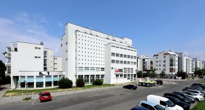
Wohnhausanlage Brünner Straße 219–221, public housing in Floridsdorf
Location: Vienna
Location: Floridsdorf
Inception: 1995
Architects: Sepp Frank, Kurt Hlaweniczka, Dieter Hayde
Address: Brünner Straße 219–221, 1210 Wien
GPS coordinates: 48.29213,16.41675
Latest update: March 23, 2025 05:45
Stammersdorfer Zentralfriedhof
1.5 km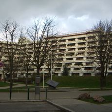
Heinz-Nittel-Hof
1.5 km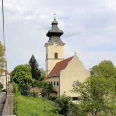
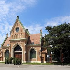
Pfarrkirche Stammersdorf
1.3 km
Paul-Grüninger-Schule
954 m
Pfarrkirche Cyrill & Method (Floridsdorf)
79 m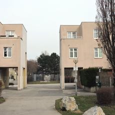
Ernst-Theumer-Hof
831 m
Heizhaus Bahnhof Stammersdorf
233 m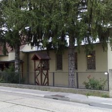
St. Josef der Arbeiter
973 m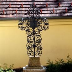
Luther-Kreuz Liebleitnergasse
1.3 km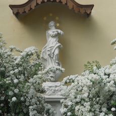
Maria Immaculata Liebleitnergasse
1.3 km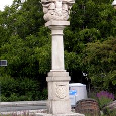
Dreifaltigkeitssäule Jedlersdorfer Straße
452 m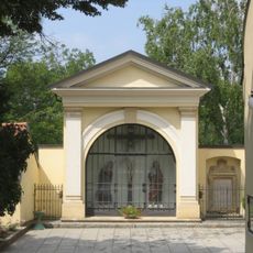
Kreuzigungsgruppe Liebleitnergasse
1.3 km
Wohnhausanlage Hahnemanngasse 3
666 m
Wohnhausanlage Amtsstraße 42
1.5 km
Wohnhausanlage Jedlersdorfer Straße 180
743 m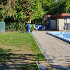
Familienbad Stammersdorf
973 m
Kirchhof mit Pestkreuz und Immaculatasäule
1.3 km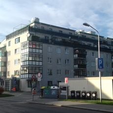
Otto-Felix-Kanitz-Hof
236 m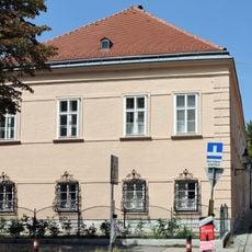
Stammersdorf Pfarrhof
1.2 km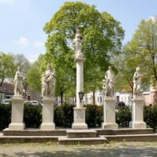
Figurengruppe
1.2 km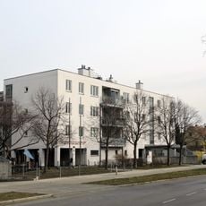
Wohnhausanlage Hanreitergasse 3
809 m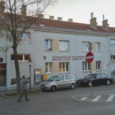
Margarethe-Trappl-Hof
1.1 km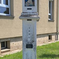
Wayside shrine
227 m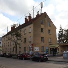
Wohnhausanlage Stammersdorfer Straße 116–120
846 m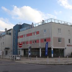
Wohnhausanlage Jedlersdorfer Straße 294
305 m
Wohnhausanlage Brünner Straße 188
789 m
Gerasdorfer Straße 61
725 m
Mesnerhaus Stammersdorf
1.3 kmVisited this place? Tap the stars to rate it and share your experience / photos with the community! Try now! You can cancel it anytime.
Discover hidden gems everywhere you go!
From secret cafés to breathtaking viewpoints, skip the crowded tourist spots and find places that match your style. Our app makes it easy with voice search, smart filtering, route optimization, and insider tips from travelers worldwide. Download now for the complete mobile experience.

A unique approach to discovering new places❞
— Le Figaro
All the places worth exploring❞
— France Info
A tailor-made excursion in just a few clicks❞
— 20 Minutes