
Birrebeekvallei, protected area in Belgium (E-321)
Location: Meise
Inception: 2003
Shares border with: Sint-Brixius-Rode, Nieuwenrode
Address: Broekstraat
GPS coordinates: 50.96334,4.33074
Latest update: July 10, 2025 15:06
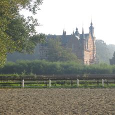
's Gravenkasteel
3.6 km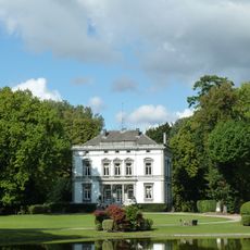
Kasteel van Imde
1.8 km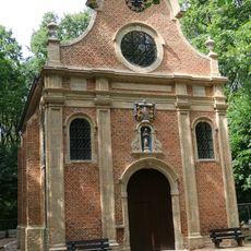
Boskapel
1.8 km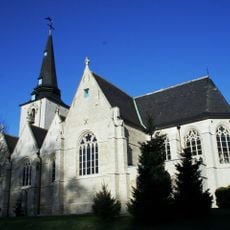
Sint-Martinuskerk
3.3 km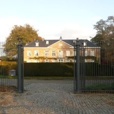
Kasteel de Eiken
2.8 km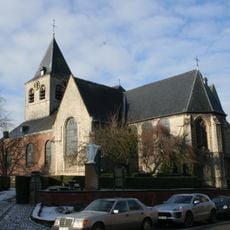
Sint-Laurentiuskerk
2.1 km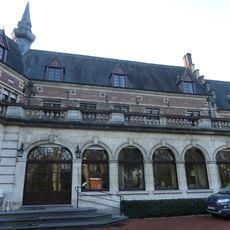
Kasteel Ter Hasselt
2.3 km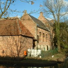
Oude Pastorie
2.2 km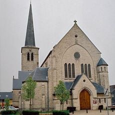
Sint-Rumolduskerk
3.5 km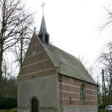
Sint-Eligiuskapel
2.4 km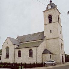
Onze-Lieve-Vrouwekerk
2.8 km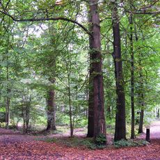
Leefdaalbos
3 km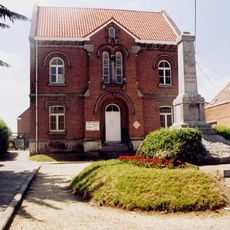
Gemeentehuis van Beigem, onderwijzerswoning en school
2.4 km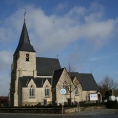
Sint-Brixiuskerk
804 m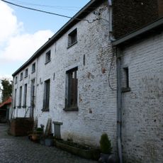
Hof ten Rode
330 m
Domein Terassel
2.2 km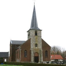
Onze-Lieve-Vrouw Boodschapkerk
3.1 km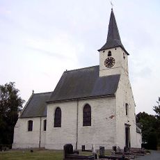
Sint-Stefanuskerk
3.3 km
Kasteel ten Berg
2.5 km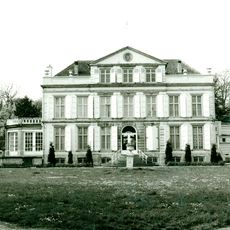
Kasteel Ter Wilder
3.1 km
Hof ten Doorn
3 km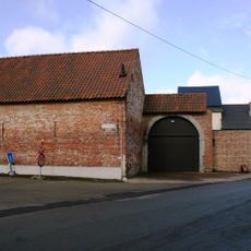
Hof te Rode of Ter Kercke
870 m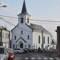
Sint-Quintinuskerk
2.1 km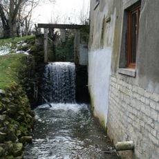
Baggemolen op de Molenbeek
2.3 km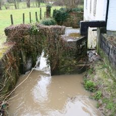
Meysemolen
3.7 km
Watermolen van Imde
1.8 km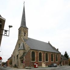
Onze-Lieve-Vrouw-Tenhemelopnemingkerk
2.2 km
Hof ten Berge
2.6 kmReviews
Visited this place? Tap the stars to rate it and share your experience / photos with the community! Try now! You can cancel it anytime.
Discover hidden gems everywhere you go!
From secret cafés to breathtaking viewpoints, skip the crowded tourist spots and find places that match your style. Our app makes it easy with voice search, smart filtering, route optimization, and insider tips from travelers worldwide. Download now for the complete mobile experience.

A unique approach to discovering new places❞
— Le Figaro
All the places worth exploring❞
— France Info
A tailor-made excursion in just a few clicks❞
— 20 Minutes