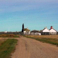
Unity and District Regional Park, regional park in Saskatchewan, Canada
Location: Round Valley No. 410
GPS coordinates: 52.44466,-109.20462
Latest update: November 24, 2025 09:45
Fort Battleford
69 km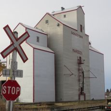
Marsden
60.4 km
Leipzig Convent
45.8 km
Delmas
67.4 km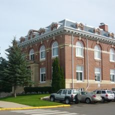
Battleford Court House
68.6 km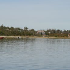
Dillberry Lake Provincial Park
61.7 km
Government House
67.5 km
St. Norbert's Roman Catholic Church
68.8 km
Battle of Cut Knife Hill National Historic Site
46.9 km
Kerrobert Court House
58.8 km
Progress Wildlife Management Unit
55.4 km
Atton's Lake Regional Park
49 km
Macklin Lake Regional Park
51.8 km
Tramping Lake Regional Park
58.8 km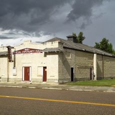
Luseland Theatre
42.4 km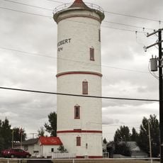
Kerrobert Water Tower
58.8 km
Marsden Game Preserve
59.4 km
Suffern Lake Regional Park (Manitou Section)
55.7 km
Suffern Lake Regional Park
51.5 km
Wilkie Regional Park
33.4 km
Mariposa Wildlife Management Unit
56.1 km
Macklin Game Preserve
52.7 km
Wilkie Beach
43.9 km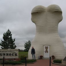
World's Largest Bunnock
50.8 km
Table Mountain Regional Park
57.1 km
Kerrobert Golf Club
59 km
Canada's Biggest Baseball Bat
68.6 km
Statue, Work of art
67.6 kmReviews
Visited this place? Tap the stars to rate it and share your experience / photos with the community! Try now! You can cancel it anytime.
Discover hidden gems everywhere you go!
From secret cafés to breathtaking viewpoints, skip the crowded tourist spots and find places that match your style. Our app makes it easy with voice search, smart filtering, route optimization, and insider tips from travelers worldwide. Download now for the complete mobile experience.

A unique approach to discovering new places❞
— Le Figaro
All the places worth exploring❞
— France Info
A tailor-made excursion in just a few clicks❞
— 20 Minutes