Valley Regional Park, regional park in Saskatchewan, Canada
Location: Rosthern No. 403
GPS coordinates: 52.68338,-106.30058
Latest update: November 24, 2023 23:42
Fort Carlton
25.9 km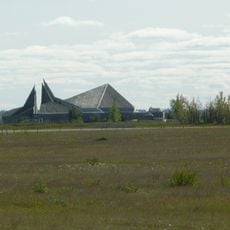
Wanuskewin Heritage Park
54.2 km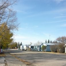
Laird
19.8 km
St. Louis Bridge
42.7 km
Fish Creek
17.4 km
South Branch House
29.2 km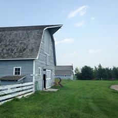
Seager Wheeler's Maple Grove Farm
5.7 km
Petrofka Bridge
36.9 km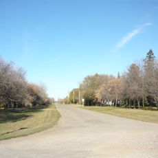
Neuanlage
27.6 km
All Saints Anglican Church
15.1 km
Doukhobor Dugout House
29.7 km
Vonda Rink
42.5 km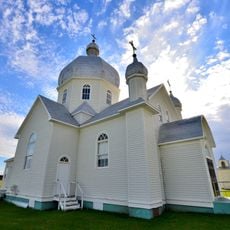
St. John the Baptist Ukrainian Greek Catholic Church
29.3 km
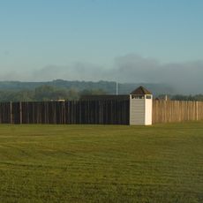
Battle of Duck Lake National Historic Site
15.8 km
Valley Regional Park (Waldheim Section)
23.7 km
Blaine Lake Game Preserve
37.1 km
Petrofka Recreation Site
37.8 km
Wakaw Lake Regional Park
46.7 km
Symbole Métis
15 km
Le village miniature
28 km
Legends Golf Course
42.9 km
Blaine Lake Citizens Golf Course
42.9 km
Barn Playhouse
40.7 km
Scenic viewpoint
14.5 km
Outdoor Ampitheater
54.9 km
Scenic viewpoint
55.2 km
Scenic viewpoint
55.2 km
Scenic viewpoint
55.3 kmReviews
Visited this place? Tap the stars to rate it and share your experience / photos with the community! Try now! You can cancel it anytime.
Discover hidden gems everywhere you go!
From secret cafés to breathtaking viewpoints, skip the crowded tourist spots and find places that match your style. Our app makes it easy with voice search, smart filtering, route optimization, and insider tips from travelers worldwide. Download now for the complete mobile experience.

A unique approach to discovering new places❞
— Le Figaro
All the places worth exploring❞
— France Info
A tailor-made excursion in just a few clicks❞
— 20 Minutes