
Rehling, municipality of Germany
Location: Aichach-Friedberg
Elevation above the sea: 497 m
Website: http://gemeinde-rehling.de
GPS coordinates: 48.48333,10.93333
Latest update: March 2, 2025 20:15
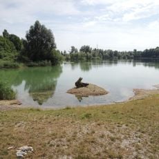
Aindlinger Baggersee
5.3 km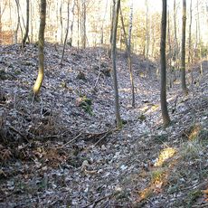
Pfarrerschanze
4.6 km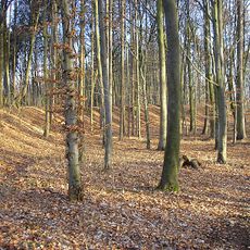
Burgstall Sand (Todtenweis)
3.4 km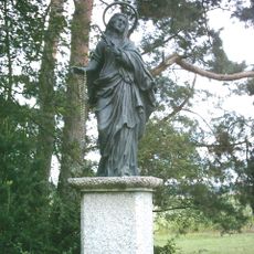
Salzbergkapelle
2.8 km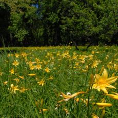
Taglilienfeld (Rehling)
3.7 km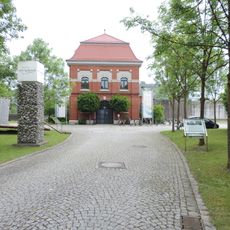
Lechmuseum Bayern
5.2 km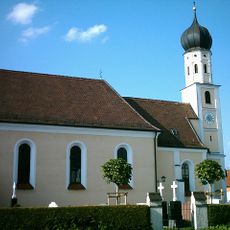
St. Andreas (Anwalting)
2.7 km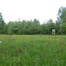
Lechaue westlich Todtenweis
5 km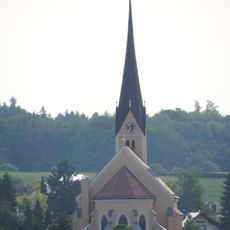
St. Martin (Aindling)
3.5 km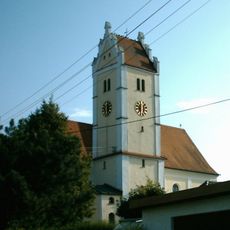
Mariä Geburt (Gebenhofen)
3.5 km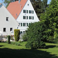
Pfarrhaus
3.5 km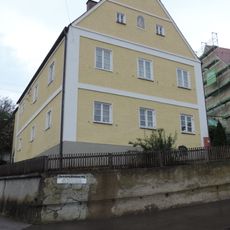
Pfarrhaus Gebenhofen
3.5 km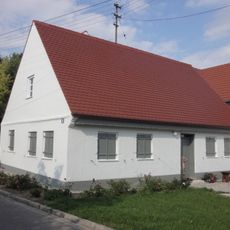
St.-Ulrich-Straße 18
4 km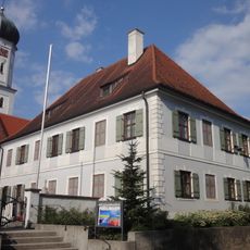
Rectory
3.7 km
Wohnhaus, Geburtshaus Heinrich von Hofstätters
3.6 km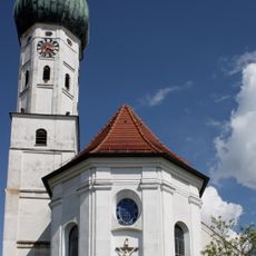
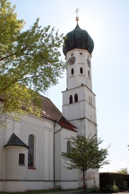
Kościół św. Wita i św. Katarzyny w Rehling
4 m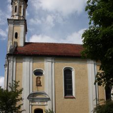
St. Wolfgang
1.4 km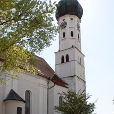
St. Vitus und Katharina
370 m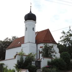
St. Nikolaus
966 m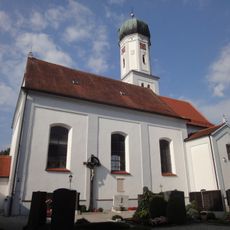
St. Ulrich und Afra
3.7 km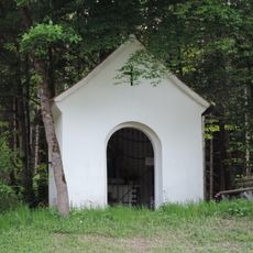
Katholische Marienkapelle
2.4 km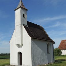
Kapelle St. Stephan
3.2 km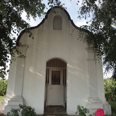
Katholische Feldkapelle Sand
4 km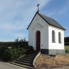
Kapelle Maria Hilf
2.2 km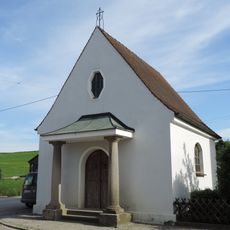
Kapelle Herz Jesu
1.1 km
Lechauwald bei Todtenweis und Rehling
4.8 km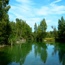
Lechauen nördlich Augsburg
4.4 km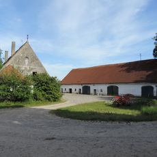
Bauernhof
2.4 kmReviews
Visited this place? Tap the stars to rate it and share your experience / photos with the community! Try now! You can cancel it anytime.
Discover hidden gems everywhere you go!
From secret cafés to breathtaking viewpoints, skip the crowded tourist spots and find places that match your style. Our app makes it easy with voice search, smart filtering, route optimization, and insider tips from travelers worldwide. Download now for the complete mobile experience.

A unique approach to discovering new places❞
— Le Figaro
All the places worth exploring❞
— France Info
A tailor-made excursion in just a few clicks❞
— 20 Minutes