
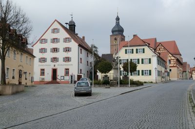
Altstadt Merkendorf, human settlement
Location: Merkendorf
Elevation above the sea: 438 m
GPS coordinates: 49.20400,10.70170
Latest update: April 3, 2025 10:20
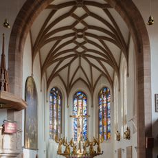
Unserer Lieben Frau
96 m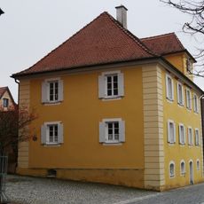
1. Pfarrhaus (Merkendorf)
81 m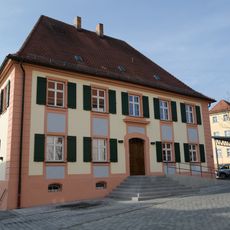
Steingruberhaus
83 m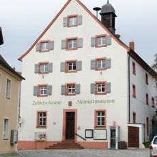
Zehntscheune
39 m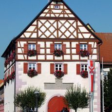
Rathaus (Merkendorf)
21 m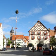
Marktplatz (Merkendorf)
34 m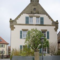
2. Pfarrhaus (Merkendorf)
123 m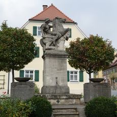
Kriegerdenkmal
10 m
Hauptstraße 20
92 m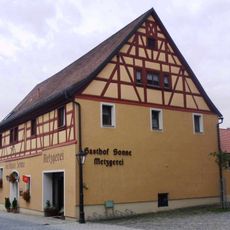
Hauptstraße 6
77 m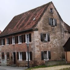
Schulstraße 14
74 m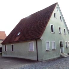
Brauhausstraße 17
58 m
Hauptstraße 21
82 m
Amtshaus
32 m
Schulstraße 12
49 m
Weberstraße 2
107 m
Hauptstraße 13
41 m
Hauptstraße 22
104 m
Brauhausstraße 4
81 m
Weberstraße 6
122 m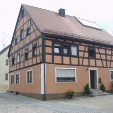
Brauhausstraße 15
73 m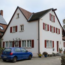
Brauhausstraße 19
60 m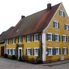
Marktplatz 10
47 m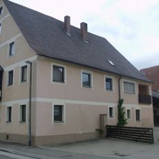
Adlerstraße 12
86 m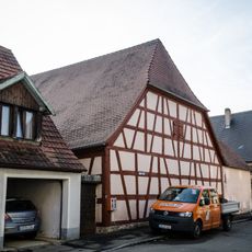
Adlerstraße 5 (Merkendorf)
89 m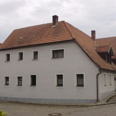
Wohnhaus
122 m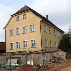
Evangelische Kinderschule
96 m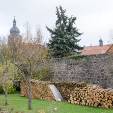
City wall and moat area
58 mReviews
Visited this place? Tap the stars to rate it and share your experience / photos with the community! Try now! You can cancel it anytime.
Discover hidden gems everywhere you go!
From secret cafés to breathtaking viewpoints, skip the crowded tourist spots and find places that match your style. Our app makes it easy with voice search, smart filtering, route optimization, and insider tips from travelers worldwide. Download now for the complete mobile experience.

A unique approach to discovering new places❞
— Le Figaro
All the places worth exploring❞
— France Info
A tailor-made excursion in just a few clicks❞
— 20 Minutes