
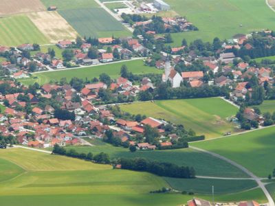
Thaining, municipality of Germany
Location: Landsberg am Lech
Elevation above the sea: 692 m
Part of: Verwaltungsgemeinschaft Reichling
Website: https://thaining.de
GPS coordinates: 47.97361,10.95750
Latest update: April 23, 2025 02:15
St. Wolfgang (Thaining)
420 m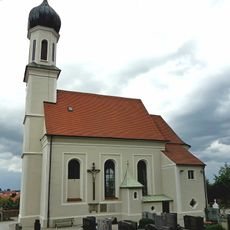
Saalkirche
2.1 km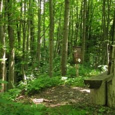
Burgstall Ödenburg
1.3 km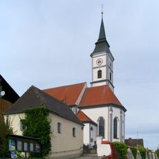
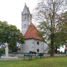
St. Martin (Thaining)
85 m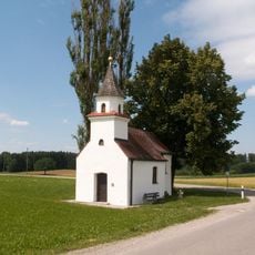
Maria Einsiedeln (Dettenschwang Obb)
4 km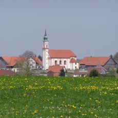
St. Laurentius (Pflugdorf)
2.9 km
Unsere Liebe Frau
2.6 km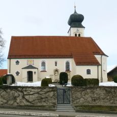
St. Peter und Paul
3 km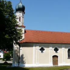
Chapel Hofstetten
4.1 km
Unsere Liebe Frau von Altötting
595 m
Hl. Dreifaltigkeit
2.8 km
Schutz des Oberhauser Weihers mit westlichem Umland in den Gemeinden Dettenschwang, Issing, Ludenhausen und Thaining als LSG
2.2 km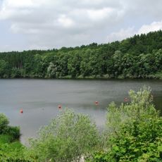
Landschaftsteile um den Windachspeicher
4.3 km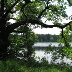
Oberhauser Weiher
3.1 km
Hofstetten-Hagenheim-Hauptstraße 18-Gasthaus
2.6 km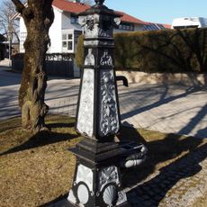
Dorfbrunnen Pflugdorf
3 km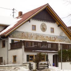
Wall painting
3.1 km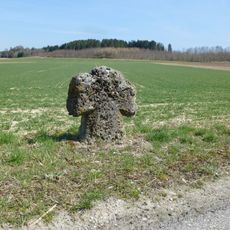
Toteisloch Egelsee E von Hagenheim
2.6 km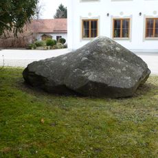
Erratischer Block in Thaining
104 m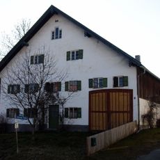
Landsberger Straße 13 (Issing)
1.9 km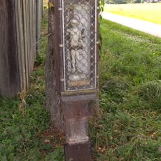
Hofstetten-Roßgemeinde-Bildstock
3.9 km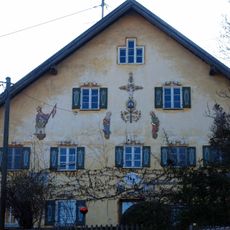
Ehemals Bauernhaus
2 km
Hofstetten-Hagenheim-Hauptstraße 30
2.5 km
Hausfigur
2.9 km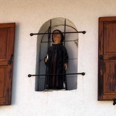
Hausfigur
2.9 km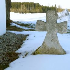
Tuffsteinkreuz3 (Dettenschwang Obb)
4 km
Grenzsteine
2.6 km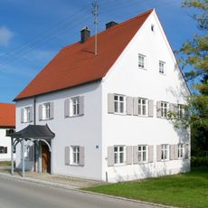
Pfarrhaus
55 mVisited this place? Tap the stars to rate it and share your experience / photos with the community! Try now! You can cancel it anytime.
Discover hidden gems everywhere you go!
From secret cafés to breathtaking viewpoints, skip the crowded tourist spots and find places that match your style. Our app makes it easy with voice search, smart filtering, route optimization, and insider tips from travelers worldwide. Download now for the complete mobile experience.

A unique approach to discovering new places❞
— Le Figaro
All the places worth exploring❞
— France Info
A tailor-made excursion in just a few clicks❞
— 20 Minutes