
Paunzhausen, municipality of Germany
Location: Freising
Elevation above the sea: 515 m
Part of: Verwaltungsgemeinschaft Allershausen
Shares border with: Allershausen, Hohenkammer
Website: http://paunzhausen.de
GPS coordinates: 48.48333,11.56667
Latest update: March 3, 2025 14:32
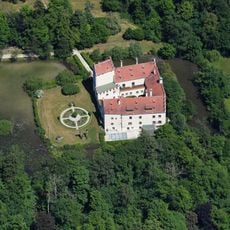
Schloss Reichertshausen
5.1 km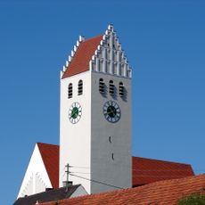
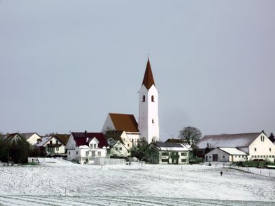
Sankt Arsatius
4.8 km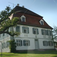
Schloss Aiterbach
4.2 km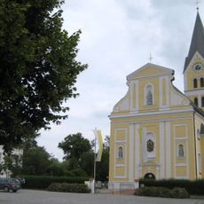
St. Joseph
6.2 km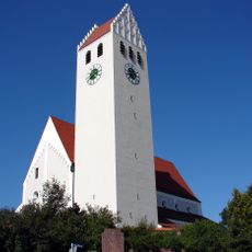
Ilmmünster Abbey
4.8 km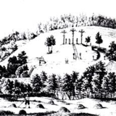
Kalvarienberg
4.2 km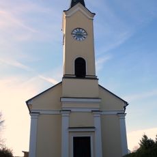
Evangelische Pfarrkirche (Oberallershausen)
6.1 km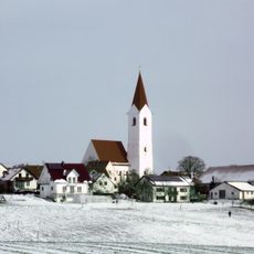
Mariä Himmelfahrt (Johanneck)
1.2 km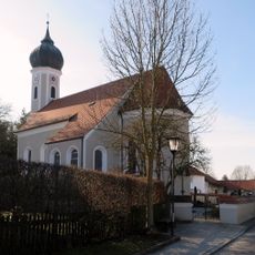
St. Brictius
4.1 km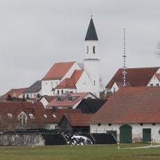
St. Peter und Paul (Unterkienberg)
5.2 km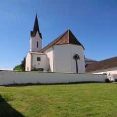
Filialkirche St. Peter und Paul
4.5 km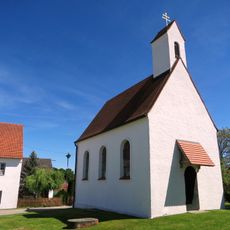
Kapelle St. Magdalena
3.9 km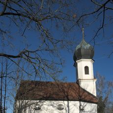
Kapelle
5.7 km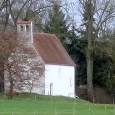
St. Vitus
5.2 km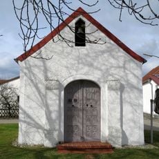
Ortskapelle Deutldorf
5.8 km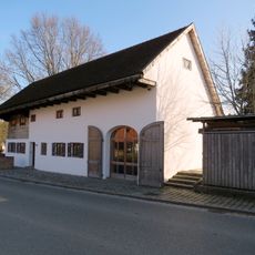
Ehemaliges Kleinbauernhaus (Aiterbach)
3.9 km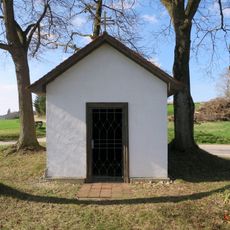
Wegkapelle Unterkienberg
5.1 km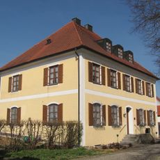
Pfarrhaus
3.9 km
Ortskapelle
3.4 km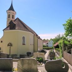
Katholische Pfarrkirche Sankt Joseph
3.4 km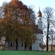
Katholische Filial- und Wallfahrtskirche zum Hl. Blut und St. Pankratius
3.4 km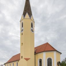
St. Stephanus
4.8 km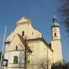
St. Johannes der Täufer
3.9 km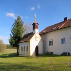
Kapelle Riedhof
3.8 km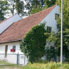
Bauernhaus
2.6 km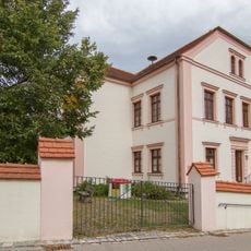
Mädchenschule
4.7 km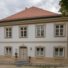
Propsthaus
4.8 km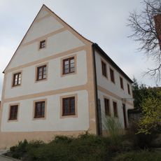
Pfarrhaus Johanneck
1.3 kmVisited this place? Tap the stars to rate it and share your experience / photos with the community! Try now! You can cancel it anytime.
Discover hidden gems everywhere you go!
From secret cafés to breathtaking viewpoints, skip the crowded tourist spots and find places that match your style. Our app makes it easy with voice search, smart filtering, route optimization, and insider tips from travelers worldwide. Download now for the complete mobile experience.

A unique approach to discovering new places❞
— Le Figaro
All the places worth exploring❞
— France Info
A tailor-made excursion in just a few clicks❞
— 20 Minutes