
Kirchdorf an der Amper, municipality of Germany
Location: Freising
Elevation above the sea: 440 m
Shares border with: Wolfersdorf, Zolling, Freising, Kranzberg, Allershausen
Website: https://kirchdorf-amper.de
GPS coordinates: 48.45942,11.65438
Latest update: March 7, 2025 06:07

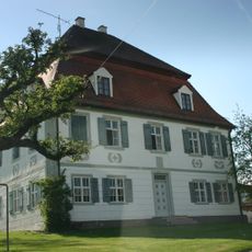
Schloss Aiterbach
3.9 km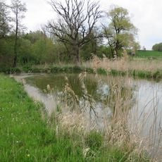
Amperauen mit Altwasser bei Palzing
5.5 km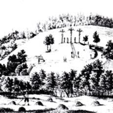
Kalvarienberg
3.8 km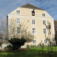
Schloßstraße 6
5.3 km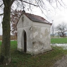
Kapelle (Palzing)
4.2 km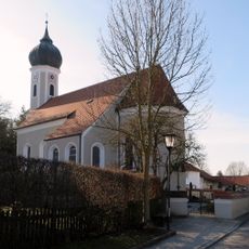
St. Brictius
3.9 km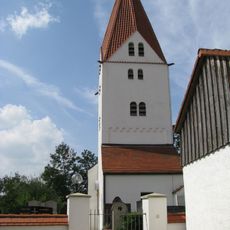
St. Peter und Paul
3.4 km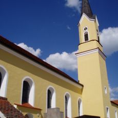
St. Nikolaus
3.1 km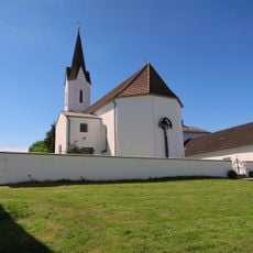
Filialkirche St. Peter und Paul
3.5 km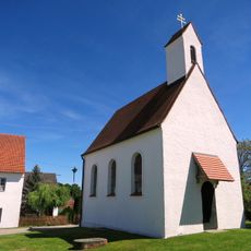
Kapelle St. Magdalena
4.3 km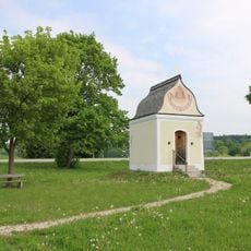
St. Sebald
2 km
Schulhaus (Wippenhausen)
3.1 km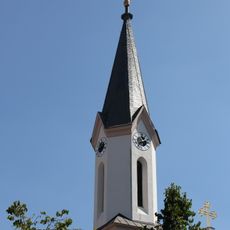
St. Peter's Church
4.7 km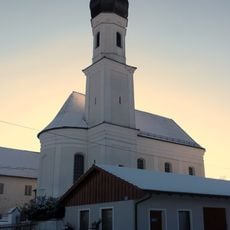
St. Leonhard (Jägersdorf)
3.3 km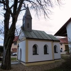
Kapelle (Geierlambach)
3.3 km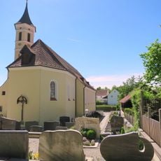
Katholische Pfarrkirche Sankt Joseph
4 km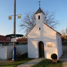
Kapelle Dorfacker
4.2 km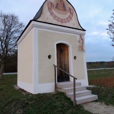
Wegkapelle
1.5 km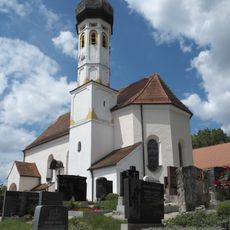
Kirche
3.8 km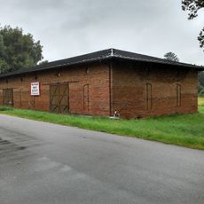
Stadel
3.4 km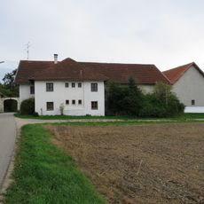
Pettenbrunn 1
5.3 km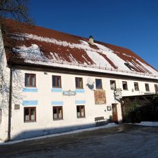
Gasthaus Alter Wirt
4.6 km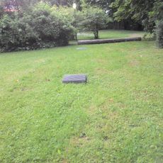
Beer cellars
3.5 km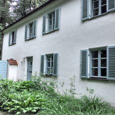
Ehemalige Wohnung des Schlossgeistlichen, sogenanntes Klösterl
3.5 km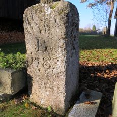
Markstein
5.6 km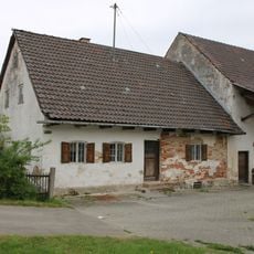
Wohnteil des Dreiseithofes
3.9 km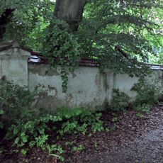
Ehemalige Schlossummauerung
3.5 km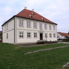
Ehemaliges Pfarrhaus
256 mReviews
Visited this place? Tap the stars to rate it and share your experience / photos with the community! Try now! You can cancel it anytime.
Discover hidden gems everywhere you go!
From secret cafés to breathtaking viewpoints, skip the crowded tourist spots and find places that match your style. Our app makes it easy with voice search, smart filtering, route optimization, and insider tips from travelers worldwide. Download now for the complete mobile experience.

A unique approach to discovering new places❞
— Le Figaro
All the places worth exploring❞
— France Info
A tailor-made excursion in just a few clicks❞
— 20 Minutes