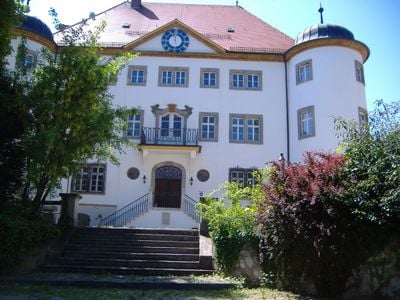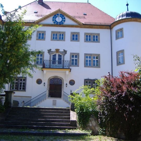
Reimlingen, municipality of Germany
The community of curious travelers
AroundUs brings together thousands of curated places, local tips, and hidden gems, enriched daily by 60,000 contributors worldwide.
Bavarian Railway Museum
4 km
Schloss Reimlingen
173 m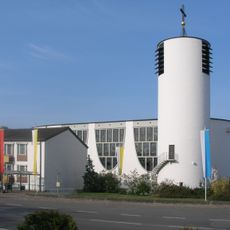
St. Josef
4.2 km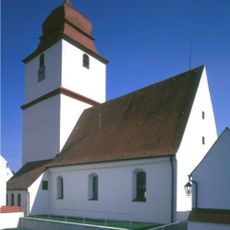
St. Anna
2.2 km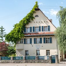
Adamstraße 9
3.8 km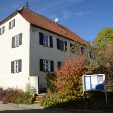
Pfarrhaus
1.2 km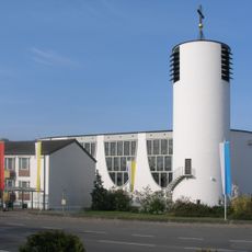
St. Josef
4.2 km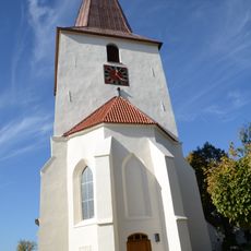
St. Maria
1.2 km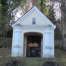
Kapelle Schloßstraße
208 m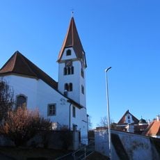
St. Georg (Reimlingen)
97 m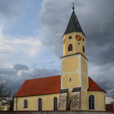
St. Peter und Paul (Grosselfingen)
4 km
Kapelle Kapellenstraße 13
652 m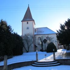
Katholische Filialkirche St. Stephan
902 m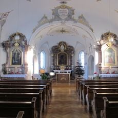
Hauskapelle
282 m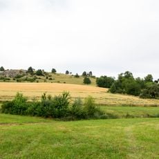
Schmähingen Nord
940 m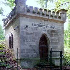
Hochreservoirs Marienhöhe
3.5 km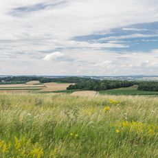
Marienhöhe und Stoffelsberg
3.3 km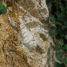
Kristallinbrekzien-Aufschluss an Meyers Keller
3.2 km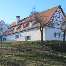
Mariannhillweg 1
178 m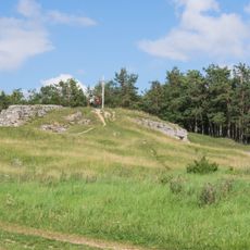
Süßwasserkalk am Adlersberg NW von Reimlingen
1.8 km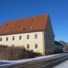
Ehemals Brau- und Gasthaus
1 km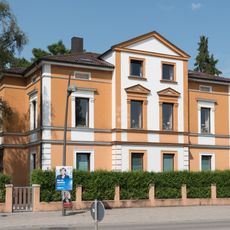
Bürgermeister-Reiger-Straße 18
4 km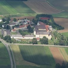
Mausohrkolonien in und am Rand der Schwäbischen Alb
566 m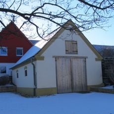
Ehemals Feuerwehrgerätehaus
867 m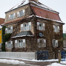
Oskar Meyer Straße
3.7 km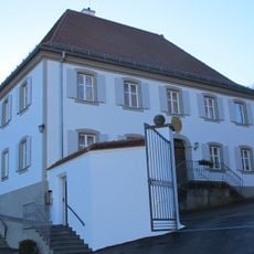
Pfarrhaus (Reimlingen)
110 m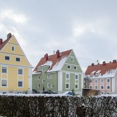
Siehe Liste der Baudenkmäler in Nördlingen#Ensembles; ''nicht nachqualifiziert''
3.5 km
Zeitblomweg 1
3.6 kmDiscover hidden gems everywhere you go!
From secret cafés to breathtaking viewpoints, skip the crowded tourist spots and find places that match your style. Our app makes it easy with voice search, smart filtering, route optimization, and insider tips from travelers worldwide. Download now for the complete mobile experience.

A unique approach to discovering new places❞
— Le Figaro
All the places worth exploring❞
— France Info
A tailor-made excursion in just a few clicks❞
— 20 Minutes
