
Buch, municipality of Germany
Location: Neu-Ulm
Elevation above the sea: 540 m
Part of: Verwaltungsgemeinschaft Buch
Shares border with: Weißenhorn, Roggenburg, Oberroggenburger Wald, Unterroggenburger Wald, Kettershausen, Unterroth, Illertissen
Website: http://vg-buch.de/index.php?id=0,58
GPS coordinates: 48.22528,10.17944
Latest update: March 17, 2025 12:05
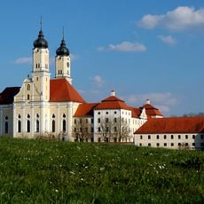
Roggenburg Abbey
6.6 km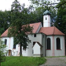
Wallfahrtskirche Zur Schmerzhaften Muttergottes
3.9 km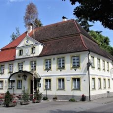
Gasthaus zur blauen Traube
1.4 km
St. Vitus
6.6 km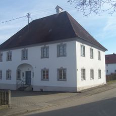
Rectory
3.4 km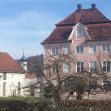
Pfarrhof (Rennertshofen)
4.5 km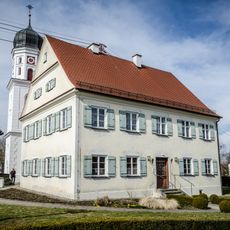
Rectory
3.6 km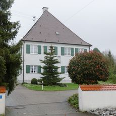
Rectory
1.2 km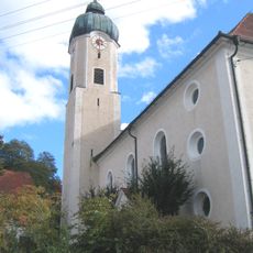
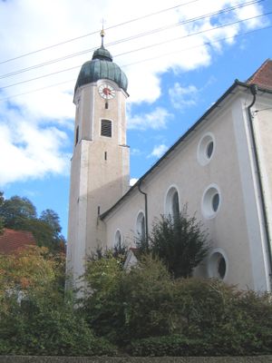
St. Valentin (Buch)
160 m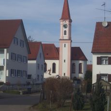
Katholische Filialkirche Sankt Jacobus d. Ä.
2.4 km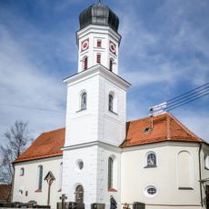
Katholische Pfarrkirche Sankt Mauritius
3.6 km
Pfarrkirche St. Gordian und Epimachus
3.3 km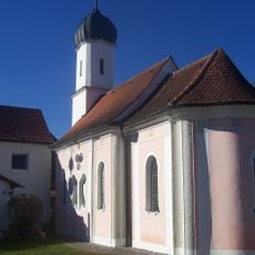
Allerheiligste Dreifaltigkeit (Dietershofen)
2.5 km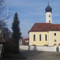
Katholische Pfarrkirche Sankt Georg
3.4 km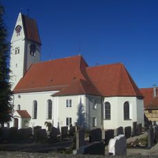
Katholische Pfarrkirche Sankt Martin
1.2 km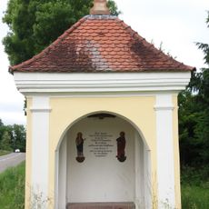
Feldkapelle St. Norbert
6.7 km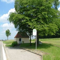
Feldkapelle
4.8 km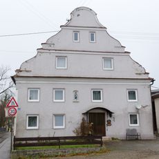
Graf-Moy-Straße 6
1.2 km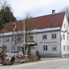
Alte Roggenschenke
6.8 km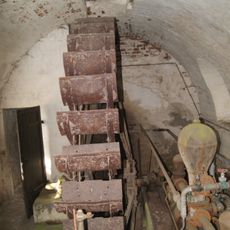
Pumpenhaus des ehemaligen Klosters Roggenburg
6.3 km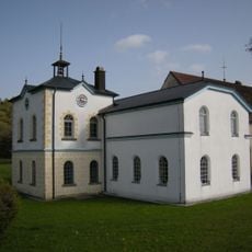
Ehemalige Turmuhrenfabrik
6.1 km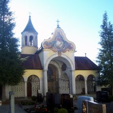
Mausoleum der Grafen Moy des Sons
1.2 km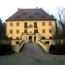
Schloss
1.3 km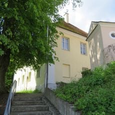
Ehemaliges Pfarrhaus
6.6 km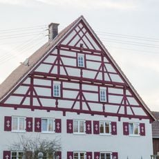
Bauernhaus
3.3 km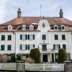
Schloss Roggenburg
6.7 km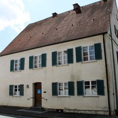
Pfarrhaus
3.3 km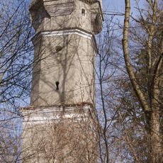
Wasserturm
6.4 kmVisited this place? Tap the stars to rate it and share your experience / photos with the community! Try now! You can cancel it anytime.
Discover hidden gems everywhere you go!
From secret cafés to breathtaking viewpoints, skip the crowded tourist spots and find places that match your style. Our app makes it easy with voice search, smart filtering, route optimization, and insider tips from travelers worldwide. Download now for the complete mobile experience.

A unique approach to discovering new places❞
— Le Figaro
All the places worth exploring❞
— France Info
A tailor-made excursion in just a few clicks❞
— 20 Minutes