
Lamerdingen, municipality of Germany
Location: Ostallgäu
Elevation above the sea: 596 m
Part of: Verwaltungsgemeinschaft Buchloe
Website: https://lamerdingen.de
GPS coordinates: 48.08333,10.73333
Latest update: March 7, 2025 06:09
Schloss Igling
5.8 km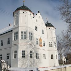
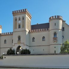
Rudolfshausen castle
5.3 km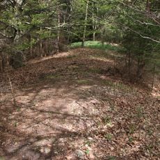
Burgstall Stoffersberg
6.3 km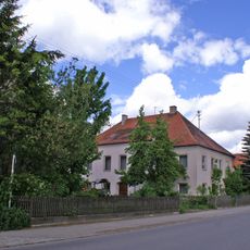
Schloss Lamerdingen
1.1 km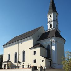
St. Peter und Paul
5.5 km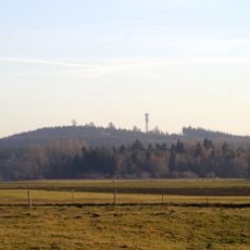
Stoffers Berg
6.3 km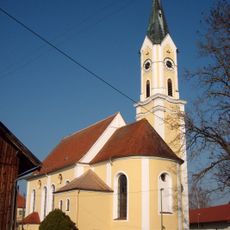
St. Johannes der Täufer
6.1 km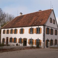
Pfarrhaus
3.9 km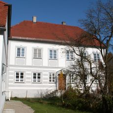
Pfarrhaus (Kleinkitzighofen)
2.5 km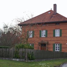
Pfarrhaus
2.7 km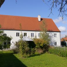
Kirchberg 10 (Schwabmühlhausen)
3.7 km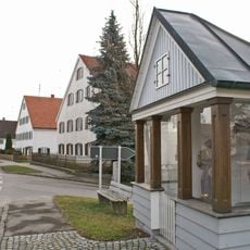
Katholische Kapelle
2.7 km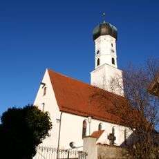
Pfarrkirche St. Stephan
4 km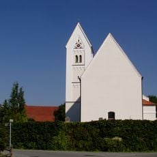
St. Peter und Paul
2.7 km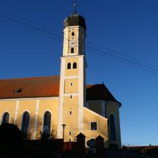
St. Martin
3.7 km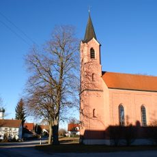
Kapelle Vierzehn Nothelfer
4.1 km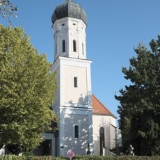
St. Johannes der Täufer und Johannes Evangelist (Holzhausen bei Buchloe)
5.2 km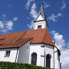
St. Cyprian und Justina
2.4 km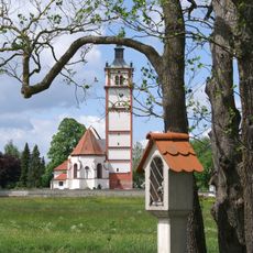
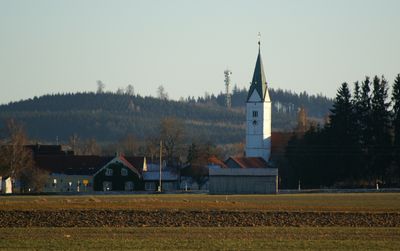
St. Martin (Lamerdingen)
1.3 km
Rindenkapelle
5.2 km
Katholische Kapelle zum Heiligen Kreuz
3.4 km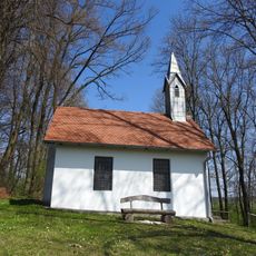
Katholische Kapelle
5.5 km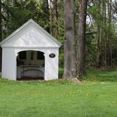
Feldkapelle
5.7 km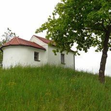
Wegkapelle
2.7 km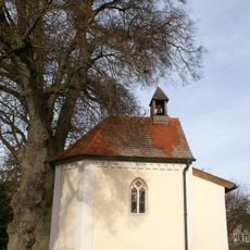
Vitus-Kapelle
2.8 km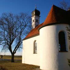
St. Rochus
3.5 km
Wegkapelle
2.7 km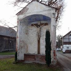
Kapelle
941 mVisited this place? Tap the stars to rate it and share your experience / photos with the community! Try now! You can cancel it anytime.
Discover hidden gems everywhere you go!
From secret cafés to breathtaking viewpoints, skip the crowded tourist spots and find places that match your style. Our app makes it easy with voice search, smart filtering, route optimization, and insider tips from travelers worldwide. Download now for the complete mobile experience.

A unique approach to discovering new places❞
— Le Figaro
All the places worth exploring❞
— France Info
A tailor-made excursion in just a few clicks❞
— 20 Minutes