
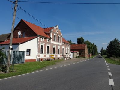
Steinreich, municipality of Germany
Location: Dahme-Spreewald District
Elevation above the sea: 109 m
Website: https://unterspreewald.de/Stadt-und-Gemeinden/Steinreich.htm
GPS coordinates: 51.95000,13.44972
Latest update: April 14, 2025 14:55
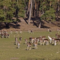
Wildpark Johannismühle
8.8 km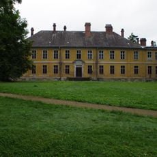
Schloss Golßen
10.6 km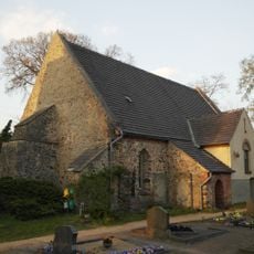
Kirche Altgolßen
8.5 km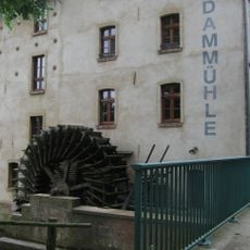
Dammühle Wildau-Wentdorf
8.9 km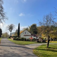
Eichbusch (Steinreich)
6.1 km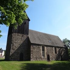
Dorfkirche Kemlitz (Baruth/Mark)
6.9 km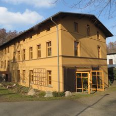
Bachmühle Görsdorf
6 km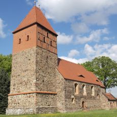
Dorfkirche Wildau-Wentdorf
9.2 km
Liedekahler Wassermühle
6.5 km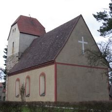
Dorfkirche Prensdorf
5.9 km
Prensdorfer Wassermühle
6.1 km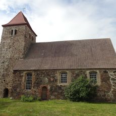
Dorfkirche Falkenhain
10.1 km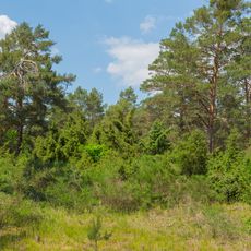
Wacholderschluchten Hohendorf
5.4 km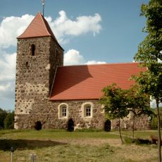
Drahnsdorf village church
9.4 km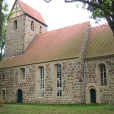
Dorfkirche Groß Ziescht
5 km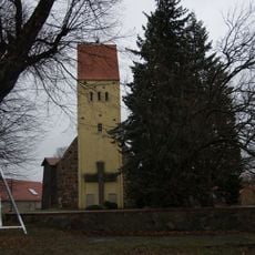
Dorfkirche Merzdorf
6.1 km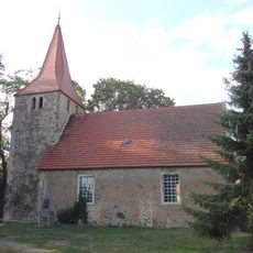
Dorfkirche Zagelsdorf
7.2 km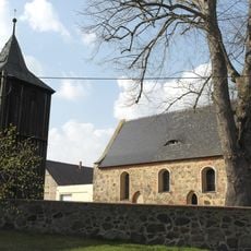
Dorfkirche Liedekahle
6.4 km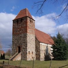
Dorfkirche Schenkendorf
1.6 km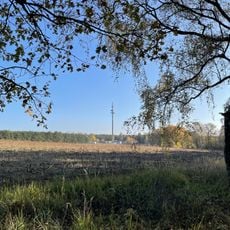
Schönerlinde (Steinreich)
4.9 km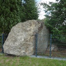
Naturdenkmal Findling
5.7 km
Naturdenkmal Bismarck-Eiche
6.1 km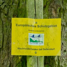
Wacholderheiden bei Sellendorf
4.3 km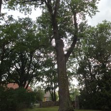
Naturdenkmal Esche an der Kirche
4.9 km
Naturdenkmal Linde
7.3 km
Naturdenkmal Linde an der Kirche
6.1 km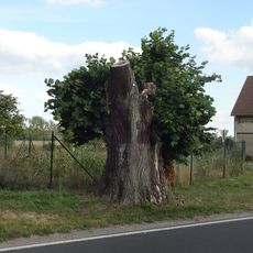
Naturdenkmal Linde
7.4 km
Naturdenkmal Linde
7.2 kmVisited this place? Tap the stars to rate it and share your experience / photos with the community! Try now! You can cancel it anytime.
Discover hidden gems everywhere you go!
From secret cafés to breathtaking viewpoints, skip the crowded tourist spots and find places that match your style. Our app makes it easy with voice search, smart filtering, route optimization, and insider tips from travelers worldwide. Download now for the complete mobile experience.

A unique approach to discovering new places❞
— Le Figaro
All the places worth exploring❞
— France Info
A tailor-made excursion in just a few clicks❞
— 20 Minutes