
Dornick, human settlement in Germany
Location: Emmerich am Rhein
Elevation above the sea: 17 m
GPS coordinates: 51.81222,6.30667
Latest update: March 14, 2025 18:27
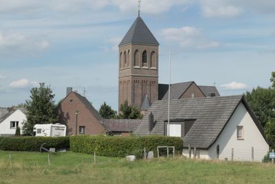
Heilig-Geist-Kirche
4.6 km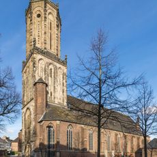
St. Aldegundis
4.7 km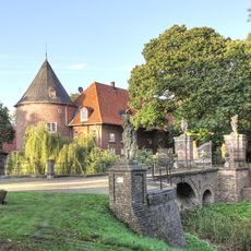
Schloss Hueth
4.6 km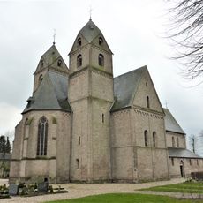
Stiftskirche St. Clemens
4.7 km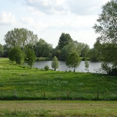
Bienener Altrhein, Millinger Meer, Hurler Meer und Empeler Meer
3.8 km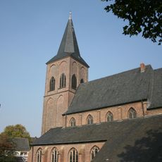
Sankt Peter und Paul
3 km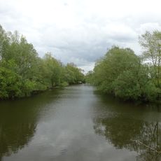
Grietherorter Altrhein
1.8 km
Deichvorland bei Grieth mit Kalflack
1.8 km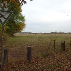
Wisseler Dünen
4.9 km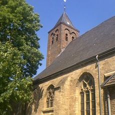
St. Cosmas and Damian
4.5 km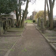
Jüdischer Friedhof
4.6 km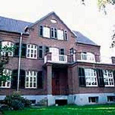
Niederstraße 3
4.3 km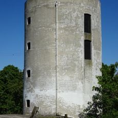
Mühle Rosau
4.2 km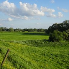
Dornicksche Ward
2.9 km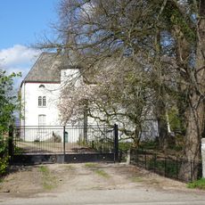
Kemnade Castle
4.3 km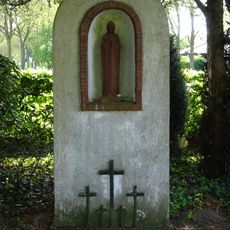
Bienen German military cemetery
4.6 km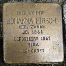
Stolperstein dedicated to Johanna Hirsch
4.7 km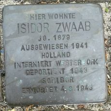
Stolperstein dedicated to Isidor Zwaab
4.8 km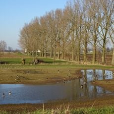
Rheinufer
4.4 km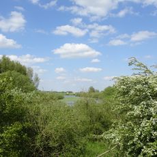
NSG Bienener Altrhein, Millinger u. Hurler Meer u. NSG Empeler M.
4.6 km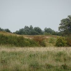
Wisseler Dünen
4.9 km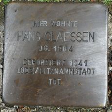
Stolperstein dedicated to Hans Claessen
4.8 km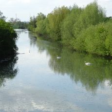
Kalflack
4.1 km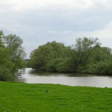
NSG Grietherorter Altrhein
3.1 km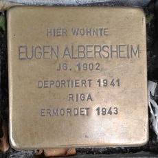
Stolperstein dedicated to Eugen Albersheim
4.7 km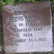
Stolperstein dedicated to Georg Nathan
4.8 km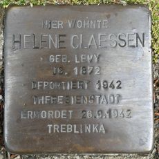
Stolperstein dedicated to Helene Claessen
4.8 km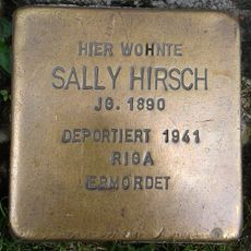
Stolperstein dedicated to Sally Hirsch
4.7 kmReviews
Visited this place? Tap the stars to rate it and share your experience / photos with the community! Try now! You can cancel it anytime.
Discover hidden gems everywhere you go!
From secret cafés to breathtaking viewpoints, skip the crowded tourist spots and find places that match your style. Our app makes it easy with voice search, smart filtering, route optimization, and insider tips from travelers worldwide. Download now for the complete mobile experience.

A unique approach to discovering new places❞
— Le Figaro
All the places worth exploring❞
— France Info
A tailor-made excursion in just a few clicks❞
— 20 Minutes