
Wilhelmshöhe, mountain
Location: Oderwitz
Elevation above the sea: 368 m
GPS coordinates: 50.97233,14.68198
Latest update: March 4, 2025 20:41
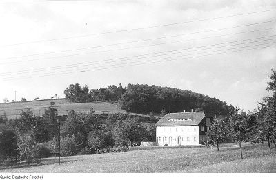
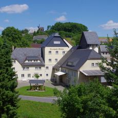
Bertholdmühle Oberoderwitz
298 m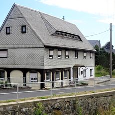
Dorfstraße 19
312 m
Dorfstraße 20
360 m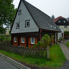
Dorfstraße 41
333 m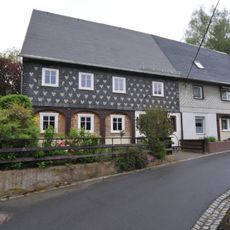
Mühlweg 1; 3
310 m
Dorfstraße 27
274 m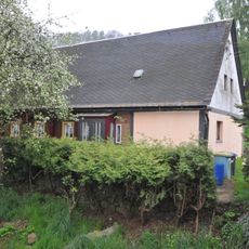
Dorfstraße 24
261 m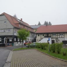
Dorfstraße 35
334 m
Am Wehr 6
354 m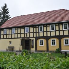
Dorfstraße 23
292 m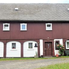
Dorfstraße 22
265 m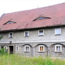
Dorfstraße 21
314 m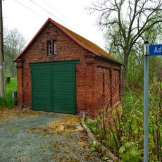
Extinguisher station Adlerberg
351 m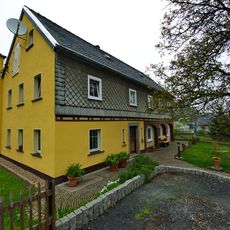
Dorfstraße 45
354 m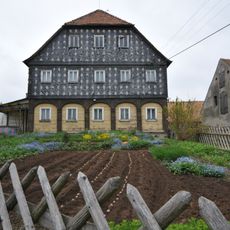
Adlerberg 9; 11
368 m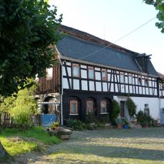
Hauptstraße 3
294 m
Dorfstraße 30
330 m
Dorfstraße 11
343 m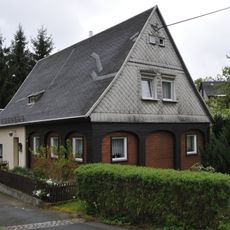
Adlerberg 4
377 m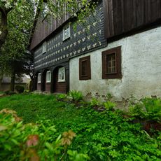
Hauptstraße 5
300 m
Dorfstraße 26
238 m
Dorfstraße 9
373 m
Mühlweg 13
355 m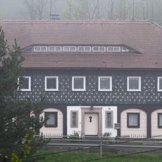
Hauptstraße 18
204 m
Hauptstraße 1
321 m
Mühlweg 7
340 m
Mühlweg 11
331 m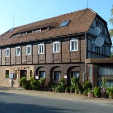
Hauptstraße 13
239 mReviews
Visited this place? Tap the stars to rate it and share your experience / photos with the community! Try now! You can cancel it anytime.
Discover hidden gems everywhere you go!
From secret cafés to breathtaking viewpoints, skip the crowded tourist spots and find places that match your style. Our app makes it easy with voice search, smart filtering, route optimization, and insider tips from travelers worldwide. Download now for the complete mobile experience.

A unique approach to discovering new places❞
— Le Figaro
All the places worth exploring❞
— France Info
A tailor-made excursion in just a few clicks❞
— 20 Minutes