
Mäbendorf, human settlement in Germany
Location: Suhl
Elevation above the sea: 384 m
GPS coordinates: 50.60440,10.62690
Latest update: March 11, 2025 20:19

Congress Centrum Suhl
4.4 km
Waffenmuseum Suhl
4.5 km
Domberg
4.4 km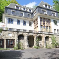
Villa Simson
4.5 km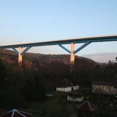
Talbrücke Haseltal
1.2 km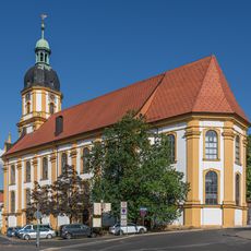
Kreuzkirche Suhl
4.5 km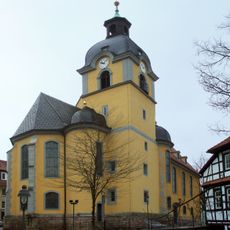
St. Marien (Suhl)
4.8 km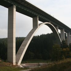
Talbrücke Albrechtsgraben
903 m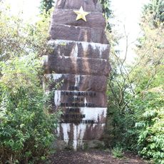
Sowjetisches Ehrenmal
4 km
Rotes Rathaus
4.7 km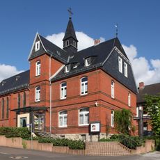
St. Kilian
4.5 km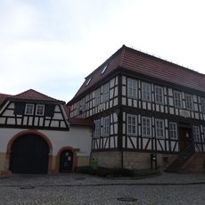
Heimatmuseum Benshausen
4.9 km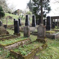
Jüdischer Friedhof Suhl
4.8 km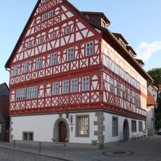
Rathaus Heinrichs
2.1 km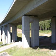
Talbrücke Streitschlag
4.6 km
Jüdischer Friedhof Heinrichs
2.8 km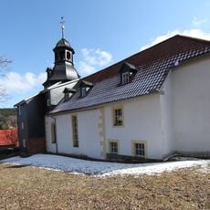
St. Nikolaus
4.8 km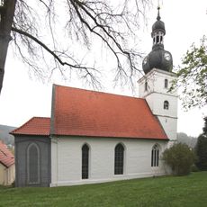
St. Ulrich
2.2 km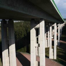
Talbrücke Wiesental
4.7 km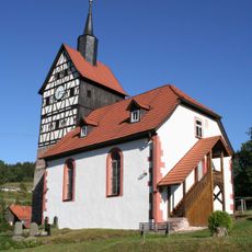
Protestant Church Ebertshausen
4.7 km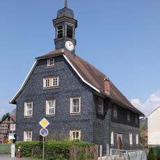
St. Johannes (Dietzhausen)
2.3 km
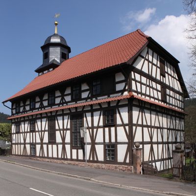
Protestant Church Mäbendorf
49 m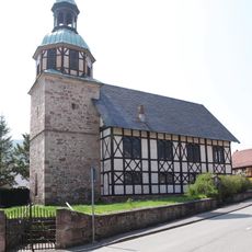
Protestant Church Wichtshausen
3.8 km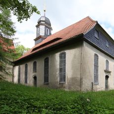
Protestant Church Neundorf
4.4 km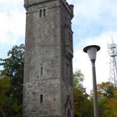
Bismarck Tower
4.4 km
St. Thomas Church Benshausen
5 km
Haus der Wirtschaft
4.4 km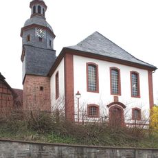
Protestant Church Albrechts
1.8 kmReviews
Visited this place? Tap the stars to rate it and share your experience / photos with the community! Try now! You can cancel it anytime.
Discover hidden gems everywhere you go!
From secret cafés to breathtaking viewpoints, skip the crowded tourist spots and find places that match your style. Our app makes it easy with voice search, smart filtering, route optimization, and insider tips from travelers worldwide. Download now for the complete mobile experience.

A unique approach to discovering new places❞
— Le Figaro
All the places worth exploring❞
— France Info
A tailor-made excursion in just a few clicks❞
— 20 Minutes