
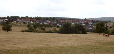
Momart, municipal district of Bad König in Odenwaldkreis, Germany
Location: Bad König
Elevation above the sea: 321 m
GPS coordinates: 49.72560,9.01139
Latest update: April 26, 2025 01:51
Einhardsbasilika
4.4 km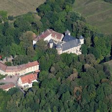
Schloss Fürstenau
5 km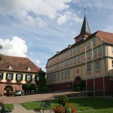
Schloss Bad König
1.8 km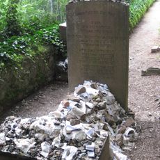
Jüdischer Friedhof Michelstadt
4.5 km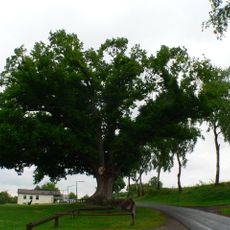
Momarter Eiche
842 m
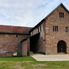
Burg Kirchbrombach
4.4 km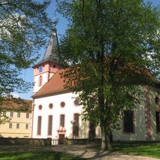
Evangelische Kirche Bad König
1.8 km
Naturschutzgebiet Bruch von Bad König und Etzen-Gesäß
2.9 km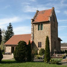
Friedhofskapelle
4.5 km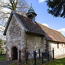
Friedhofskapelle mit Friedhof und Judenfriedhof
1.7 km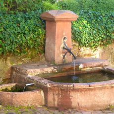
Laufbrunnen
4.4 km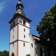
Evangelische Kirche Kirchbrombach
4.4 km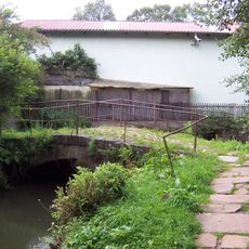
Totensteg und Steinbachbrücke
4.4 km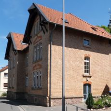
Ehemalige Schule
4.5 km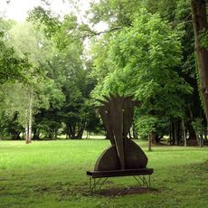
Steinbacher Teich und Fürstenauer Park
4.1 km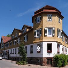
Gasthaus „Zur Krone“
1.4 km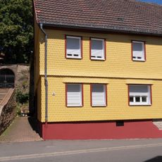
Hauptstraße 30
4.4 km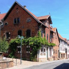
Hauptstraße 20
4.4 km
Bahnhof
4.6 km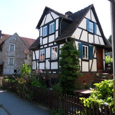
Einhardstraße 108
4.4 km
Einhardstraße 112
4.4 km
Ehemaliges Rathaus und Rentamt
1.8 km
Schloßplatz 3
4.4 km
Sachteil: Mauereinfriedung
4.4 km
Schloßstraße 17
4.4 km
Gasthaus „Zum Hirsch“
1.9 km
Hauptstraße 9
4.4 km
Schloßstraße 24
4.4 kmReviews
Visited this place? Tap the stars to rate it and share your experience / photos with the community! Try now! You can cancel it anytime.
Discover hidden gems everywhere you go!
From secret cafés to breathtaking viewpoints, skip the crowded tourist spots and find places that match your style. Our app makes it easy with voice search, smart filtering, route optimization, and insider tips from travelers worldwide. Download now for the complete mobile experience.

A unique approach to discovering new places❞
— Le Figaro
All the places worth exploring❞
— France Info
A tailor-made excursion in just a few clicks❞
— 20 Minutes