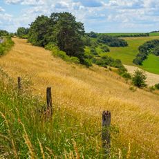
Auerbacher Berg, hill in Germany
Location: Rhineland-Palatinate
GPS coordinates: 49.28911,7.49103
Latest update: November 22, 2025 18:20
Auf der Pottschütthöhe
3.1 km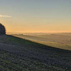
Battweiler Höhe
1.5 km
Auf dem Hausgiebel
3 km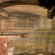
Kriegerdenkmal (Winterbach)
2.1 km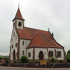
Evangelische Kirche (Battweiler)
2.5 km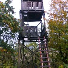
Aussichtsturm Schmitshausen
1.8 km
Battweiler-Höhe
1.5 km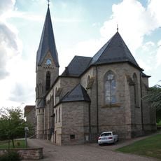
St. Antonius (Massweiler)
3.2 km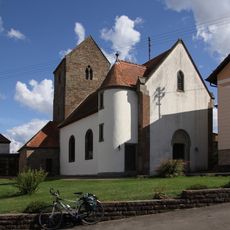
Protestant church
3.4 km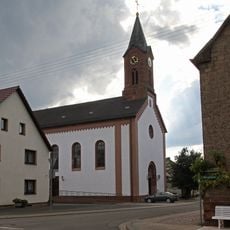
St. Wendelin (Reifenberg)
1.4 km
Wohnplatz Steinzeitmenschen
2.6 km
Memorial
2.2 km
Work of art
2.5 km
Wayside cross
2.9 km
Katzenfels
819 m
Catholic church building, wayside cross, Christianity
1.6 km
Pferdsbrunnen
2.2 km
Memorial
2.1 km
Wayside cross
2.5 km
EDRP Spotterpoint
2.9 km
Memorial
2.5 km
Memorial
2.5 km
Wayside cross
3 km
Memorial
2.1 km
Memorial
3.3 km
Memorial
3.3 km
Waterfall
3.4 km
Kleiner Wasserfall
1.5 kmReviews
Visited this place? Tap the stars to rate it and share your experience / photos with the community! Try now! You can cancel it anytime.
Discover hidden gems everywhere you go!
From secret cafés to breathtaking viewpoints, skip the crowded tourist spots and find places that match your style. Our app makes it easy with voice search, smart filtering, route optimization, and insider tips from travelers worldwide. Download now for the complete mobile experience.

A unique approach to discovering new places❞
— Le Figaro
All the places worth exploring❞
— France Info
A tailor-made excursion in just a few clicks❞
— 20 Minutes