Löh-Kopf, Berg in Nordrhein-Westfalen
Location: North Rhine-Westphalia
GPS coordinates: 50.95003,7.83918
Latest update: November 24, 2023 23:43
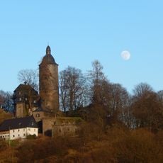
Burg Wildenburg
4.2 km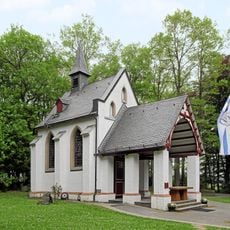
Kapelle Dörnschlade mit Klause
3.8 km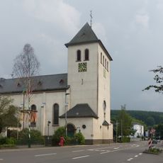
St. Antonius Einsiedler
4.1 km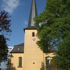
St. Severin (Wenden)
3.2 km
St. Kunibertus
3.9 km
Biggetal
1.6 km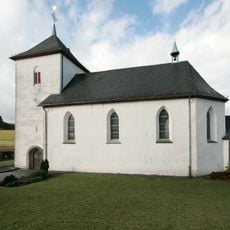
St. Marien
2 km
Biggequellgebiet
2.7 km
Steinkuhle und Hillmickebach
4.5 km
Biggequellgebiet
2.1 km
Großmicketal
1.6 km
Dermicketal
692 m
Benze und Binsenbach
3.3 km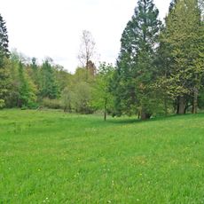
Gambach Valley
4.1 km
Reh-Berg
2.3 km
Magerwiesen bei Hohenhein
4.2 km
Balzen-Berg
4.5 km
Wayside cross
3.7 km
Eisenverhüttungsplatz aus dem 7./8. Jh.
3.8 km
250 Jahre Wendener Hütte
2.4 km
Wayside cross
3.7 km
Sanct Huberto
1.6 km
5-Finger XL-Fichte
3.1 km
Wayside cross
1.9 km
Wayside cross
4.2 km
Wayside cross
3.4 km
Wayside cross
1.9 km
Golfclub Siegen-Olpe e.V.
1.8 kmReviews
Visited this place? Tap the stars to rate it and share your experience / photos with the community! Try now! You can cancel it anytime.
Discover hidden gems everywhere you go!
From secret cafés to breathtaking viewpoints, skip the crowded tourist spots and find places that match your style. Our app makes it easy with voice search, smart filtering, route optimization, and insider tips from travelers worldwide. Download now for the complete mobile experience.

A unique approach to discovering new places❞
— Le Figaro
All the places worth exploring❞
— France Info
A tailor-made excursion in just a few clicks❞
— 20 Minutes