
Stadtprozelten, Ortsteil of Stadtprozelten
Location: Stadtprozelten
Elevation above the sea: 215 m
Shares border with: Neuenbuch, Hoher Berg, Breitenbrunn, Faulbach, Mondfeld, Dorfprozelten, Wildensee
GPS coordinates: 49.78395,9.40402
Latest update: April 10, 2025 03:33
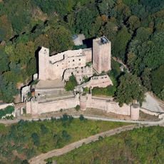
Henneburg
799 m
Sandstein Spessart
1.2 km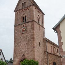
Pfarrkirche
1.8 km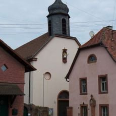
St. Martin
921 m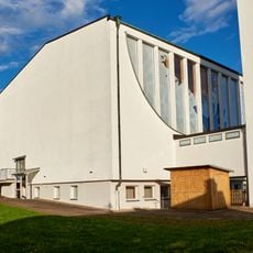
Kirche
2.7 km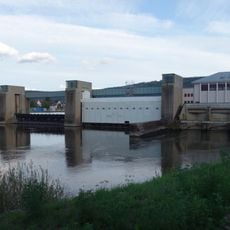
Faulbach barrage and locks
2.6 km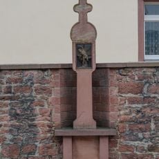
Bildstock
1.8 km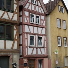
Wohnhaus
877 m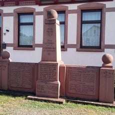
Kriegerdenkmal
1.1 km
Wohnhaus
870 m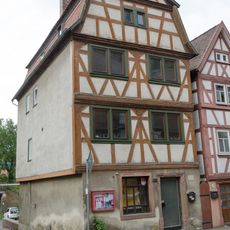
Wohnhaus
881 m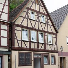
Wohnhaus
759 m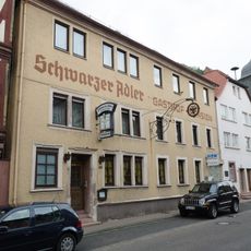
Gasthaus
838 m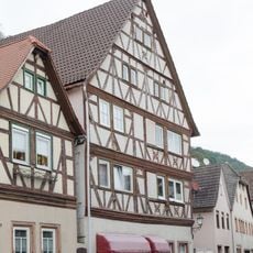
Wohnhaus
785 m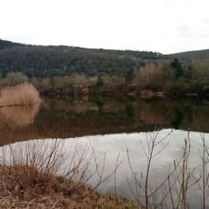
Badesee Mondfeld
1.7 km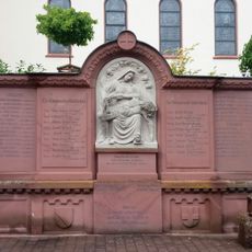
Kriegerdenkmal
2.2 km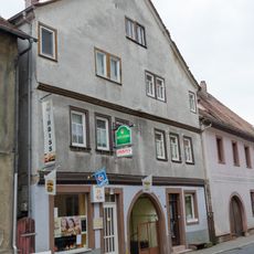
Doppelhaus
854 m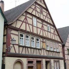
Wohnhaus
744 m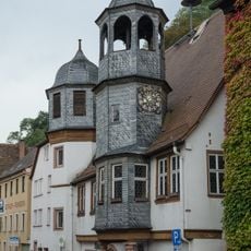
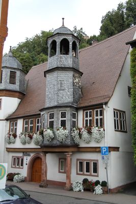
Rathaus
866 m
Pfarrhaus
1.8 km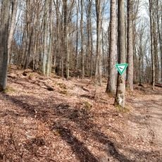
Hoher Stein Stadter Wald I/1
2.5 km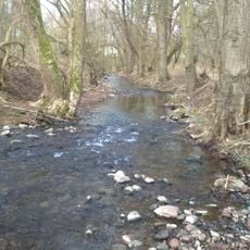
Baumbestand u.Ufervegetation am Wildbach Steinigwiesen/Mühlwiesen
1.3 km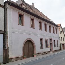
Wohnhaus
839 m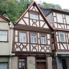
Wohnhaus
739 m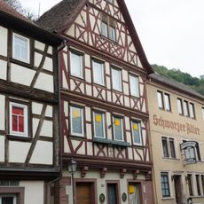
Wohnhaus
828 m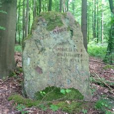
Gedenkstein Munitionsunglück 10. Juni 1945 Mondfeld
1.8 km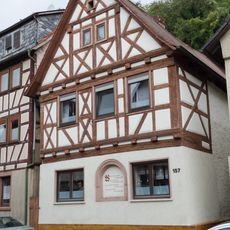
Wohnhaus
950 m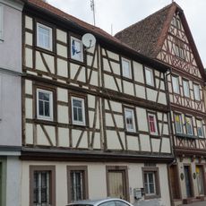
Wohnhaus
821 mReviews
Visited this place? Tap the stars to rate it and share your experience / photos with the community! Try now! You can cancel it anytime.
Discover hidden gems everywhere you go!
From secret cafés to breathtaking viewpoints, skip the crowded tourist spots and find places that match your style. Our app makes it easy with voice search, smart filtering, route optimization, and insider tips from travelers worldwide. Download now for the complete mobile experience.

A unique approach to discovering new places❞
— Le Figaro
All the places worth exploring❞
— France Info
A tailor-made excursion in just a few clicks❞
— 20 Minutes