
Wegkreuz, holz, 1916, mit Kriegergedenktafel 1914/18 und 1939/45, 1951
Location: Buch am Erlbach
Address: Buchner Feld
GPS coordinates: 48.43134,12.07292
Latest update: July 23, 2025 12:25
Schulhaus
3.1 km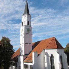
Sankt Peter und Paul
3.1 km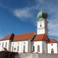
St. Urban und Nikolaus
3.1 km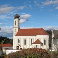
St. Lambertus
4.1 km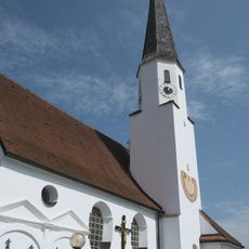
St. Martin (Niederstraubing)
4.5 km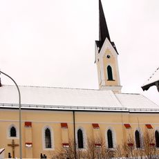
St. Margaretha (Pfrombach)
5.3 km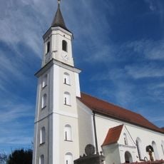
St. Michael (Thann)
2.2 km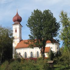
St. Peter und Paul (Kirchberg, Oberbayern)
3.3 km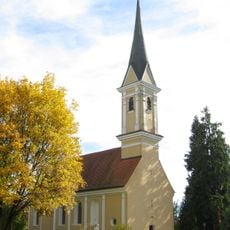
St. Gregor
2.4 km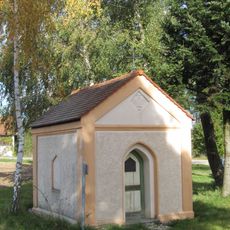
Hofkapelle mit Lourdesgrotte
4.9 km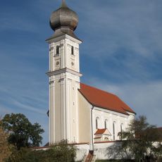
Katholische Pfarrkirche St. Vitus
2 km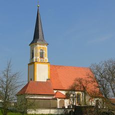
Katholische Kirche Katharina von Alexandrien mit Mauer
5.1 km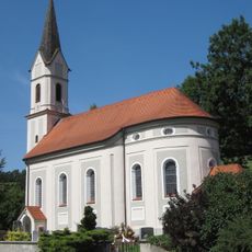
Katholische Filialkirche Kreuzerhöhung
5.2 km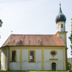
Filialkirche Leonhard von Limoges
2.6 km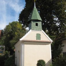
Kapelle
4.3 km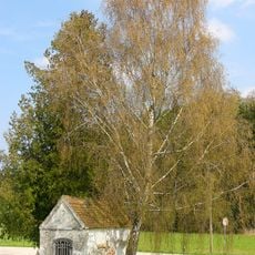
Kapelle Maria, Hilfe der Christen
5.4 km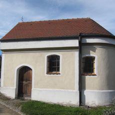
Dorfkapelle
2.4 km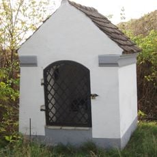
Feldkapelle
4.4 km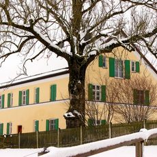
Wohnhaus des ehemaligen Pfrombacher Ökonomiepfarrhofs
4.8 km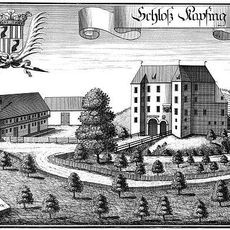
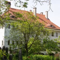
Schloss Kapfing
3.6 km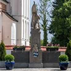
Kriegerdenkmal der Weltkriege 1914–18 und 1939–45
3.2 km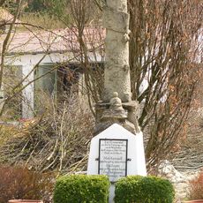
Kriegerdenkmal für die Gefallenen von 1870/71
3.5 km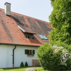
Wohnstallhaus
2.1 km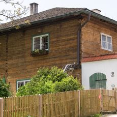
Ehemaliges Gasthaus
3.7 km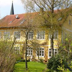
Ehemaliges Schulhaus
3 km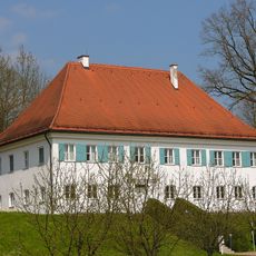
Pfarrhof, Pfarrhaus und Nebengebäude
3.1 km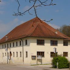
Gasthaus
3.2 km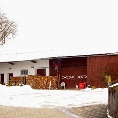
Wohnstallhaus
5.1 kmReviews
Visited this place? Tap the stars to rate it and share your experience / photos with the community! Try now! You can cancel it anytime.
Discover hidden gems everywhere you go!
From secret cafés to breathtaking viewpoints, skip the crowded tourist spots and find places that match your style. Our app makes it easy with voice search, smart filtering, route optimization, and insider tips from travelers worldwide. Download now for the complete mobile experience.

A unique approach to discovering new places❞
— Le Figaro
All the places worth exploring❞
— France Info
A tailor-made excursion in just a few clicks❞
— 20 Minutes