
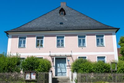
Pfarrhof, wohngebäude, zweigeschossiger Satteldachbau mit Zeltdach und Putzgliederung, 1752–53
Location: Vilsbiburg
Address: Dorfstraße 45
GPS coordinates: 48.48204,12.33933
Latest update: March 31, 2025 02:30
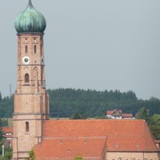
Stadtpfarrkirche Mariä Himmelfahrt
3.6 km
Pfarrkirche Maria Immaculata
1.9 km
Schloss Seyboldsdorf
186 m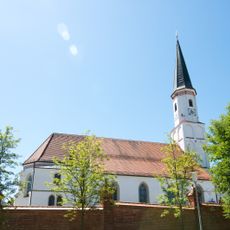
St. Johann
90 m
St. Margaretha
2.6 km
Cultural heritage D-2-7540-0073 in Vilsbiburg
3.8 km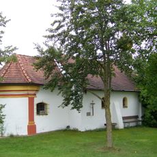
Katholische Kirche Florian von Lorch
2.6 km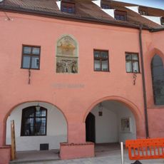
Spitalkirche
3.8 km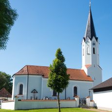
Katholische Kirche Stephanus mit Mauer
1.4 km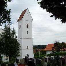
St. Nikolaus
2.9 km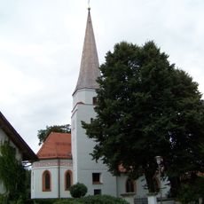
Katholische Kirche Stephanus mit Mauer
3.7 km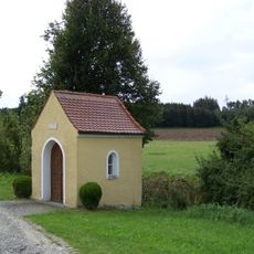
Kapelle
2.7 km
Wegkapelle
2.4 km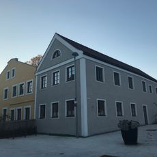
Kirchenweg 1
3.6 km
Mühle mit Nebengebäude
3.7 km
Landshuter Straße 32
3.6 km
Obere Stadt 25
3.7 km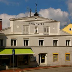
Obere Stadt 33
3.7 km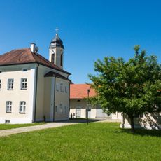
Pfarrhof mit Stadel, Backhaus und Brunnen
1.9 km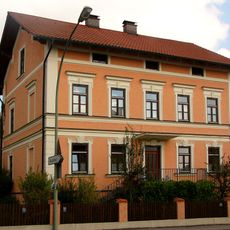
Landshuter Straße 18
3.7 km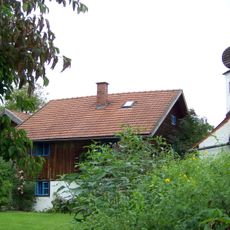
Mesnerhaus
2.6 km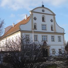
Pfarrhof
3.5 km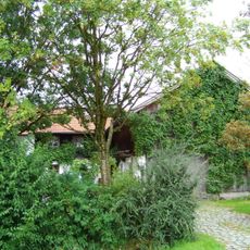
Bauernhaus eines Hakenhofs
2.2 km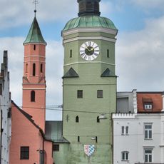
Oberes Tor
3.8 km
Stadtplatz 1
3.8 km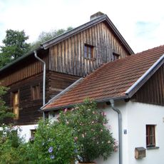
Ehemalige Mühle
3.1 km
Ensemble Obere Stadt Vilsbiburg
3.8 km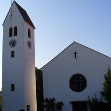
St. Nikolaus
2.9 kmReviews
Visited this place? Tap the stars to rate it and share your experience / photos with the community! Try now! You can cancel it anytime.
Discover hidden gems everywhere you go!
From secret cafés to breathtaking viewpoints, skip the crowded tourist spots and find places that match your style. Our app makes it easy with voice search, smart filtering, route optimization, and insider tips from travelers worldwide. Download now for the complete mobile experience.

A unique approach to discovering new places❞
— Le Figaro
All the places worth exploring❞
— France Info
A tailor-made excursion in just a few clicks❞
— 20 Minutes