
Bundwerkstadel, mit reichem Gitterwerk (Südflügel des Vierseithofes), drittes Viertel 19. Jahrhundert; Stallstadel mit Gewölbe und Bundwerk (Ostflügel), etwa gleichzeitig; Getreidekasten im Obergeschoss der ehemaligen Hütte (Westflügel), etwa gleichzeitig
Location: Taching am See
Address: Am Anger 20
GPS coordinates: 47.96430,12.72735
Latest update: March 29, 2025 11:09
St. Martin (Waging am See)
3.4 km
Burg Taching
366 m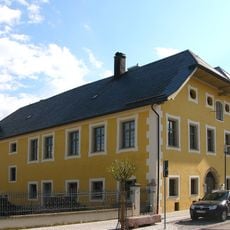
Category:Bahnhofstraße 17 (Waging am See)
3.6 km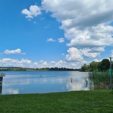
Strandbad Seeteufel
2.1 km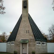
Simeonskirche
3.6 km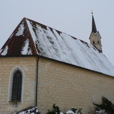
St. Coloman
3.4 km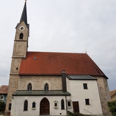
St. Laurentius
3.4 km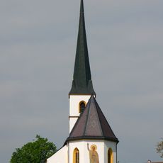
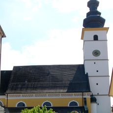
St. Petrus (Taching am See)
278 m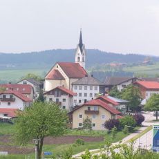
St. Florian
2.3 km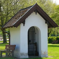
Pestkapelle
3.6 km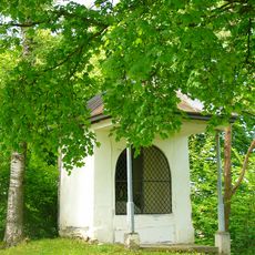
Flurkapelle
3 km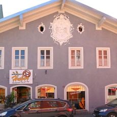
Marktplatz 11
3.5 km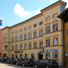
Salzburger Straße 2, 4
3.5 km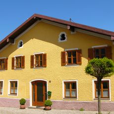
Wilhelm-Scharnow-Straße 3
3.5 km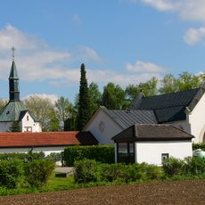
Friedhof
3.6 km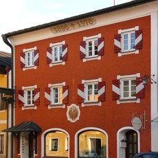
Wilhelm-Scharnow-Straße 6
3.6 km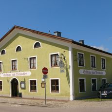
Salzburger Straße 23
3.4 km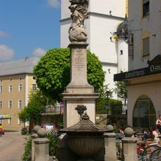
Mariensäule
3.4 km
Wilhelm-Scharnow-Straße 10
3.6 km
Wilhelm-Scharnow-Straße 8
3.6 km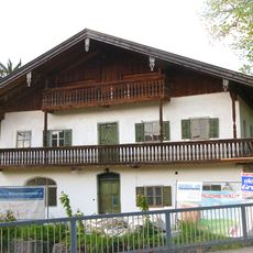
Seestraße 35
3.2 km
Seestraße 17
3.4 km
Seestraße 15
3.4 km
Seestraße 10
3.3 km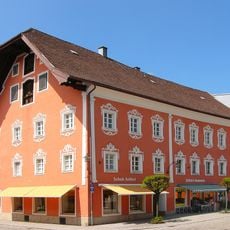
Marktplatz 8
3.5 km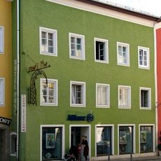
Seestraße 1
3.4 km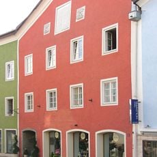
Seestraße 3
3.4 km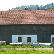
Bundwerkstadel
998 mReviews
Visited this place? Tap the stars to rate it and share your experience / photos with the community! Try now! You can cancel it anytime.
Discover hidden gems everywhere you go!
From secret cafés to breathtaking viewpoints, skip the crowded tourist spots and find places that match your style. Our app makes it easy with voice search, smart filtering, route optimization, and insider tips from travelers worldwide. Download now for the complete mobile experience.

A unique approach to discovering new places❞
— Le Figaro
All the places worth exploring❞
— France Info
A tailor-made excursion in just a few clicks❞
— 20 Minutes