
Oberpilsenhof, irlberg; Bauernhaus mit Schopfwalmdach, steinernes Türgewände bezeichnet mit dem Jahr „1847“, darüber Wandbild
Location: Anger
Address: Pilzenberg 26
GPS coordinates: 47.79837,12.85013
Latest update: November 24, 2023 23:44
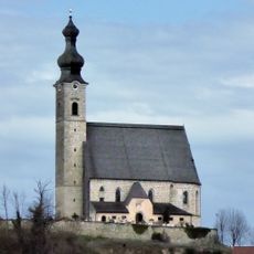
Pfarrkirche Mariä Himmelfahrt (Anger, Berchtesgadener Land)
716 m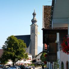
Katholische Pfarrkirche St. Mariä Himmelfahrt
712 m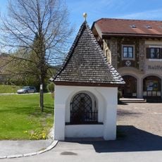
Kapelle
857 m
Friedhof Dorfplatz 1 in Anger (Berchtesgadener Land)
707 m
Türgewände
841 m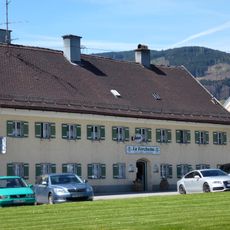
Gasthaus Metzgerwirt
727 m
Kriegerdenkmal Nähe Dorfplatz in Anger (Berchtesgadener Land)
677 m
Bauernhaus
839 m
Cultural heritage D-1-8143-0205 in Anger (Berchtesgadener Land)
708 m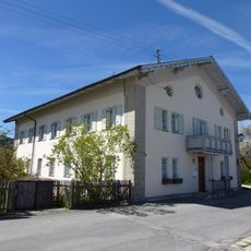
Pfarrhof
746 m
Cultural heritage D-1-8143-0206 in Anger (Berchtesgadener Land)
710 m
Bildstock
542 m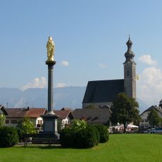
Mariensäule
765 m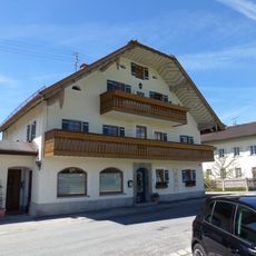
Wohnhaus
735 m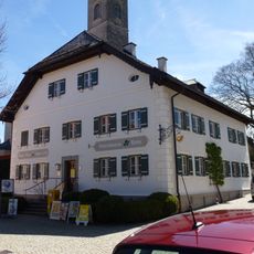
Ehemaliges Mesnerhaus
694 m
Wohnhaus
791 m
Bauernhaus
510 m
Bauernhaus
757 m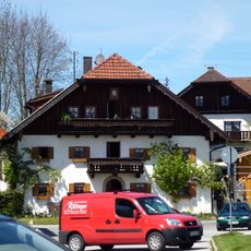
Wohnhaus
764 m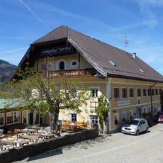
Gasthaus Post
682 m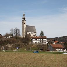
'''Ensemble Ortskern Anger'''
765 m
Bauernhaus
742 m
Wohnhaus
795 m
Obermühle
798 m
Figuren
815 m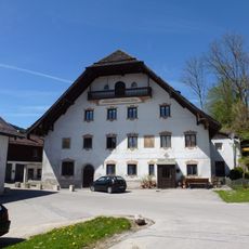
Pfaffendorfer Mühle
679 m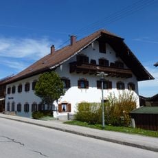
Wohnhaus
842 m
Friedhofsmauer Dorfplatz 1 in Anger (Berchtesgadener Land)
708 mReviews
Visited this place? Tap the stars to rate it and share your experience / photos with the community! Try now! You can cancel it anytime.
Discover hidden gems everywhere you go!
From secret cafés to breathtaking viewpoints, skip the crowded tourist spots and find places that match your style. Our app makes it easy with voice search, smart filtering, route optimization, and insider tips from travelers worldwide. Download now for the complete mobile experience.

A unique approach to discovering new places❞
— Le Figaro
All the places worth exploring❞
— France Info
A tailor-made excursion in just a few clicks❞
— 20 Minutes