
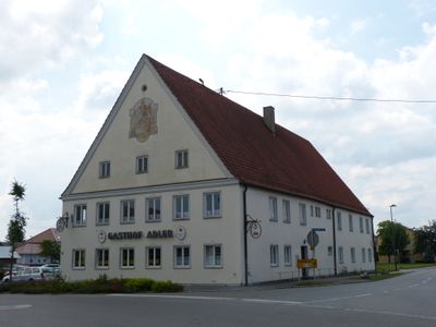
Gasthaus, zweigeschossiger Giebelbau mit Steilsatteldach und Gesimsgliederung, im Kern 18. Jahrhundert; Stadel, gemauerter Satteldachbau mit zwei stichbogigen Toren, bezeichnet 1784
Location: Ettringen
Address: Türkheimer Straße 2
GPS coordinates: 48.10384,10.65212
Latest update: September 27, 2025 12:11
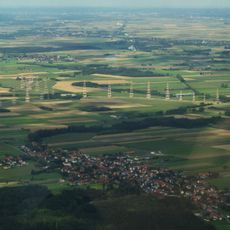
Wertachtal transmitter site
3.7 km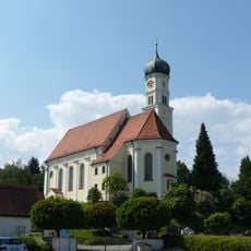
St. Georg
4.8 km
Burgstall Siebnach
3.4 km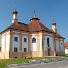
St. Antonius von Padua (Schnerzhofen)
4.4 km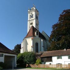
Mariä Himmelfahrt (Türkheim)
4.6 km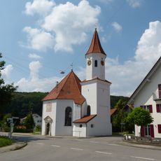
St. Anna
3.3 km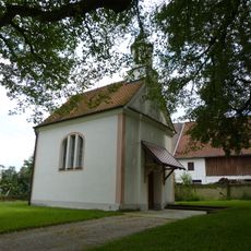
St. Wendelin
2.3 km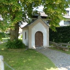
Baindl-Kapelle
1.1 km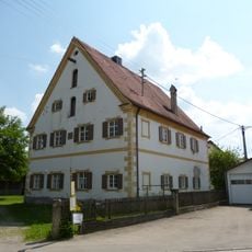
Pfarrhof
3.2 km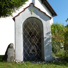
Geißelheiland
4.8 km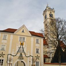
Torbau zu Mariä Himmelfahrt
4.7 km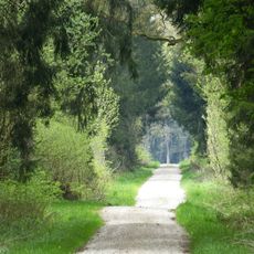
Augsburg - Westliche Wälder
3.1 km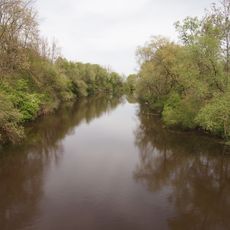
Wertachauen im Landkreis Unterallgäu
2.6 km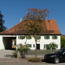
Kirchenstraße 9
4.6 km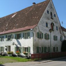
Kirchenstraße 10
4.7 km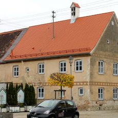
Maximilian-Philipp-Straße 5
4.7 km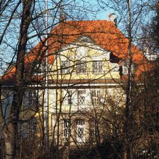
Villa
1.2 km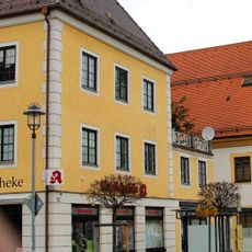
Maximilian-Philipp-Straße 16
4.7 km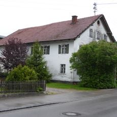
Bauernhaus
254 m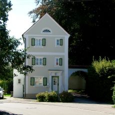
Johann-Georg-Bergmiller-Straße 11
4.6 km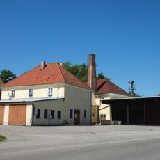
Ehemalige Brauerei
1.5 km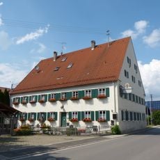
Gasthof zum Mohren
3.4 km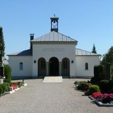
Aussegnungshalle
4.3 km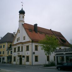
Ehemals Rathaus
4.7 km
Gutshof
1.5 km
Ehemals Gasthaus zum Adler
4.7 km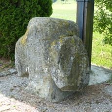
Steinkreuz
3.9 km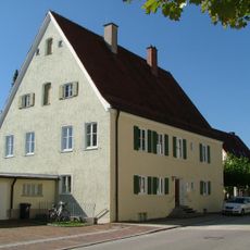
Ehemals Pfarrhof
4.7 kmReviews
Visited this place? Tap the stars to rate it and share your experience / photos with the community! Try now! You can cancel it anytime.
Discover hidden gems everywhere you go!
From secret cafés to breathtaking viewpoints, skip the crowded tourist spots and find places that match your style. Our app makes it easy with voice search, smart filtering, route optimization, and insider tips from travelers worldwide. Download now for the complete mobile experience.

A unique approach to discovering new places❞
— Le Figaro
All the places worth exploring❞
— France Info
A tailor-made excursion in just a few clicks❞
— 20 Minutes