
Steinkreuz, errichtet nach 1633;
Location: Oberostendorf
Address: am nördlichen Ortsende - Waldweg Ecke Hörmannstr.
GPS coordinates: 47.95398,10.71486
Latest update: March 20, 2025 03:59

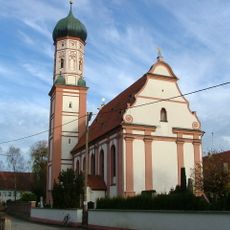
Mariä Himmelfahrt
2.4 km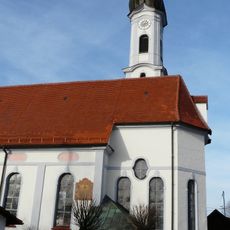
St. Stephan (Unterostendorf)
1.2 km
Pfarrhaus (Eurishofen)
2.5 km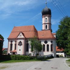
St. Jakobus
1.6 km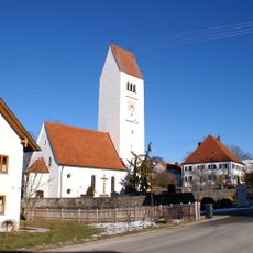
St. Dionysius
2.5 km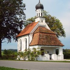
Dreifaltigkeitskapelle
849 m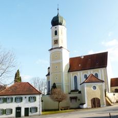
Sankt Margareta
375 m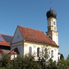
Filialkirche St. Nikolaus
987 m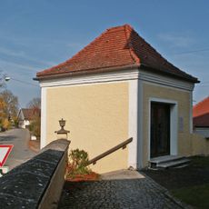
Friedhofskapelle
362 m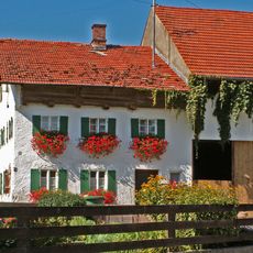
Bauernhaus
24 m
Bauernhaus
2.4 km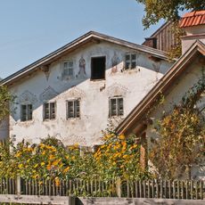
Bauernhaus
1.6 km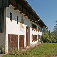
Bauernhaus
205 m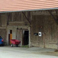
Stadel
152 m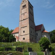
St. Georg
2.5 km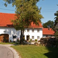
Bauernhaus
43 m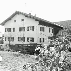
Bauernhaus
1.3 km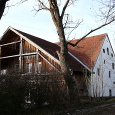
Stadel
1.3 km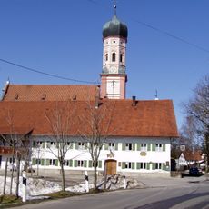
Gasthof Adler
2.4 km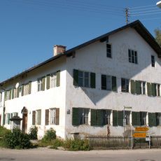
Pfarrhaus
336 m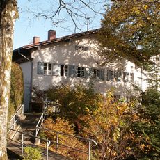
Ehem. Benefiziatenhaus
2.4 km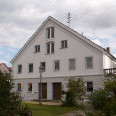
Mühle
2.4 km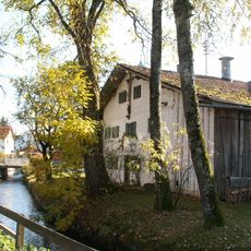
Bauernhaus
2.3 km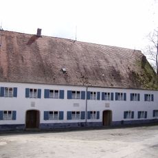
Mühle
477 m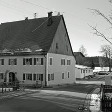
Gasthaus
2.4 km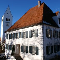
Pfarrhaus
2.5 km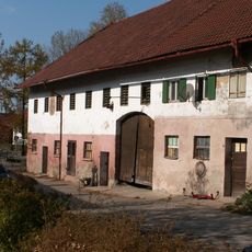
Gasthaus
2.1 km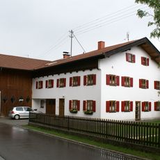
Bauernhaus
1.7 kmReviews
Visited this place? Tap the stars to rate it and share your experience / photos with the community! Try now! You can cancel it anytime.
Discover hidden gems everywhere you go!
From secret cafés to breathtaking viewpoints, skip the crowded tourist spots and find places that match your style. Our app makes it easy with voice search, smart filtering, route optimization, and insider tips from travelers worldwide. Download now for the complete mobile experience.

A unique approach to discovering new places❞
— Le Figaro
All the places worth exploring❞
— France Info
A tailor-made excursion in just a few clicks❞
— 20 Minutes