
Sühnekreuz, tuffstein, 15./16. Jahrhundert; an der Straße nach Heising
Location: Dietmannsried
Address: Steinriesel
GPS coordinates: 47.80519,10.30057
Latest update: March 6, 2025 07:41


Gästeinformation Dietmannsried
884 m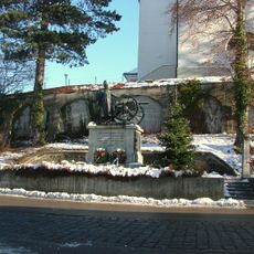
Kriegerdenkmal
3.5 km
St. Michael
2.2 km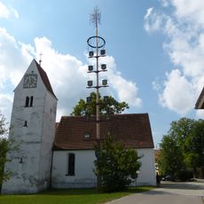
St. Johannes der Täufer (Überbach)
947 m
St. Cornelius und Cyprian
2.5 km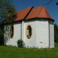
St. Magnus (Gemeinderied)
2.2 km
Ehemaliger Gasthof Schwanen
872 m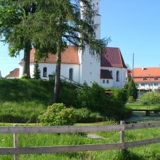
Burg Dietmannsried
799 m
Pfarrhaus (Probstried)
2.5 km
Pfarrhaus
866 m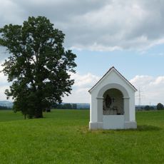
St. Joseph (Probstried)
2.2 km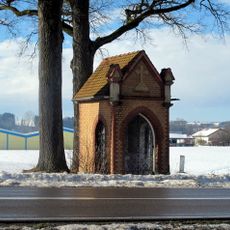
Chapel
2.4 km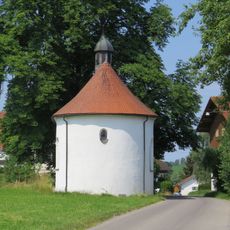
Kapelle St. Joseph
3.5 km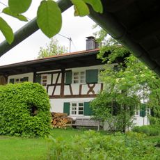
Ehemaliges Kleinbauernhaus
3.6 km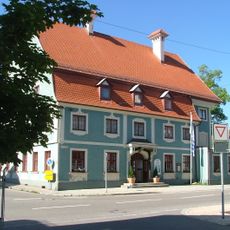
Ehemalige Taverne und Poststation
925 m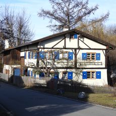
Ehemaliges Kleinbauernhaus
3.2 km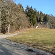
Gedenkstein
3.6 km
Sandsteinfigur
2.4 km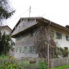
Kleinhaus
3.5 km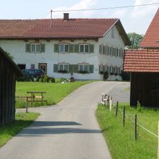
Bauernhaus
2.3 km
Ehemaliges Bauernhaus
995 m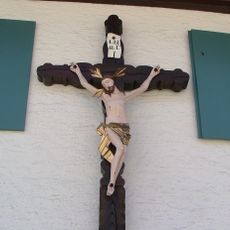
Hausfigur
2.6 km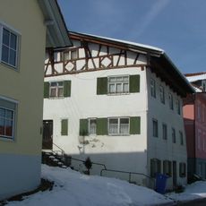
Ehemaliges Bauernhaus
965 m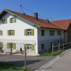
Bauernhaus
3.3 km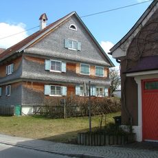
Bauernhaus
2.9 km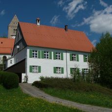
Pfarrhaus
2.5 km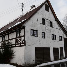
Stadel
2.6 km
Sühnekreuz
2.4 kmReviews
Visited this place? Tap the stars to rate it and share your experience / photos with the community! Try now! You can cancel it anytime.
Discover hidden gems everywhere you go!
From secret cafés to breathtaking viewpoints, skip the crowded tourist spots and find places that match your style. Our app makes it easy with voice search, smart filtering, route optimization, and insider tips from travelers worldwide. Download now for the complete mobile experience.

A unique approach to discovering new places❞
— Le Figaro
All the places worth exploring❞
— France Info
A tailor-made excursion in just a few clicks❞
— 20 Minutes