
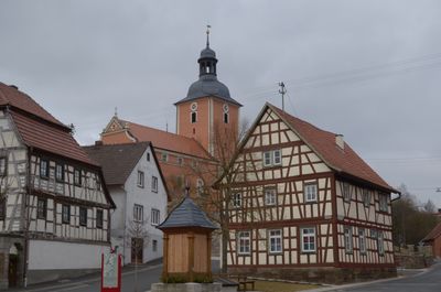
Rathaus, cultural heritage monument D-6-78-181-95 (0) in Stadtlauringen, Bavaria
Location: Stadtlauringen
Address: Am Plan 1
GPS coordinates: 50.21608,10.37880
Latest update: March 3, 2025 12:34
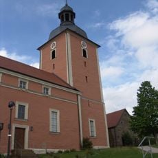
Pfarrkirche
54 m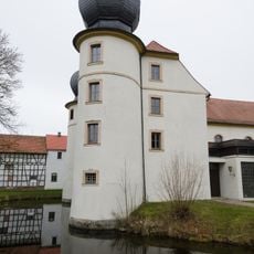
St. Laurentius
2.9 km
Talhänge der Lauer bei Stadtlauringen
2.5 km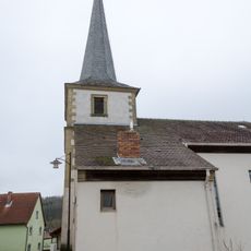
Filialkirche
3 km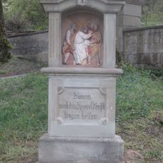
Stations of the Cross (Theinfeld)
3 km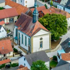
Kirche
2 km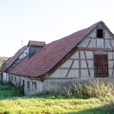
Gutshof
3.2 km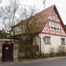
Wohnhaus
69 m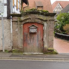
Hoftor
17 m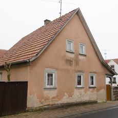
Wohnhaus
134 m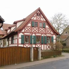
Wohnhaus
166 m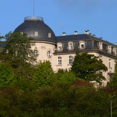
Schloss
3 km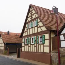
Wohnhaus
143 m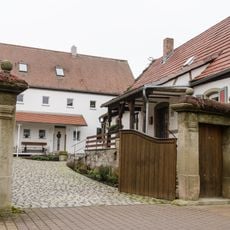
Hoftor
278 m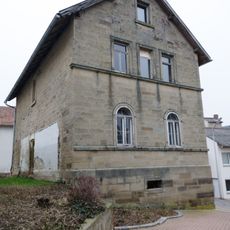
Schule
3 km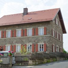
Pfarrkirche
49 m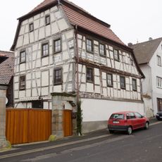
Bauernhof
22 m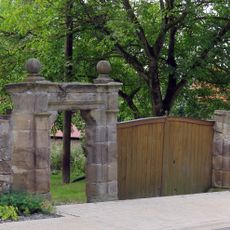
Hoftor
2.1 km
Fußgängerpforte
2 km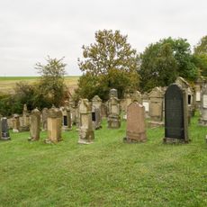
Judenfriedhof
835 m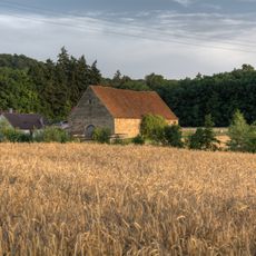
Scheune
3.2 km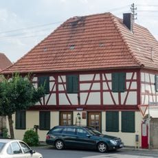
Wohnhaus
41 m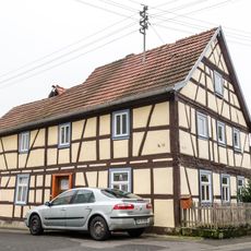
Wohnhaus
240 m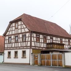
Wohnstallhaus
2.9 km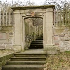
Pforte
72 m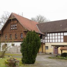
Forsthaus
94 m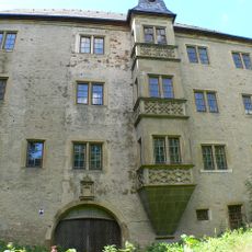
Schloss
3.2 km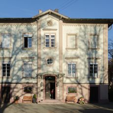
Schloss
120 mReviews
Visited this place? Tap the stars to rate it and share your experience / photos with the community! Try now! You can cancel it anytime.
Discover hidden gems everywhere you go!
From secret cafés to breathtaking viewpoints, skip the crowded tourist spots and find places that match your style. Our app makes it easy with voice search, smart filtering, route optimization, and insider tips from travelers worldwide. Download now for the complete mobile experience.

A unique approach to discovering new places❞
— Le Figaro
All the places worth exploring❞
— France Info
A tailor-made excursion in just a few clicks❞
— 20 Minutes