
Hoftor, spitzbogige Form mit Schlussstein, darauf herzförmiger Wappenschild, Sandstein, bezeichnet „1600“
Location: Neustadt an der Donau
Address: Kelheimer Straße 35
GPS coordinates: 48.86432,11.76704
Latest update: April 5, 2025 02:21

Designated spa town
4.3 km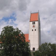
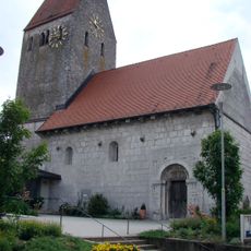
Sankt Georg
91 m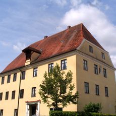
Former Irnsing castle
3.6 km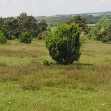
Sandharlander Heide
3.3 km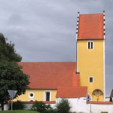
St. Wolfgang
2.4 km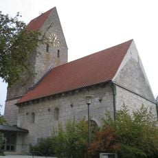
St. Andreas
4.4 km
Katholische Kirche Unsere Liebe Frau
3.6 km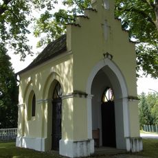
Wegkapelle
566 m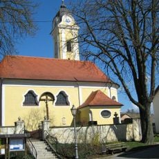
Staubing#Kirche St. Stephan
3.9 km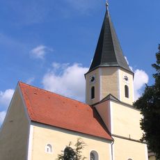
St. Ulrich und Wolfgang
3.5 km
St. Sebastian
1.1 km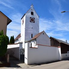
Katholische Filialkirche St. Walburga
4.4 km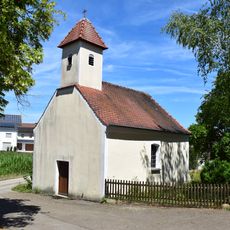
Katholische Ortskapelle
3.4 km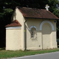
Wegkapelle
1.3 km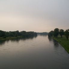
Landschaftsschutzgebiet Donautal
3.8 km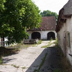
Dreiseithof, Wohnhaus
3.4 km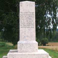
Sogenannte Hadrianssäule
2.3 km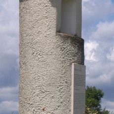
Pfahl, sogenannte Eiserne Hand
1.5 km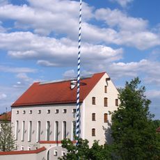
Wohnhaus, ehemaliges Brauereigebäude
3.5 km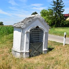
Wegkapelle
4.6 km
Naturschutzgebiet 'Sandharlander Heide'
3.3 km
Pfarrhaus
121 m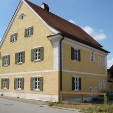
Pfarrhof
1.1 km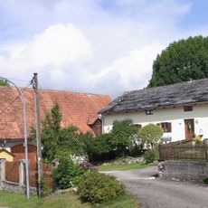
Bauernhaus
3.5 km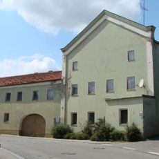
Gasthaus
68 m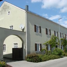
Forstamt Hienheim
62 m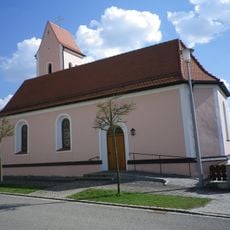
Katholische Kapelle St. Maria
4.6 km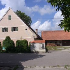
Wohnstallhaus
3.5 kmReviews
Visited this place? Tap the stars to rate it and share your experience / photos with the community! Try now! You can cancel it anytime.
Discover hidden gems everywhere you go!
From secret cafés to breathtaking viewpoints, skip the crowded tourist spots and find places that match your style. Our app makes it easy with voice search, smart filtering, route optimization, and insider tips from travelers worldwide. Download now for the complete mobile experience.

A unique approach to discovering new places❞
— Le Figaro
All the places worth exploring❞
— France Info
A tailor-made excursion in just a few clicks❞
— 20 Minutes