
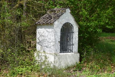
Herz-Jesu-Bildstock, mit Satteldach und rundbogiger Figurennische, spätes 19. Jahrhundert
Location: Dietfurt an der Altmühl
Address: Staadorfer Straße, an der Straße nach Wimpasing
GPS coordinates: 49.07212,11.56927
Latest update: October 17, 2025 10:40
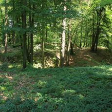
Burgruine Ödenburg (Hainsberg)
3.1 km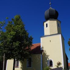
St. Alban (Premerzhofen)
3 km
St. Martin
1.3 km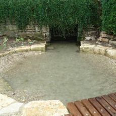
Karstquelle Unterbürg
604 m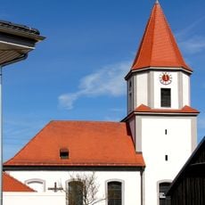
St. Leodegar
2.8 km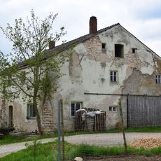
Wohnstallhaus
3 km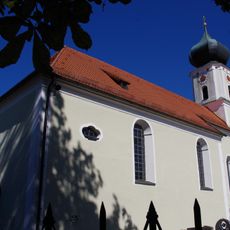
St. Pankratius
3.4 km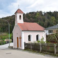
St. Maria
646 m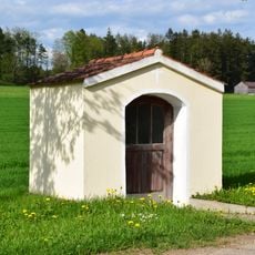
Feldkapelle St. Maria
3.2 km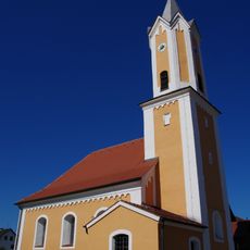
St. Georg (Dürn)
2.4 km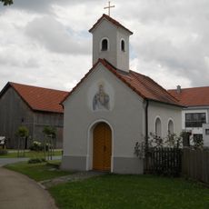
Dorfkapelle Mariä Unbefleckte Empfängnis
1.9 km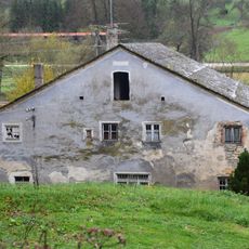
Mühlengebäude
3.1 km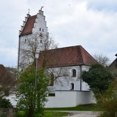
Katholische Filialkirche St. Georg
3 km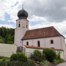
Cultural heritage D-3-6935-0150 in Dietfurt an der Altmühl
1.3 km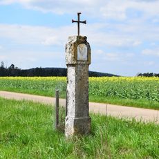
Bildstock
894 m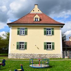
Pfarrhaus
3.4 km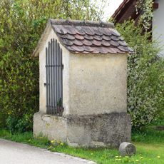
Bildstock
1.1 km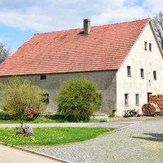
Wohnstallhaus
1.1 km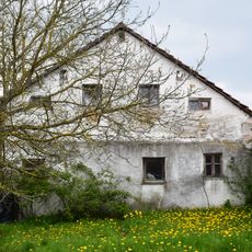
Wohnstallhaus
1.5 km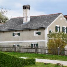
Ehemaliges Wohnstallhaus
2.9 km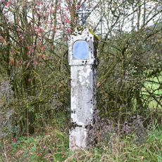
Bildstock am Krebsgangweg
1.6 km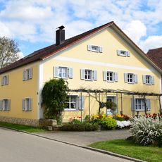
Ehemaliges Wohnstallhaus
3.3 km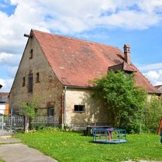
Scheune Kirchenweg 10 in Breitenbrunn (Oberpfalz)
3.4 km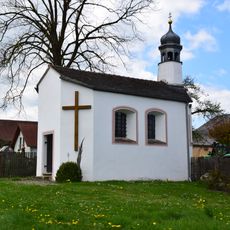
Kapelle Herz Jesu
934 m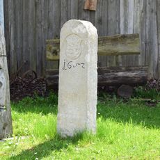
Grenzstein
1.7 km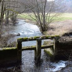
Wehr Premerzhofener Tal; Unterbürger Laber in Breitenbrunn (Oberpfalz)
3.5 km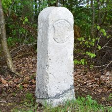
Grenzstein
3.3 km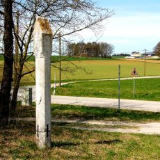
Martersäule in Hainsberg
2.9 kmVisited this place? Tap the stars to rate it and share your experience / photos with the community! Try now! You can cancel it anytime.
Discover hidden gems everywhere you go!
From secret cafés to breathtaking viewpoints, skip the crowded tourist spots and find places that match your style. Our app makes it easy with voice search, smart filtering, route optimization, and insider tips from travelers worldwide. Download now for the complete mobile experience.

A unique approach to discovering new places❞
— Le Figaro
All the places worth exploring❞
— France Info
A tailor-made excursion in just a few clicks❞
— 20 Minutes