
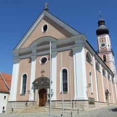
Dorfkapelle St. Maria, building in Cham, Upper Palatinate, Germany
Location: Cham
Address: Janahofer Weg
GPS coordinates: 49.20881,12.66828
Latest update: April 13, 2025 21:19
Stadtpfarrkirche St. Jakob
1 km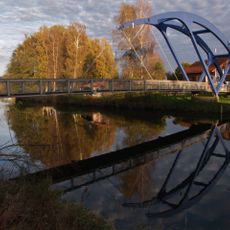
Blaue Brücke
987 m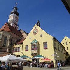
Town Hall of Cham (Oberpfalz)
1 km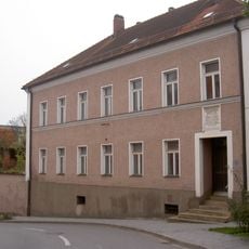
Cham Straubinger Straße 2
824 m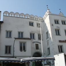
Cham Marktplatz 4
990 m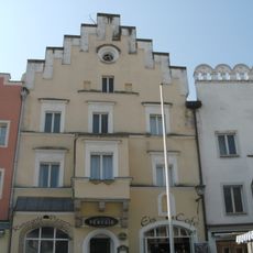
Cham Marktplatz 6
977 m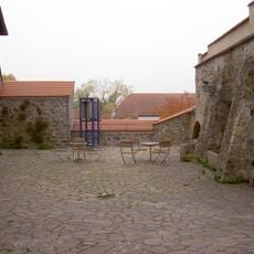
Cham Propsteistraße 46 Cordonhaus
875 m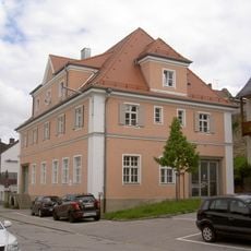
Cham Untere Regenstraße 40
900 m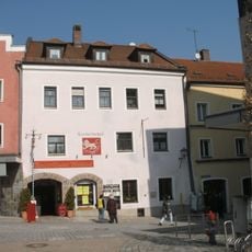
Cham Marktplatz 7
1.1 km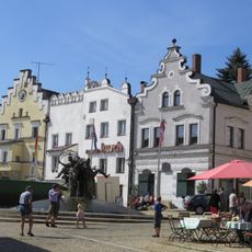
Bürgerhaus
1 km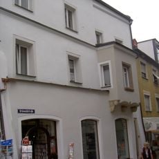
Cham Grünwaldstraße 1
1.1 km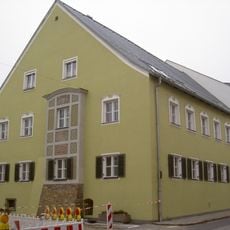
Cham Rindermarkt 16
891 m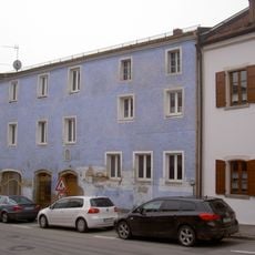
Cham Rindermarkt 6
947 m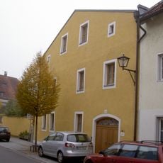
Cham Propsteistraße 42
927 m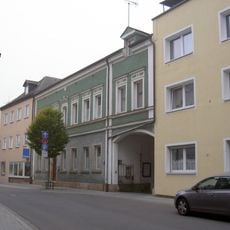
Teil der Stadtmauer
1.1 km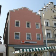
Bürgerhaus
974 m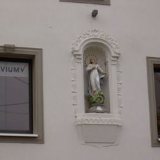
Cham Rindermarkt 14
903 m
Gedenktafel für Nikolaus von Luckner
859 m
Cham Untere Regenstraße 38
893 m
Cham Rindermarkt 12
910 m
Cham Rindermarkt 10
921 m
Wohnhaus
933 m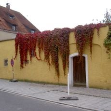
Cham Propsteistraße 44
907 m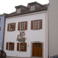
Cham Rindermarkt 4
961 m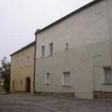
Cham Rindermarkt 18
851 m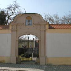
Gartenmauer und Portal des ehemaligen Pfarrgartens
985 m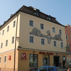
Bürgerhaus
960 m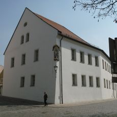
Pfarrhof in Cham
1 kmReviews
Visited this place? Tap the stars to rate it and share your experience / photos with the community! Try now! You can cancel it anytime.
Discover hidden gems everywhere you go!
From secret cafés to breathtaking viewpoints, skip the crowded tourist spots and find places that match your style. Our app makes it easy with voice search, smart filtering, route optimization, and insider tips from travelers worldwide. Download now for the complete mobile experience.

A unique approach to discovering new places❞
— Le Figaro
All the places worth exploring❞
— France Info
A tailor-made excursion in just a few clicks❞
— 20 Minutes