Ehemaliges Wohnstallhaus, building in Roding, Upper Palatinate, Germany
Location: Roding
Address: Hohe-Tannen-Straße 6
GPS coordinates: 49.15584,12.46358
Latest update: November 20, 2025 12:46
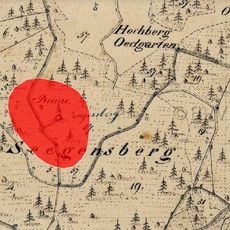
Burgruine Sengersberg
3 km
Burgstall Thierling
1.9 km
Katholische Nebenkirche Maria Königin
1.6 km
Kapelle
2.7 km
Katholische Filialkirche St. Ägidius
2.9 km
Hofkapelle St. Maria
2.8 km
Cultural heritage D-3-6840-0038 in Falkenstein (Oberpfalz)
3 km
Cultural heritage D-3-6840-0019 in Roding
2.8 km
Burgruine Sengersberg
3.1 km
Cultural heritage D-3-6840-0058 in Roding
66 m
Waldlerhaus
2.9 km
Cultural heritage D-3-6840-0053 in Michelsneukirchen
2.9 km
Bauernhaus
2.9 km
Wohnstallhaus
687 m
Granitblöcke SW von Eidengrub
2.4 km
Cultural heritage D-3-6840-0087 in Roding
2.1 km
Doppelbackofen
1.6 km
Granitblöcke 2 südwestlich von Eidengrub
2.5 km
Kornspeicher Steinhof 1 in Zell (Oberpfalz)
716 m
Ehemaliges Wohnstallhaus
2.1 km
Cultural heritage D-3-6840-0052 in Michelsneukirchen
2.4 km
Zugehöriger Getreidekasten
2.8 km
Ehemaliges Wohnstallhaus
144 m
Cultural heritage D-3-6841-0043 in Roding
2.7 km
Scheune Steinhof 1 in Zell (Oberpfalz)
696 m
Ehemalige Mühle
496 m
Aussichtsfelsen Sengersberg
3 km
Mariengrotte
2.5 kmReviews
Visited this place? Tap the stars to rate it and share your experience / photos with the community! Try now! You can cancel it anytime.
Discover hidden gems everywhere you go!
From secret cafés to breathtaking viewpoints, skip the crowded tourist spots and find places that match your style. Our app makes it easy with voice search, smart filtering, route optimization, and insider tips from travelers worldwide. Download now for the complete mobile experience.

A unique approach to discovering new places❞
— Le Figaro
All the places worth exploring❞
— France Info
A tailor-made excursion in just a few clicks❞
— 20 Minutes