
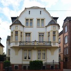
Ferdinand-Dirichs-Straße 11-13, Cultural heritage monument in Limburg an der Lahn, Hesse, Germany
Location: Limburg an der Lahn
Address: Ferdinand-Dirichs-Straße
GPS coordinates: 50.38833,8.05442
Latest update: April 21, 2025 19:23

Parkstraße 21
230 m
Ferdinand-Dirichs-Straße 1-3
88 m
Parkstraße 11-13
289 m
Annastraße 21
304 m
Am Zehntenstein 9-11
267 m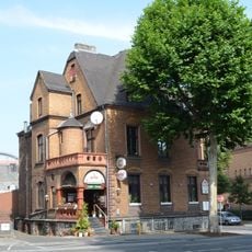
Josef-Ludwig-Straße 3
314 m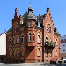
Ste.-Foy-Straße 10
307 m
Parkstraße 23
232 m
Freiherr vom Stein Platz 2-4
143 m
Parkstraße 15–17
271 m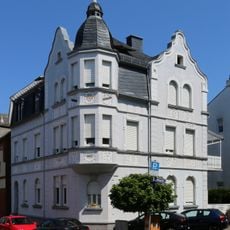
Am Zehntenstein 5
315 m
Parkstraße 25-27
227 m
Diezer Straße 50
290 m
Walderdorffstraße 3-5
201 m
Parkstraße 18–24/Walderdorffstraße 1
210 m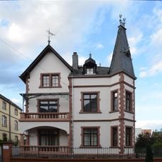
Parkstraße 8
280 m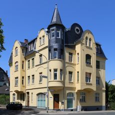
Ste.-Foy-Straße 12
288 m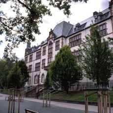
Ehemalige Peter-Paul-Cahensly-Schule
146 m
Parkstraße 6
300 m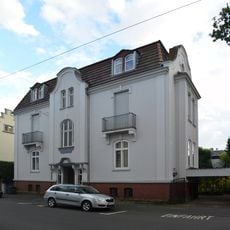
Parkstraße 7
323 m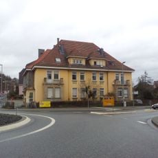
Diezer Straße 50b–50c
292 m
Parkstraße 9
305 m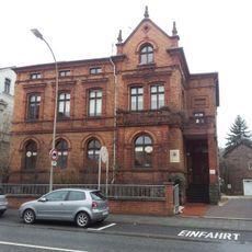
Diezer Straße 48
311 m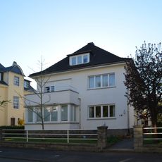
Wohnhaus
319 m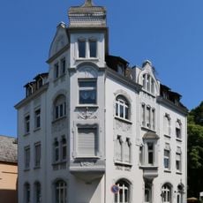
Ste.-Foy-Straße 18
244 m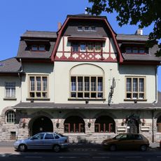
Turnhalle des Turnvereins 1848 e. V. Limburg
275 m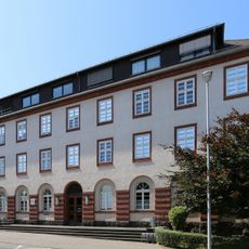
Finanzamt
177 m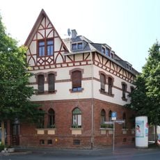
Wohnhaus
304 mReviews
Visited this place? Tap the stars to rate it and share your experience / photos with the community! Try now! You can cancel it anytime.
Discover hidden gems everywhere you go!
From secret cafés to breathtaking viewpoints, skip the crowded tourist spots and find places that match your style. Our app makes it easy with voice search, smart filtering, route optimization, and insider tips from travelers worldwide. Download now for the complete mobile experience.

A unique approach to discovering new places❞
— Le Figaro
All the places worth exploring❞
— France Info
A tailor-made excursion in just a few clicks❞
— 20 Minutes