
Heinade, municipality of Germany
Location: Eschershausen-Stadtoldendorf
Location: Holzminden
Elevation above the sea: 303 m
Website: http://eschershausen-stadtoldendorf.de
GPS coordinates: 51.83306,9.63306
Latest update: March 7, 2025 20:01
Große Blöße
6.4 km
Hunnesrück Castle
3.7 km
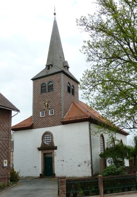
St.-Laurentius-Kirche
5.2 km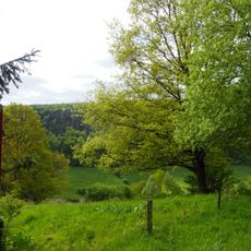
Hellental
5.5 km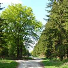
Großer Ahrensberg
4.8 km
Blankschmiede Neimke
5.4 km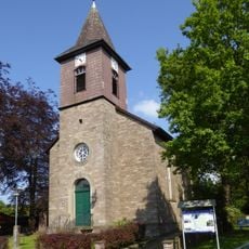
Markuskirche
9.4 km
Bierberg
5.6 km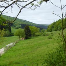
Moore und Wälder im Hochsolling, Hellental
5.5 km
Heukenberg
1.1 km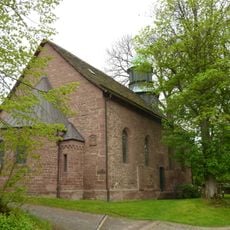
St.-Nicolai-Kirche
4.3 km
Holzberg, Denkiehäuser Wald, Heukenberg
1.7 km
Jewish cemetery, Dassel
5.1 km
Holzbergwiesen
3.3 km
Museum Grafschaft Dassel
5.4 km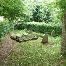
Jüdischer Friedhof
6.4 km
Jewish Cemetery, Sievershausen
7 km
St. Trinitatiskirche
7.4 km
Christophoruskirche
2.6 km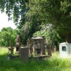
Jüdischer Friedhof
5.6 km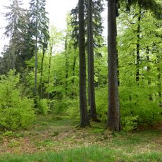
Vogelherd
6.3 km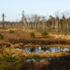
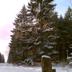
Mecklenbruch
7.8 km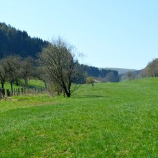
Solling-Vogler
8.4 km
Heukenberg (Landkreis Northeim)
1.6 km
Heukenberg (Landkreis Holzminden)
896 m
Hellental
4.8 km
Vogelherd
6.2 km
Moore und Wälder im Hochsolling, Hellental
6.2 kmVisited this place? Tap the stars to rate it and share your experience / photos with the community! Try now! You can cancel it anytime.
Discover hidden gems everywhere you go!
From secret cafés to breathtaking viewpoints, skip the crowded tourist spots and find places that match your style. Our app makes it easy with voice search, smart filtering, route optimization, and insider tips from travelers worldwide. Download now for the complete mobile experience.

A unique approach to discovering new places❞
— Le Figaro
All the places worth exploring❞
— France Info
A tailor-made excursion in just a few clicks❞
— 20 Minutes