
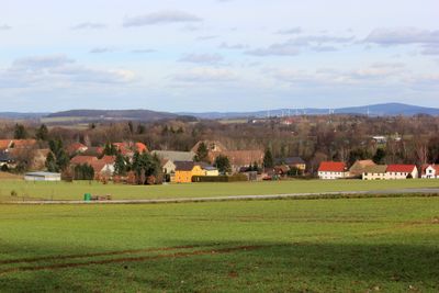
Kuppritz/Koporcy, settlement in Upper Lusatia, Germany
Location: Hochkirch
Elevation above the sea: 242 m
Part of: Sorbian settlement area
GPS coordinates: 51.15080,14.58330
Latest update: May 4, 2025 07:03
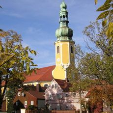
Kirche Hochkirch
926 m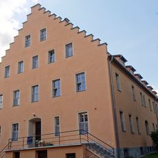
Rittergut Pommritz/Pomorcy
1.5 km
Pommritz railway station
1.1 km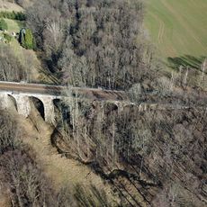
Viadukt Niethen
808 m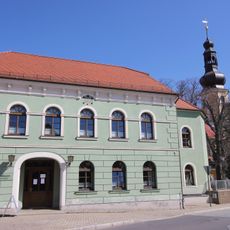
Gasthof mit nördlichem Saalanbau Karl-Marx-Straße 16, 17
971 m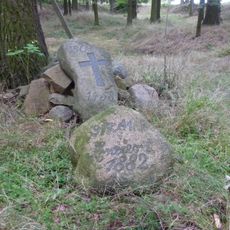
Grablege für Gefallenen der Schlacht bei Hochkirch von 1758 (im Rodewitzer Kiefernbusch, östlich des Ortes Rodewitz)
2.1 km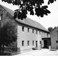
Niedermühle Kohlwesa
1.6 km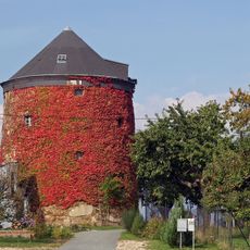
Pommritzer Holländermühle
699 m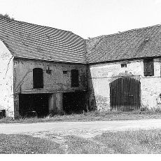
Obermühle Kohlwesa
1.4 km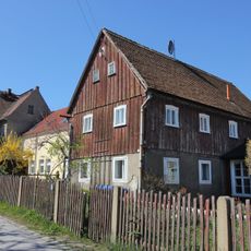
Wohnhaus mit Anbau Friedrich-Engels-Straße 1
1.1 km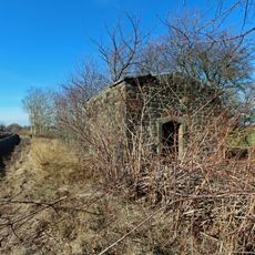
Old Powder House
905 m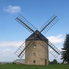
Holländermühle Rodewitz
2.2 km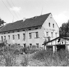
Krujatzmühle Rodewitz
2.1 km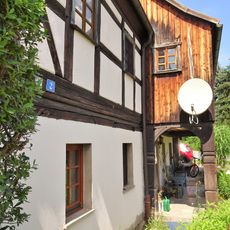
Alte Schmiede
1.6 km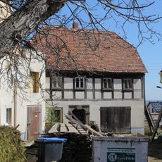
Auszugshaus und östliche Scheune eines Gehöfts August-Bebel-Platz 5
840 m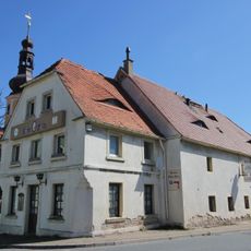
Gasthof „Alter Fritz“ mit Nebengebäude und Scheune Karl-Marx-Straße 19
942 m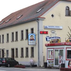
Gerichtskretscham; Gasthaus Hochkirch
1.1 km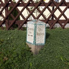
Wegestein Kuppritz 17 (vor)
133 m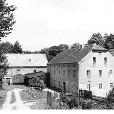
Kuppritzer Ölmühle
228 m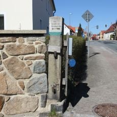
Wegestein (Abzweig nach Sornßig)
907 m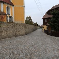
Straßenpflaster entlang der Blutgasse Blutgasse
900 m
Pommritz, Schloss
1.5 km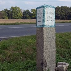
Wegestein Neukuppritz (B 6, Abzweig K 7234 nach Sornßig)
1.1 km
Wohnhaus Karl-Marx-Straße 5
1.1 km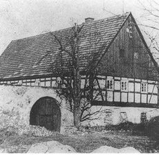
Mühle Plotzen
1.2 km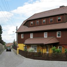
August-Bebel-Platz 2
904 m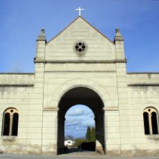
Torhaus des Friedhofs Zum Sportplatz
752 m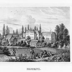
Rittergut und Gutspark Kuppritz (Sachgesamtheit) Kuppritz 19, 19a, 20, 21, 24
30 mVisited this place? Tap the stars to rate it and share your experience / photos with the community! Try now! You can cancel it anytime.
Discover hidden gems everywhere you go!
From secret cafés to breathtaking viewpoints, skip the crowded tourist spots and find places that match your style. Our app makes it easy with voice search, smart filtering, route optimization, and insider tips from travelers worldwide. Download now for the complete mobile experience.

A unique approach to discovering new places❞
— Le Figaro
All the places worth exploring❞
— France Info
A tailor-made excursion in just a few clicks❞
— 20 Minutes