Krina, human settlement in Germany
Location: Muldestausee
Elevation above the sea: 103 m
GPS coordinates: 51.64972,12.48306
Latest update: November 21, 2025 22:05

Jösigk
5.1 km
Muldetalhang Rösa
4.2 km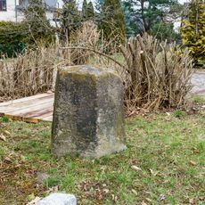
Meilenstein
3.5 km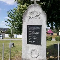
Kriegerdenkmal Gröbern
5.1 km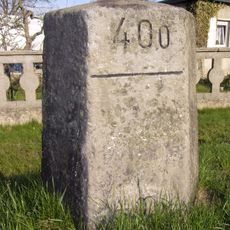
Meilenstein
3.4 km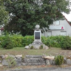
Kriegerdenkmal Gossa
3.4 km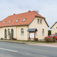
Chausseehaus Gossa
3.5 km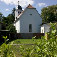
Protestant church Krina
281 m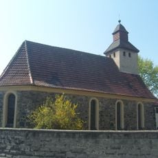
Protestant church Schlaitz
3.9 km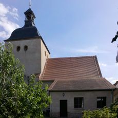
Protestant church Gröbern
5 km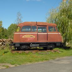
Locomotive, tender locomotive
4.3 km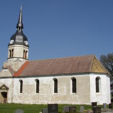
Protestant village church in Schköna
5.2 km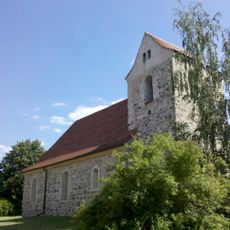
Protestant church Gossa
3.4 km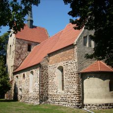
Protestant church Rösa
3.9 km
Muldeaue Pouch-Schwemsal
4.2 km
Muldeaue oberhalb Pouch
4.7 km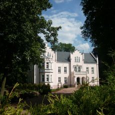
Schloss Schköna
5.1 km
Heidekräutergarten
4.7 km
Mittelpunktstein
2.7 km
Glockenstuhl Rösa
3.8 km
Teufelsstein
4.5 km
Schloßblick
4.1 km
Scenic viewpoint
4 km
Scenic viewpoint
4.5 km
Kriegerdenkmal
5.1 km
Archaeological site
3 km
Affenstein
4 km
Schmerzgrenze
2.8 kmReviews
Visited this place? Tap the stars to rate it and share your experience / photos with the community! Try now! You can cancel it anytime.
Discover hidden gems everywhere you go!
From secret cafés to breathtaking viewpoints, skip the crowded tourist spots and find places that match your style. Our app makes it easy with voice search, smart filtering, route optimization, and insider tips from travelers worldwide. Download now for the complete mobile experience.

A unique approach to discovering new places❞
— Le Figaro
All the places worth exploring❞
— France Info
A tailor-made excursion in just a few clicks❞
— 20 Minutes