
Neuenhain, municipal district of Bad Soden am Taunus, Germany
Location: Bad Soden am Taunus
Elevation above the sea: 233 m
GPS coordinates: 50.15660,8.48928
Latest update: March 21, 2025 08:46

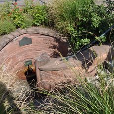
Sauerbrunnen
633 m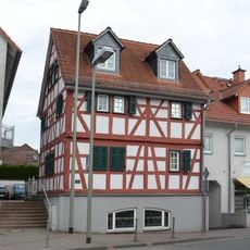
Hauptstraße 22
266 m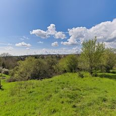
Unteres Altenhainer Tal bei Bad Soden
959 m
Ehemaliges katholisches Pfarrhaus
305 m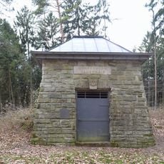
Alter Wasserspeicher
1.1 km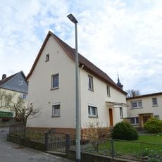
Borngasse 6
318 m
Evangelische Pfarrkirche
359 m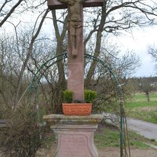
Wegkreuz
599 m
Hauptstraße 55
283 m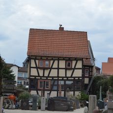
Hauptstraße 21
198 m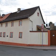
Hauptstraße 53
279 m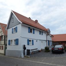
Hundsgasse 5
304 m
Königsteiner Straße 115
965 m
Schwalbacher Straße 2a
305 m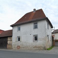
Schulstraße 5
184 m
Borngasse 8
325 m
Sandsteinkreuz
352 m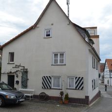
Hundsgasse 2
285 m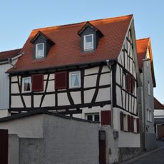
Hundsgasse 3
289 m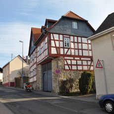
Hauptstraße 28
281 m
Katholische Pfarrkirche Maria Hilf
38 m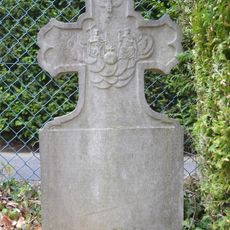
Grabstein an der katholischen Kirche
14 m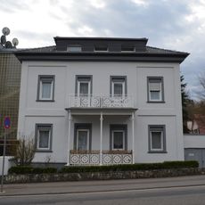
Sachteil: Balkon
837 m
Königsteiner Straße 114a
838 m
Ehem. Nassauer Hof
247 m
Hauptstraße 51
275 m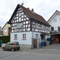
Schwalbacher Straße 9
318 m
Hauptstraße 31
251 mReviews
Visited this place? Tap the stars to rate it and share your experience / photos with the community! Try now! You can cancel it anytime.
Discover hidden gems everywhere you go!
From secret cafés to breathtaking viewpoints, skip the crowded tourist spots and find places that match your style. Our app makes it easy with voice search, smart filtering, route optimization, and insider tips from travelers worldwide. Download now for the complete mobile experience.

A unique approach to discovering new places❞
— Le Figaro
All the places worth exploring❞
— France Info
A tailor-made excursion in just a few clicks❞
— 20 Minutes