
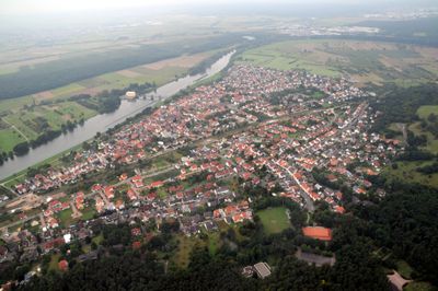
Obernau, human settlement in Germany
Location: Aschaffenburg
Elevation above the sea: 118 m
GPS coordinates: 49.93330,9.13333
Latest update: March 18, 2025 10:21
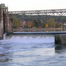
Staustufe Obernau
361 m
Pfarrkirche
120 m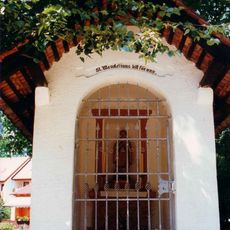
Wendelinuskapelle
700 m
Friedhof
341 m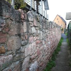
Ortsbefestigung
28 m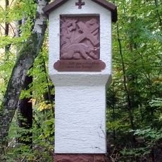
Kreuzwegstation Im Sohl in Aschaffenburg
996 m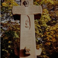
Kriegerdenkmal
694 m
Bildstock
94 m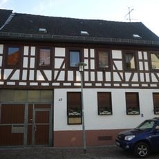
Wohnhaus
127 m
Wohnhaus
36 m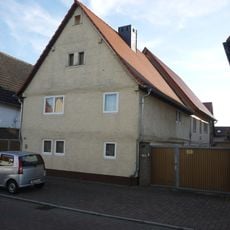
Wohnhaus
262 m
Bildstock
903 m
Wohnhaus
36 m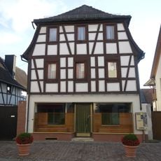
Wohnhaus
148 m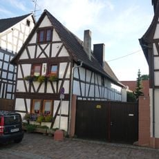
Wohnhaus
139 m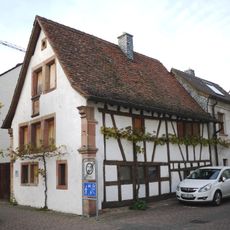
Wohnhaus
314 m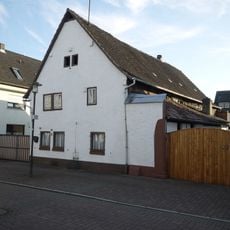
Wohnhaus
234 m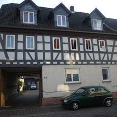
Wohnhaus
115 m
Pfarrhaus
98 m
Doppeltoranlage
77 m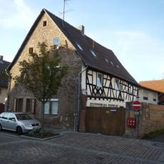
Wohnhaus
178 m
Rathaus
150 m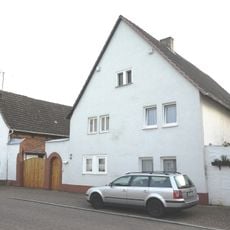
Wohnhaus
250 m
Wohnhaus
15 m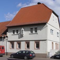
Wohnhaus
37 m
Schulgebäude
94 m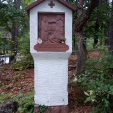
Kreuzwegstation Nähe Judenpfad in Aschaffenburg
766 m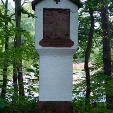
Kreuzwegstation Im Sohl in Aschaffenburg
822 mReviews
Visited this place? Tap the stars to rate it and share your experience / photos with the community! Try now! You can cancel it anytime.
Discover hidden gems everywhere you go!
From secret cafés to breathtaking viewpoints, skip the crowded tourist spots and find places that match your style. Our app makes it easy with voice search, smart filtering, route optimization, and insider tips from travelers worldwide. Download now for the complete mobile experience.

A unique approach to discovering new places❞
— Le Figaro
All the places worth exploring❞
— France Info
A tailor-made excursion in just a few clicks❞
— 20 Minutes