Enable Location

We need your location to show you interesting places around you

Discover nearby places

Find interesting locations and hidden gems around you

Precise directions

Get accurate directions and distances to places

Your location is never shared with other users. It's only used when you tap the location button.

Aschaffenburg

Log in to your account

Start exploring — it's free

Trusted by 62,834 travelers worldwide

Continue with Google
Continue with Apple
or

We will send you a code to connect

By continuing, you accept our Terms and Conditions and our Privacy Policy

Check your inbox

We've sent a pincode in your inbox. Please enter the code below.

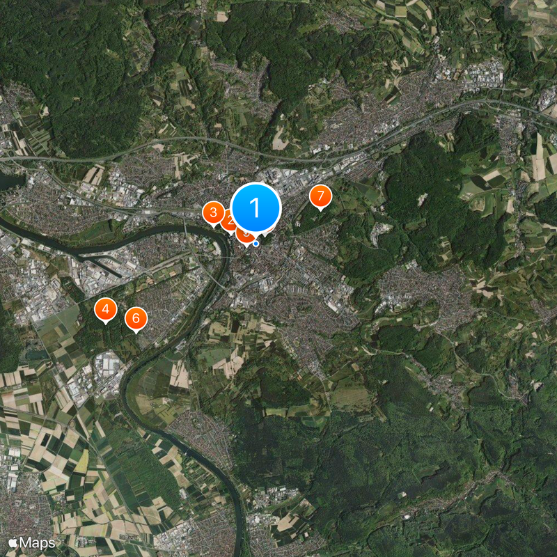
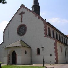
Aschaffenburg, Administrative center in Lower Franconia, Germany

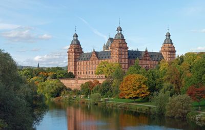
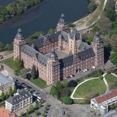
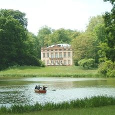
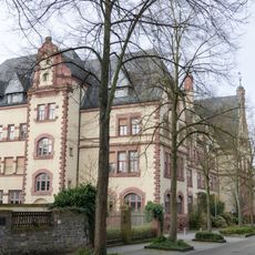
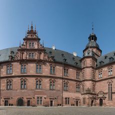
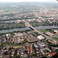
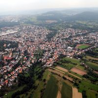
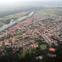
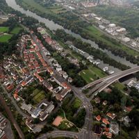
Aschaffenburg is an administrative center in Lower Franconia on the border between Bavaria and Hesse. The settlement extends along the right bank of the Main with several bridges and parks between the river and residential quarters.

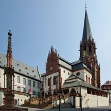
The settlement began as a fishing village in the early Middle Ages and received town rights in 1173 under the electors of Mainz. After hosting an imperial Diet in 1447, the town passed from the Electorate of Mainz to the Kingdom of Bavaria in 1814.

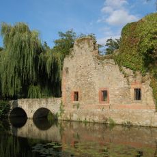
The town takes its name from the Aschaff stream that joins the Main River west of the old center. Locals still refer to their home as the Bavarian Nice because of its mild climate and open spaces facing south.

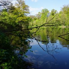
The main station connects the town with Frankfurt and other destinations in the Rhine-Main area for day trips or longer stays. Shops and facilities concentrate in the center, while parks and riverside paths invite walks along the water.

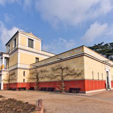
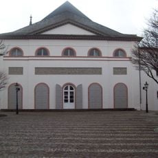
The Pompejanum was built in 1845 as a replica of a Roman villa from Pompeii with faithful wall paintings and a Mediterranean garden. Visitors find in this reconstruction insights into ancient living with authentic decorations and plants from Roman times.

The community of curious travelers

AroundUs brings together thousands of curated places, local tips, and hidden gems, enriched daily by 60,000 contributors worldwide.

Start exploring
Location
Elevation above the sea
133 m
Shares border with
Aschaffenburg district, Miltenberg, Kleinostheim, Goldbach, Glattbach, Haibach, Mainaschaff, Stockstadt am Main
Address
Dalbergstraße
GPS coordinates
49.97405,9.14936
Latest update
December 14, 2025 20:34
« Aschaffenburg - Administrative center in Lower Franconia, Germany » is provided by Around Us (aroundus.com). Images and texts are derived from Wikimedia project under a Creative Commons license. You are allowed to copy, distribute, and modify copies of this page, under the conditions set by the license, as long as this note is clearly visible.

Discover hidden gems everywhere you go!

From secret cafés to breathtaking viewpoints, skip the crowded tourist spots and find places that match your style. Our app makes it easy with voice search, smart filtering, route optimization, and insider tips from travelers worldwide. Download now for the complete mobile experience.

Around Us App Screenshot

A unique approach to discovering new places

Le Figaro

All the places worth exploring

France Info

A tailor-made excursion in just a few clicks

20 Minutes

Around Us
Travel Guide & Maps
Download

Send to your phone

QR Code
1

Open the camera app on your mobile.

2

Point at the QR code with your camera. A notification will appear.

3

Tap the notification to open the link.