Enable Location

We need your location to show you interesting places around you

Discover nearby places

Find interesting locations and hidden gems around you

Precise directions

Get accurate directions and distances to places

Your location is never shared with other users. It's only used when you tap the location button.

Lower Franconia

Log in to your account

Start exploring — it's free

Trusted by 62,841 travelers worldwide

Continue with Google
Continue with Apple
or

We will send you a code to connect

By continuing, you accept our Terms and Conditions and our Privacy Policy

Check your inbox

We've sent a pincode in your inbox. Please enter the code below.

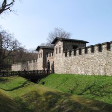
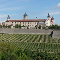
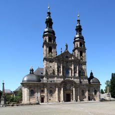
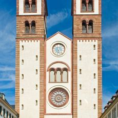
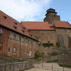
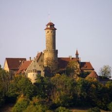
Lower Franconia, Administrative district in Bavaria, Germany

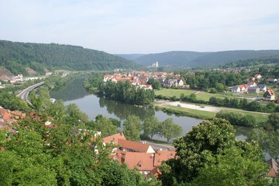
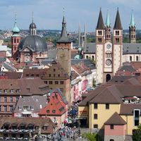
Lower Franconia is an administrative district in northern Bavaria that stretches along the Main River and includes nine counties plus three independent cities. The territory lies between the Rhön hills in the west and the Steigerwald forest in the east, containing around three hundred municipalities with headquarters in Würzburg.

The area was originally called Untermainkreis and renamed in 1837 under King Ludwig I. The new name aimed to emphasize its connection to the Franconian cultural region and distinguish it from other Bavarian districts.

Locals often speak Mainfränkisch, a dialect with softer tones than southern Bavarian. Many villages celebrate their Franconian wine festivals wearing traditional costumes with green or red accents.

Most public offices are located in Würzburg, while smaller towns offer local contact points for everyday matters. Travelers can explore the area easily by regional trains or car, with roads and rail lines connecting the main towns.

The area contains over a thousand hectares of vineyards along the Main, making it Germany's second-largest wine region. Local vintners grow mainly Silvaner and Müller-Thurgau, two grape varieties deeply rooted in Franconian wine culture.

The community of curious travelers

AroundUs brings together thousands of curated places, local tips, and hidden gems, enriched daily by 60,000 contributors worldwide.

Start exploring
Location
Capital city
Würzburg
Elevation above the sea
289 m
Shares border with
Upper Franconia, Middle Franconia, Stuttgart Government Region, Karlsruhe Government Region, Darmstadt Government Region, Kassel Government Region, Thuringia
GPS coordinates
50.02447,9.93190
Latest update
December 13, 2025 15:34
« Lower Franconia - Administrative district in Bavaria, Germany » is provided by Around Us (aroundus.com). Images and texts are derived from Wikimedia project under a Creative Commons license. You are allowed to copy, distribute, and modify copies of this page, under the conditions set by the license, as long as this note is clearly visible.

Discover hidden gems everywhere you go!

From secret cafés to breathtaking viewpoints, skip the crowded tourist spots and find places that match your style. Our app makes it easy with voice search, smart filtering, route optimization, and insider tips from travelers worldwide. Download now for the complete mobile experience.

Around Us App Screenshot

A unique approach to discovering new places

Le Figaro

All the places worth exploring

France Info

A tailor-made excursion in just a few clicks

20 Minutes

Around Us
Travel Guide & Maps
Download

Send to your phone

QR Code
1

Open the camera app on your mobile.

2

Point at the QR code with your camera. A notification will appear.

3

Tap the notification to open the link.