Schwarzes Moor in der Rhön, Protected bog in Bavarian Rhön Mountains, Germany
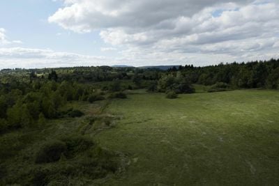
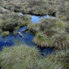
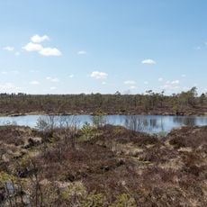
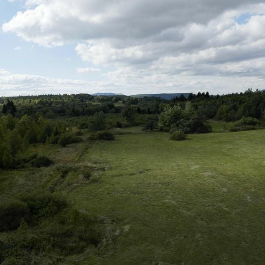
Schwarzes Moor is a raised bog in the Bavarian Rhön, six kilometres from Fladungen at the tripoint of Bavaria, Hesse and Thuringia. Its dome-shaped surface rises from a central plateau near the northern edge, where peat reaches over eight metres deep, and falls away on all sides. The plateau measures about 800 by 400 metres, with elongated flarks up to 50 metres long on the steepest slopes.
This bog formed after the last ice age through the buildup of plant material in wet hollows. It gained protection in the 20th century after earlier extraction attempts had threatened its natural character.
The name comes from Franz Anton Jäger, vicar cooperator of Simmershausen, who wrote in 1803 that the Black Moor was wetter than the Red Moor. The red Magellan's peatmoss that gave the Red Moor its name grew here too, but became waterlogged as soon as it germinated, turned mouldy and then black — hence Schwarzes Moor.
The moor lies at 770 to 782 metres on the upper slope of the 805-metre Querenberg, reached via the Hochrhönstraße and state road ST 2287 from Seiferts, six kilometres from Fladungen. A boardwalk crosses the bog; the largest of the three moor eyes near it covers almost 500 square metres and is about 2.5 metres deep. The climate is rough and cold, with annual mean temperatures near 5 °C and over 1000 mm of precipitation at the nearby Rhönhof.
The landscape displays a regular pattern of parallel troughs and ridges that formed over thousands of years through natural processes. This geometric design emerges because water flows along specific lines and shapes peat growth in those zones.
The community of curious travelers
AroundUs brings together thousands of curated places, local tips, and hidden gems, enriched daily by 92,800 contributors worldwide.