Limes Germanicus, Roman frontier fortification in southern Germany
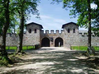
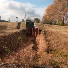
Limes Germanicus is a Roman frontier fortification in southern Germany that runs 550 kilometers (340 miles) from the Rhine to the Danube, encompassing walls, watchtowers, and military camps. The line crosses present-day federal states including Baden-Württemberg, Bavaria, Hesse, and Rhineland-Palatinate, where visible sections alternate with earthworks, foundations, and partially reconstructed structures.
Construction started in the early 1st century after the Battle of Teutoburg Forest and defined the northern imperial boundary. Roman legions used the line until the late 3rd century, before Germanic tribes advanced into the territory and the garrison withdrew.
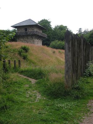
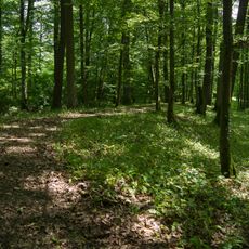
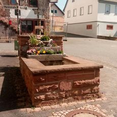
The name combines Latin limes, meaning border path, with the ancient term Germania. Remains of palisades and ditches now stand beside walking and cycling trails through forests and fields, where visitors stroll between stone blocks and reconstructed towers.
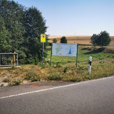
Many sections lie in rural areas and are accessible via regional roads or hiking trails, with some sites offering nearby parking. Information panels at several points explain the function and layout of the frontier works, making orientation easier during longer stretches.
Watchtowers along the border stood roughly one kilometer apart, allowing guards to relay messages with signal fires or smoke signals. This communication chain enabled rapid warnings throughout the entire system whenever danger approached.
The community of curious travelers
AroundUs brings together thousands of curated places, local tips, and hidden gems, enriched daily by 60,000 contributors worldwide.