Enable Location

We need your location to show you interesting places around you

Discover nearby places

Find interesting locations and hidden gems around you

Precise directions

Get accurate directions and distances to places

Your location is never shared with other users. It's only used when you tap the location button.

Log in to your account

Start exploring — it's free

Trusted by 61,406 travelers worldwide

Continue with Google
Continue with Apple
or

We will send you a code to connect

By continuing, you accept our Terms and Conditions and our Privacy Policy

Check your inbox

We've sent a pincode in your inbox. Please enter the code below.

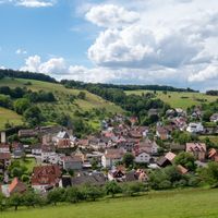
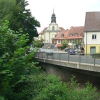
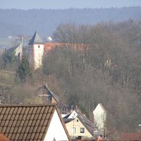
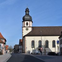
Aschaffenburg district, Administrative district in Lower Franconia, Germany

Description

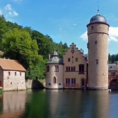
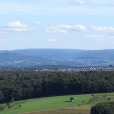
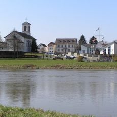
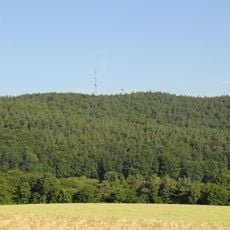
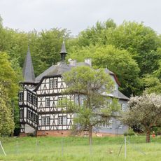
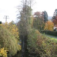
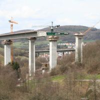
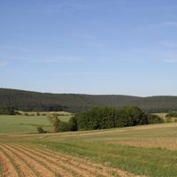
Aschaffenburg district is an administrative region in Lower Franconia comprising multiple municipalities spread across several hundred square kilometers. Forests cover much of the land, with the Main River running along its western edge as a natural boundary.

History

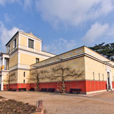
The administrative region was established in 1862 through the consolidation of several administrative areas during Bavaria's territorial reorganization. This reorganization shaped the governance structure that continues to serve the region today.

Culture

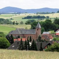
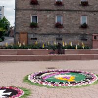
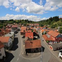
Each municipality preserves local customs and traditions through regular festivals, markets, and seasonal celebrations throughout the year. These events bring residents together and reflect the region's connection to its agricultural and craftsmanship heritage.

Practical

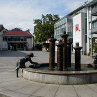
The municipalities in the district are easily accessible and well-connected, making exploration straightforward for visitors. Most towns have good transportation links and parking facilities to accommodate travelers.

Did you know?

Between 2013 and 2020, the geographic center of the European Union was located within this district. This temporary position gave the region a unique place on the continental map.

Location
Inception
July 1, 1862
Capital city
Aschaffenburg
Elevation above the sea
246 m
Shares border with
Main-Spessart, Miltenberg, Aschaffenburg, Offenbach, Darmstadt-Dieburg, Main-Kinzig-Kreis
GPS coordinates
50.08000,9.17000
Latest update
December 20, 2025 02:56

AroundUs brings together thousands of curated places, local tips, and hidden gems, enriched daily by 60,000 contributors worldwide. Discover all places nearby (Lower Franconia).

« Aschaffenburg district - Administrative district in Lower Franconia, Germany » is provided by Around Us (aroundus.com). Images and texts are derived from Wikimedia project under a Creative Commons license. You are allowed to copy, distribute, and modify copies of this page, under the conditions set by the license, as long as this note is clearly visible.

Discover hidden gems everywhere you go!

From secret cafés to breathtaking viewpoints, skip the crowded tourist spots and find places that match your style. Our app makes it easy with voice search, smart filtering, route optimization, and insider tips from travelers worldwide. Download now for the complete mobile experience.

Around Us App Screenshot

A unique approach to discovering new places

Le Figaro

All the places worth exploring

France Info

A tailor-made excursion in just a few clicks

20 Minutes

Around Us
Travel Guide & Maps
Download

Send to your phone

QR Code
1

Open the camera app on your mobile.

2

Point at the QR code with your camera. A notification will appear.

3

Tap the notification to open the link.